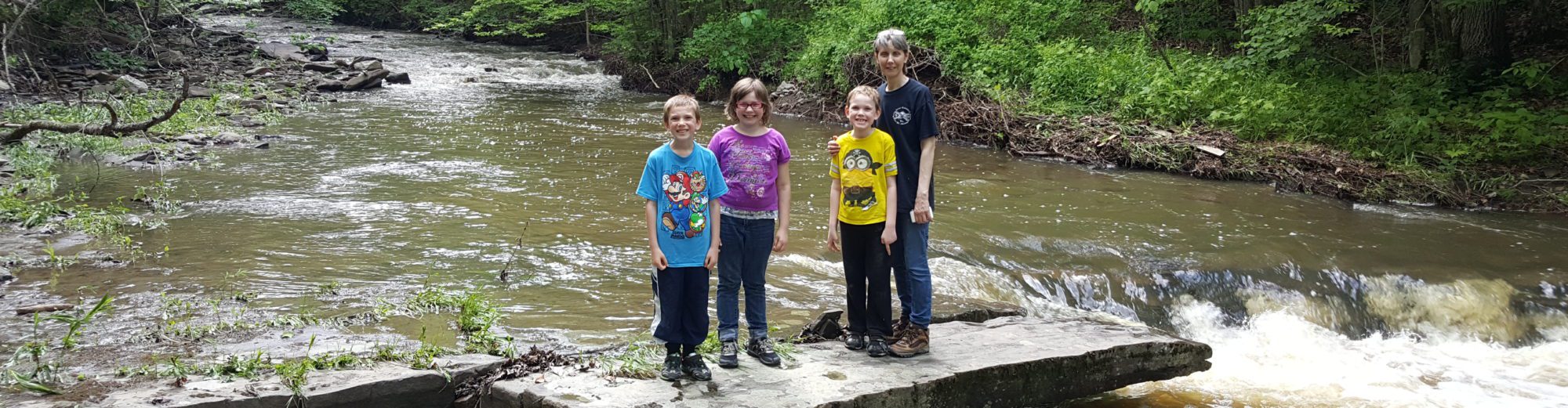
Stream, River: Black Creek
Height, Type: ————-
Elevation: 1309 ft
Level of Difficulty, Hiking Distance: Private
Whitewater Rte, Canoe Rte Map: ————-
Maps: ————-
My Resource: ————-
Book Resource: ————-
Brochures, Travel Guides, Visitor Guides: ————-
Trail_URL: ————-
Additional Information: ————-
Photos, Information Contributed to other Websites: ————-
Landmark: ————-
Nearest Intersection: Black Creek Rd and Cemetery Rd
Directions: ————-
Comments, Notes: Historical the reservoir and dam no longer is there. The land owner showd us around, and stated he would be willing to take us further in to the waterfall that is still there.
Original content here is published under these license terms:
X
License Type:
General Public License
License Abstract:
The GNU General Public License is a free, copyleft license for software and other kinds of works. You may re-publish the content (modified or unmodified) providing the re-publication is itself under the terms of the GPL.


Pingback: Road trip to Herkimer County area now published 5-2-2010 - Bobbieswaterfalls