Waterfall Name: Farrington Rd, Falls on #5
Aka: Wolf Hollow Falls
Location: Fairfield Twn
First Visit: 01-13-2013
State: New York State
Region: Central Region
County: Herkimer County
Park Area: ————-
NYS Tourism Region: Adirondack Mountains
NYDEC Region: Western Adirondacks/Eastern Lake Ontario
Waterfall Challenge:————-
Waterfall Location: N43.16503 W74.97681
Parking: Private
Trailhead: Private
Trail Name, Reference to: Private
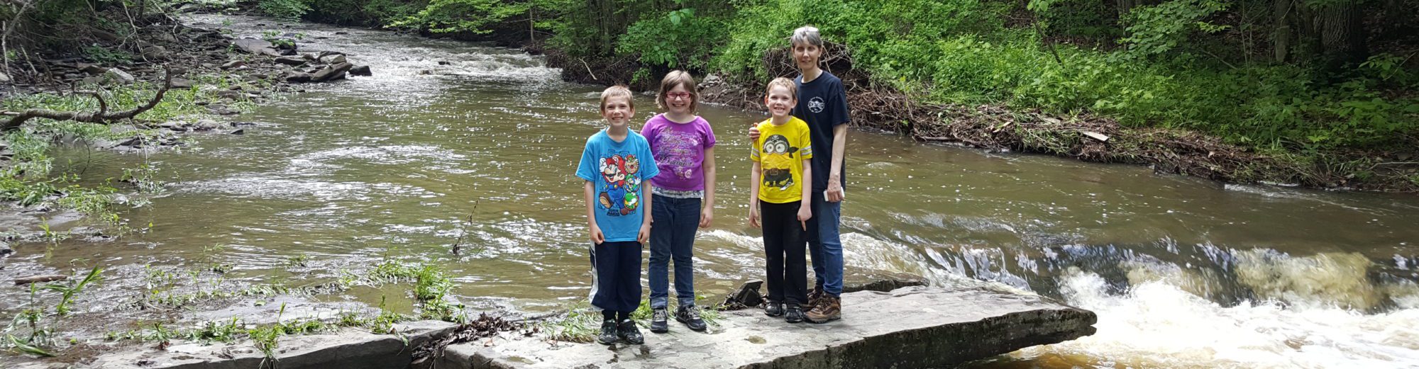
Stream, River: Wolf Hollow Creek/Mill Creek/City Brook
Height, Type: Various
Elevation: ————-
Level of Difficulty, Hiking Distance: Private
Whitewater Rte, Canoe Rte Map: ————-
Maps: ————-
My Resource: I Found This Just Driving Around
Book Resource: ————-
Brochures, Travel Guides, Visitor Guides: ————-
Trail_URL: ————-
Additional Information: Russell Dunn
Photos, Information Contributed to other Websites: Dig the Falls, Northern New York Waterfalls
Landmark: ————-
Nearest Intersection: Farrington Rd and Castle Rd
Directions: From I-90 W, at Indian Castle, Take exit 29A to the right onto Rt-169 towards Little Falls/Dolgeville and drive for 2.7 miles. Turn left onto Hwy 167 W and drive for .7 miles. Turn right onto S Ann St and drive for .3 miles. Turn left onto W Monroe St and drive for 10.8 miles. Turn right onto Castle Rd and drive for .2 miles. Keep left onto Old City Rd and drive for .2 miles. Which comes to a dead end at the bridge. Old City Rd Falls Parking From here turn around and get back on Castle Rd (turning left off of Old City Rd) and drive for .3 miles. Turn left onto Farrington Rd. You will immediately see the bridge over the creek. Park anywhere here before or after the bridge. Farrington Rd Falls Parking From here turn back around and turn left onto Castle Rd and drive for .5 miles. High Falls (Middleville) aka Wolf Hollow Creek Falls Parking Park here on the side of the road. The falls will be on your left.
Comments, Notes: Park on the roadside just after the bridge. There is a small herd path that leads right up to the falls. Farther upstream there are more falls. I had named the next one up, Upper Falls. Google imagery shows 5 sections of falls in this area, and before you would be at the location for High Falls (Middleville). Falls 3 N43.16493 W74.97863 Falls 4 N43.16493 W74.97787 Falls 5 N43.16503 W74.97681
————-
————-
————-
————-