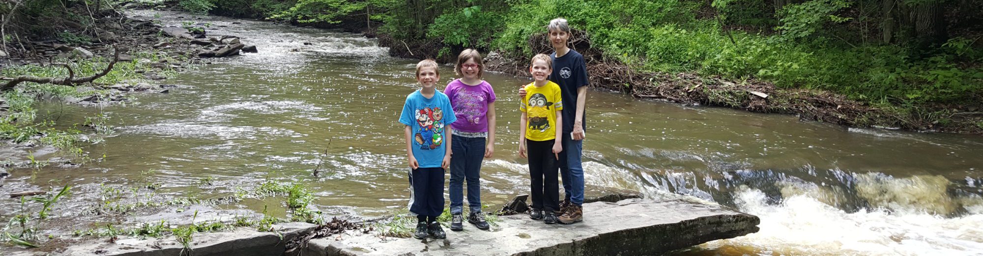
Stream, River: Morris Brook
Height, Type: ————-
Elevation: 1166 ft
Level of Difficulty, Hiking Distance: Short scramble
Whitewater Rte, Canoe Rte Map: ————-
Maps: Delorme Atlas & Gazetteer New York State 9th Edition 2011
My Resource: Eastern New York all outdoors Atlas and Field Guide Publication 2008,B3,pg138
Book Resource: ————-
Brochures, Travel Guides, Visitor Guides: ————-
Trail_URL: ————-
Additional Information: World Waterfall Database, Geology Website
Photos, Information Contributed to other Websites: ————-
Landmark: ————-
Nearest Intersection: Dimock Hollow Rd and Rd and Hwy 51
Directions: From I-90 W, in Canajoharie, Take exit 29 to the right towards Rt-10/Canajoharie/Sharon Springs and drive for .7 miles. Turn right onto E Main St and drive for 3.6 miles. Turn left onto Main St and drive for 2.7 miles. Keep left onto Cherry Valley Rd and drive for 4.6 miles. Turn right onto Cherry Valley Rd and drive for 5.6 miles. Turn left onto Hwy 166 and drive for 20.8 miles. Turn right onto Cr-46 and drive for 3.4 miles. Turn left onto Cr-46 and drive for 5.4 miles. Turn right onto Water St and drive for .3 miles. Turn left onto Main St and drive for .4 miles. Keep right onto Cr-10 and drive for 4.3 miles. Bear left onto Cr-10 and drive for .5 miles. Turn right onto Hwy 23 and drive for 4.6 miles. Turn left onto Main St and drive for 3.7 miles. Turn right onto Dimmock Hollow Rd and for for .3 miles.
Original content here is published under these license terms:
X
License Type:
General Public License
License Abstract:
The GNU General Public License is a free, copyleft license for software and other kinds of works. You may re-publish the content (modified or unmodified) providing the re-publication is itself under the terms of the GPL.