
Waterfall Name: Minelot Second Falls
Aka: Assumed location, due to stream name
Location: New Scotland
First Visit: 10-14-2016
State: New York State
Region: Eastern Region
County: Albany County
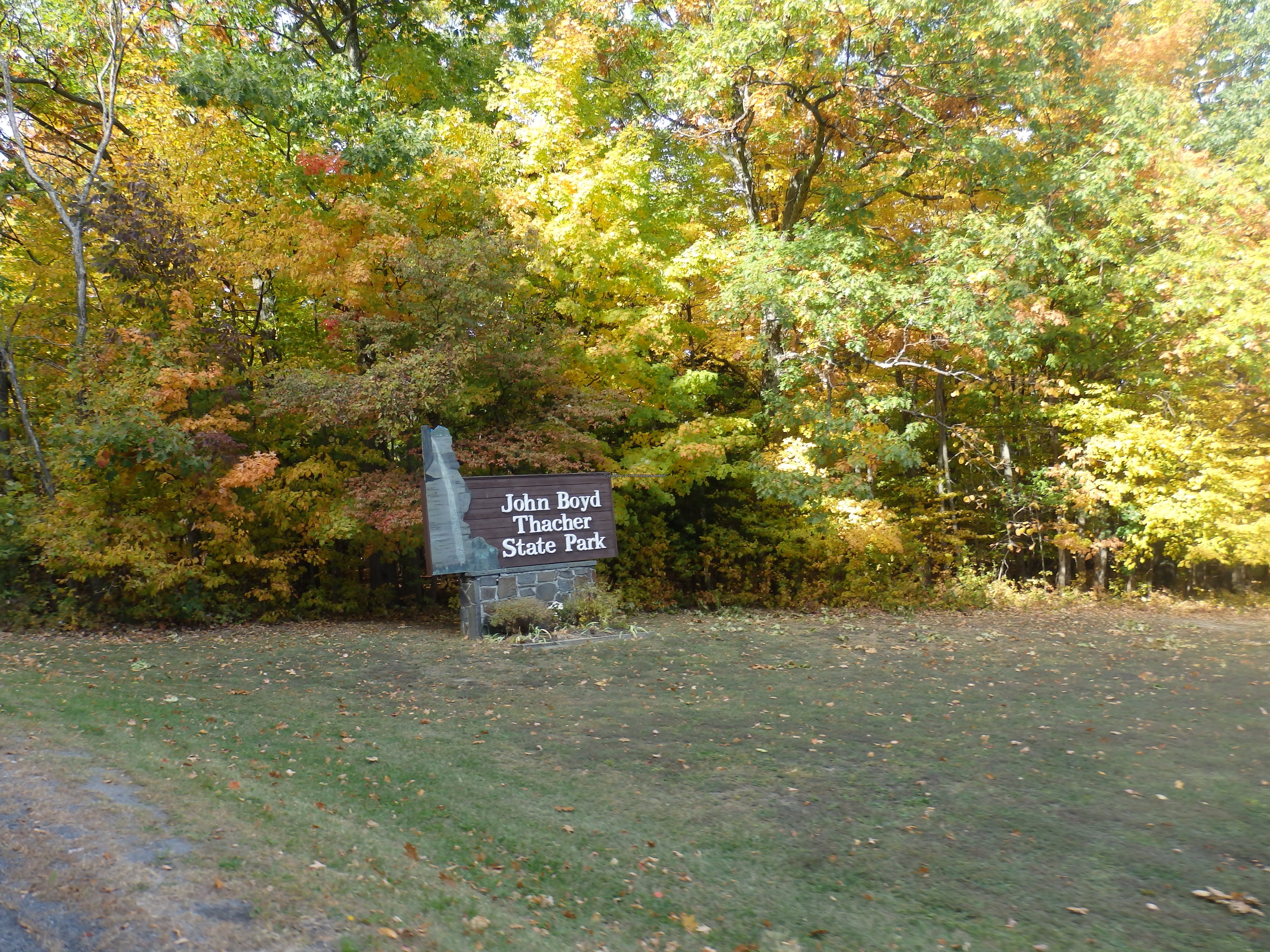
Park Area: John Boyd Thacher Park
NYS Tourism Region: Capital-Saratoga
NYDEC Region: Capital Region/Northern Catskills
Waterfall Challenge: Hudson Valley Waterfall Challenge Paperback – March 9, 2020, by John Haywood, Albany, pg10
Waterfall Location: N42.6541 W74.01249
Parking: N42.65261 W1501
Trailhead: N42.65538 W74.01721
Trail Name, Reference to: ————-
Stream, River: Mine Lot Brook
Height, Type: ————-
Elevation: ————-
Level of Difficulty, Hiking Distance: .4 mile/Lower Bear Path
Whitewater Rte, Canoe Rte Map: ————-
Maps: Eastern New York all outdoors Atlas & Field Guide Publication 2008 pg 135-e4
My Resource: Dig the Falls
Book Resource: ————-
Brochures, Travel Guides, Visitor Guides: ————-
Trail_URL: ————-
Additional Information: ————-
Photos, Information Contributed to other Websites: ————-
Landmark: ————-
Nearest Intersection: ————-
Directions: ————-
Comments, Notes: ————-
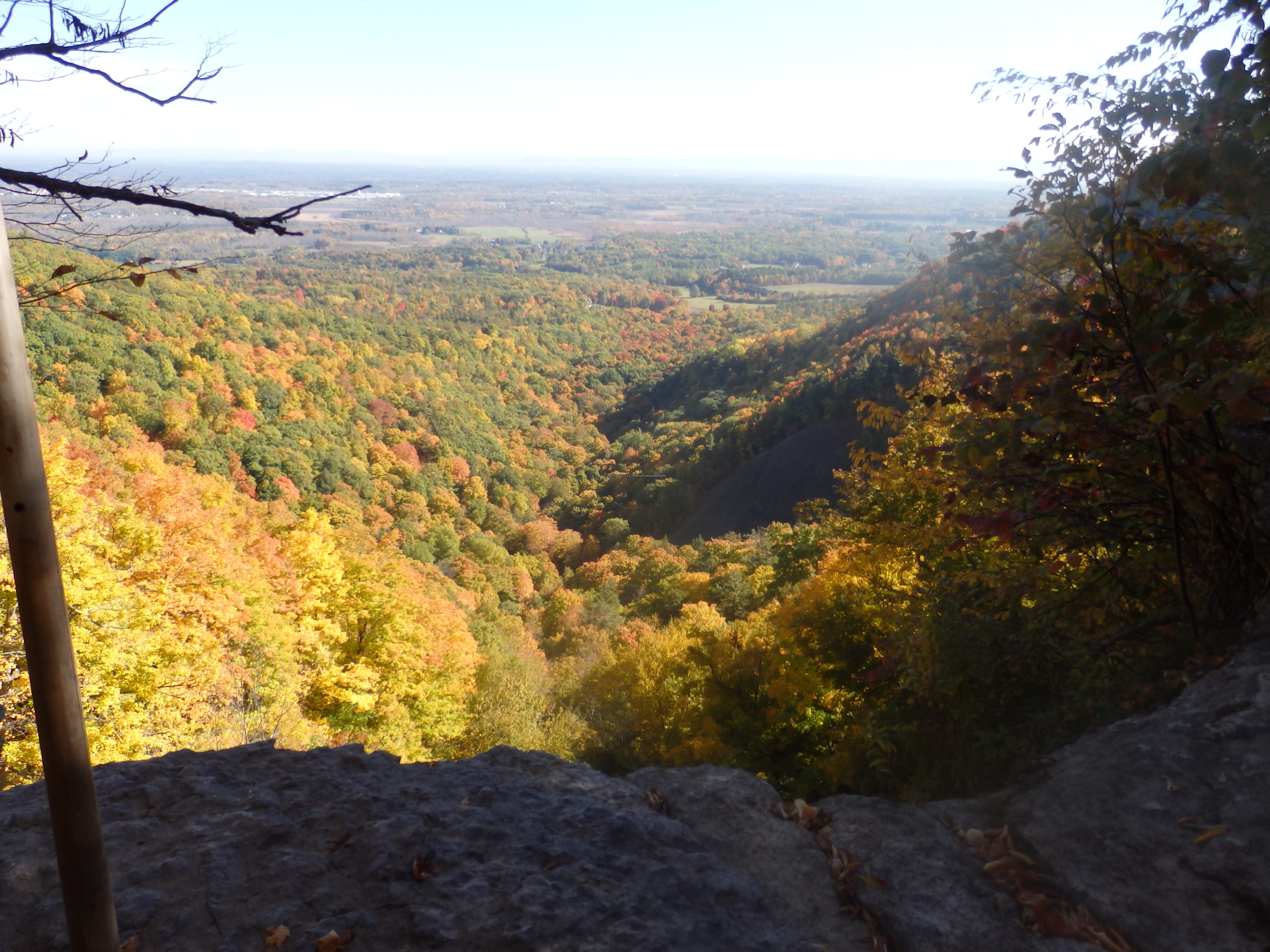
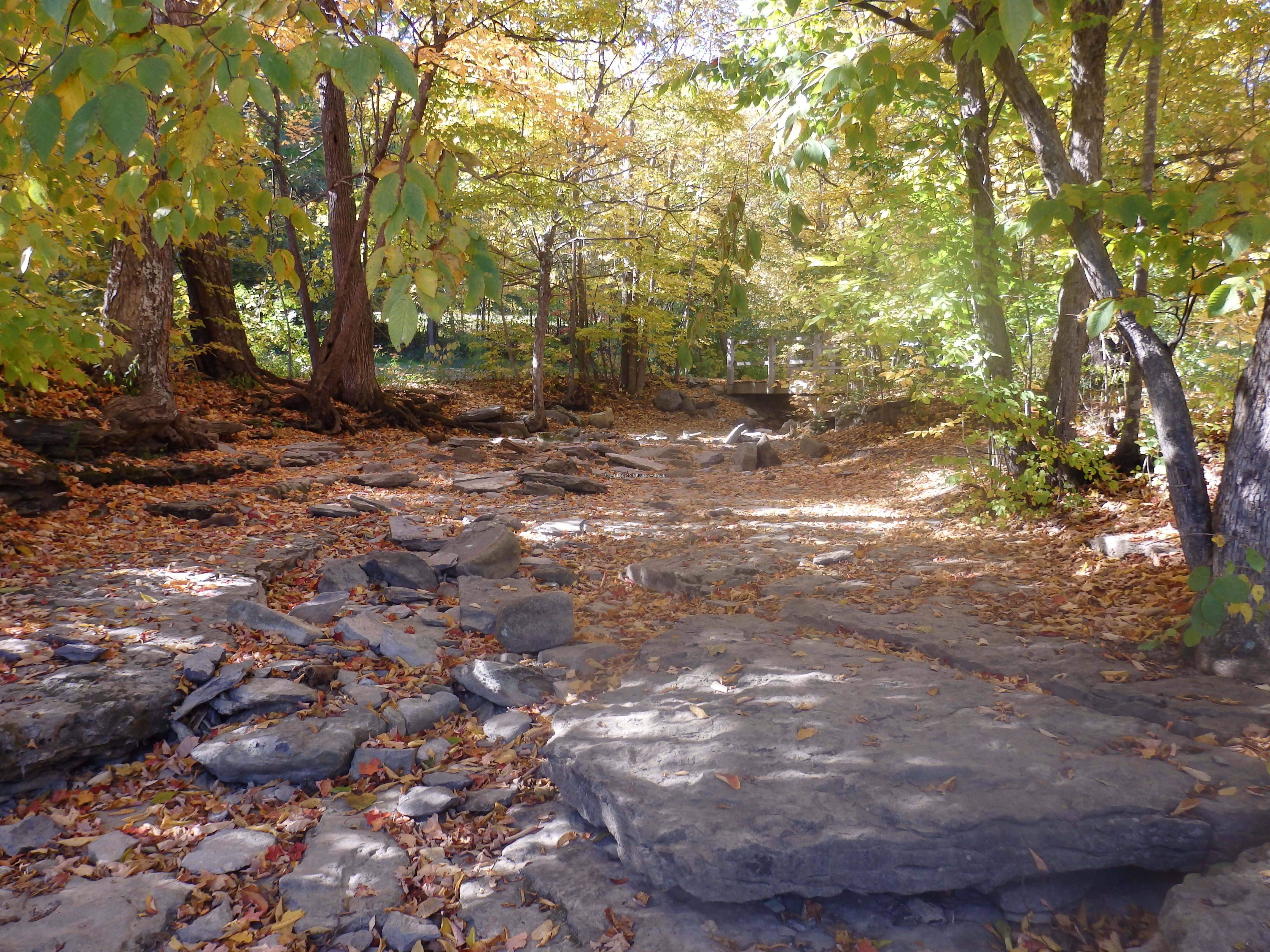
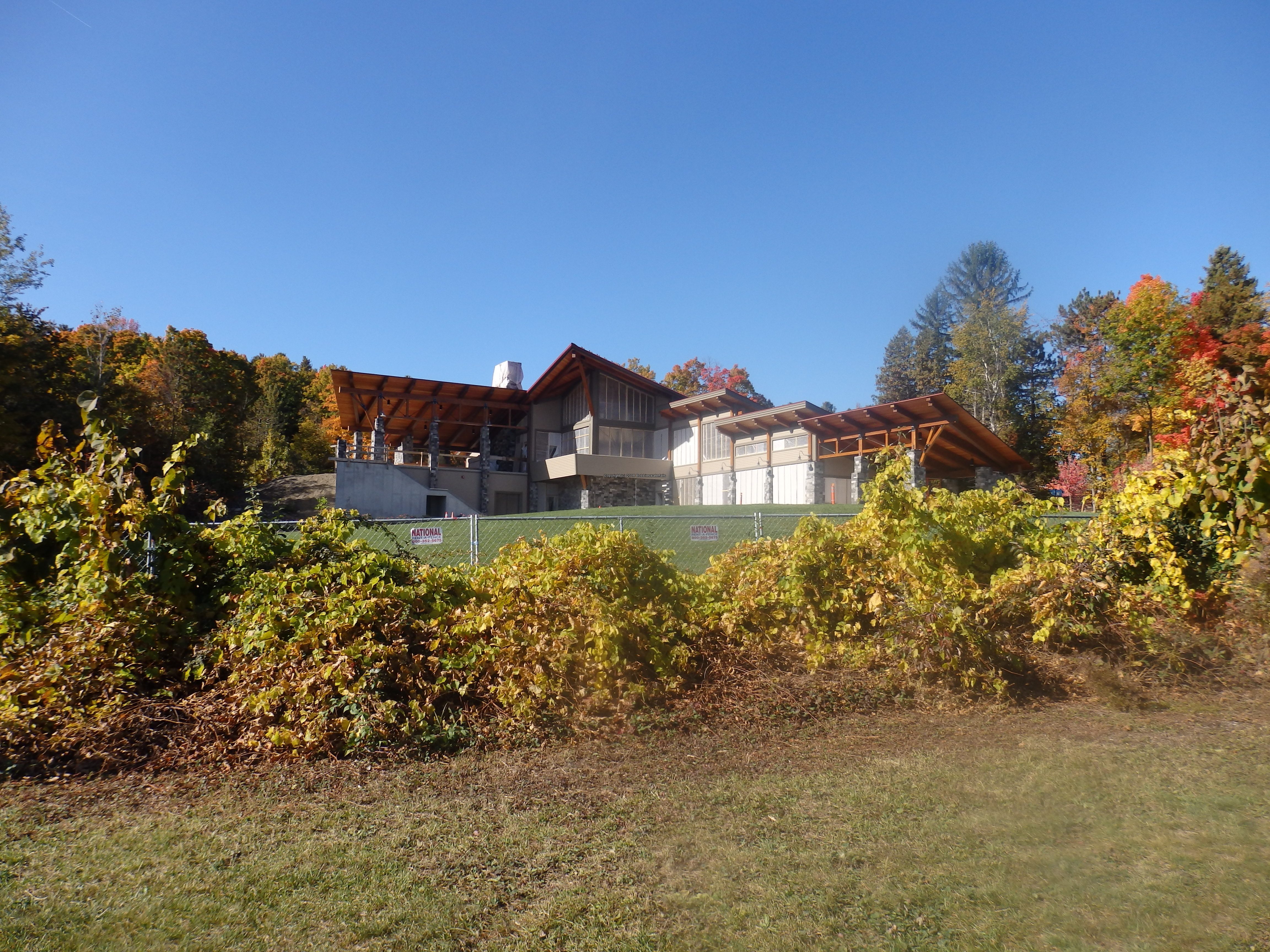
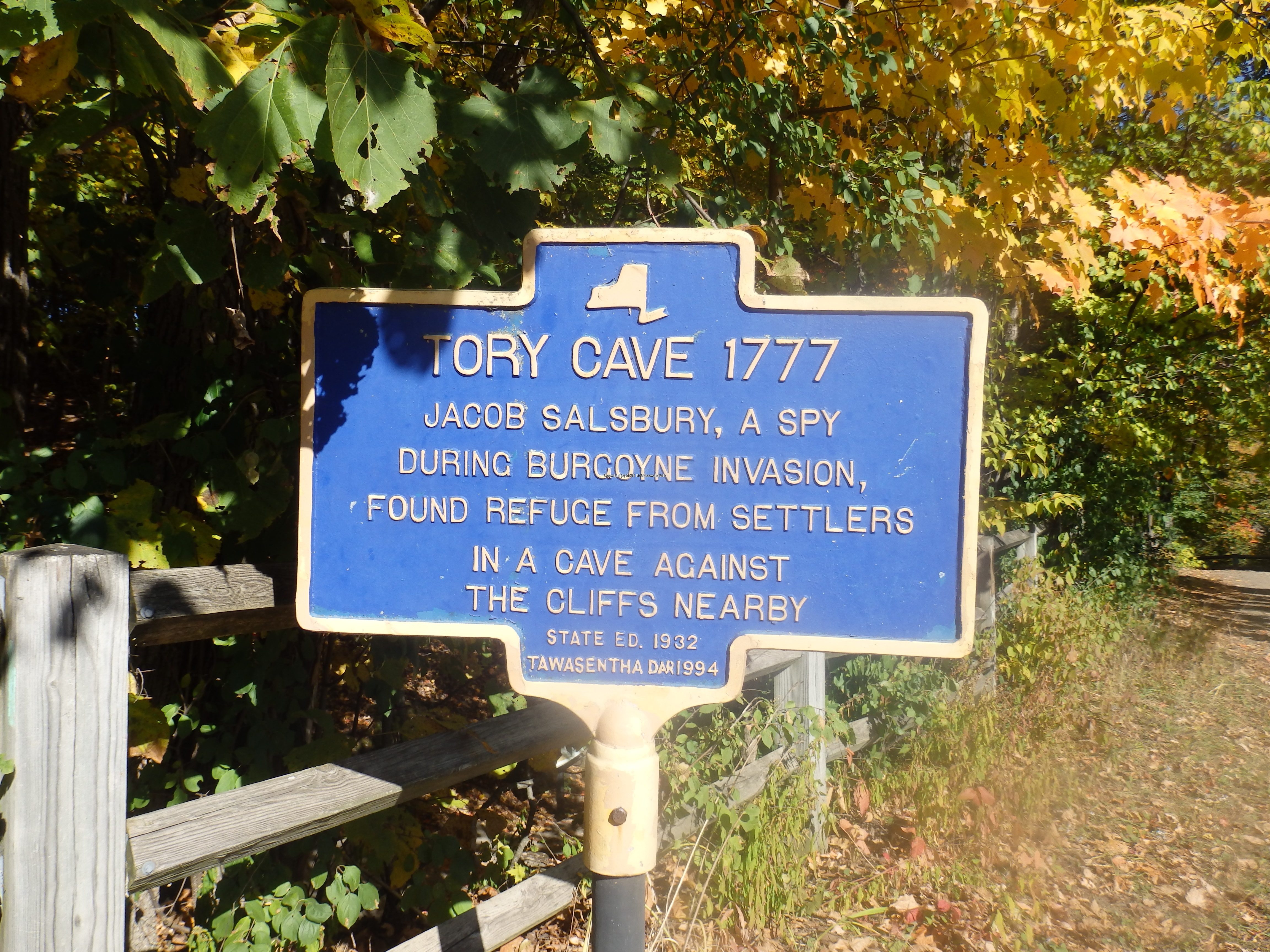
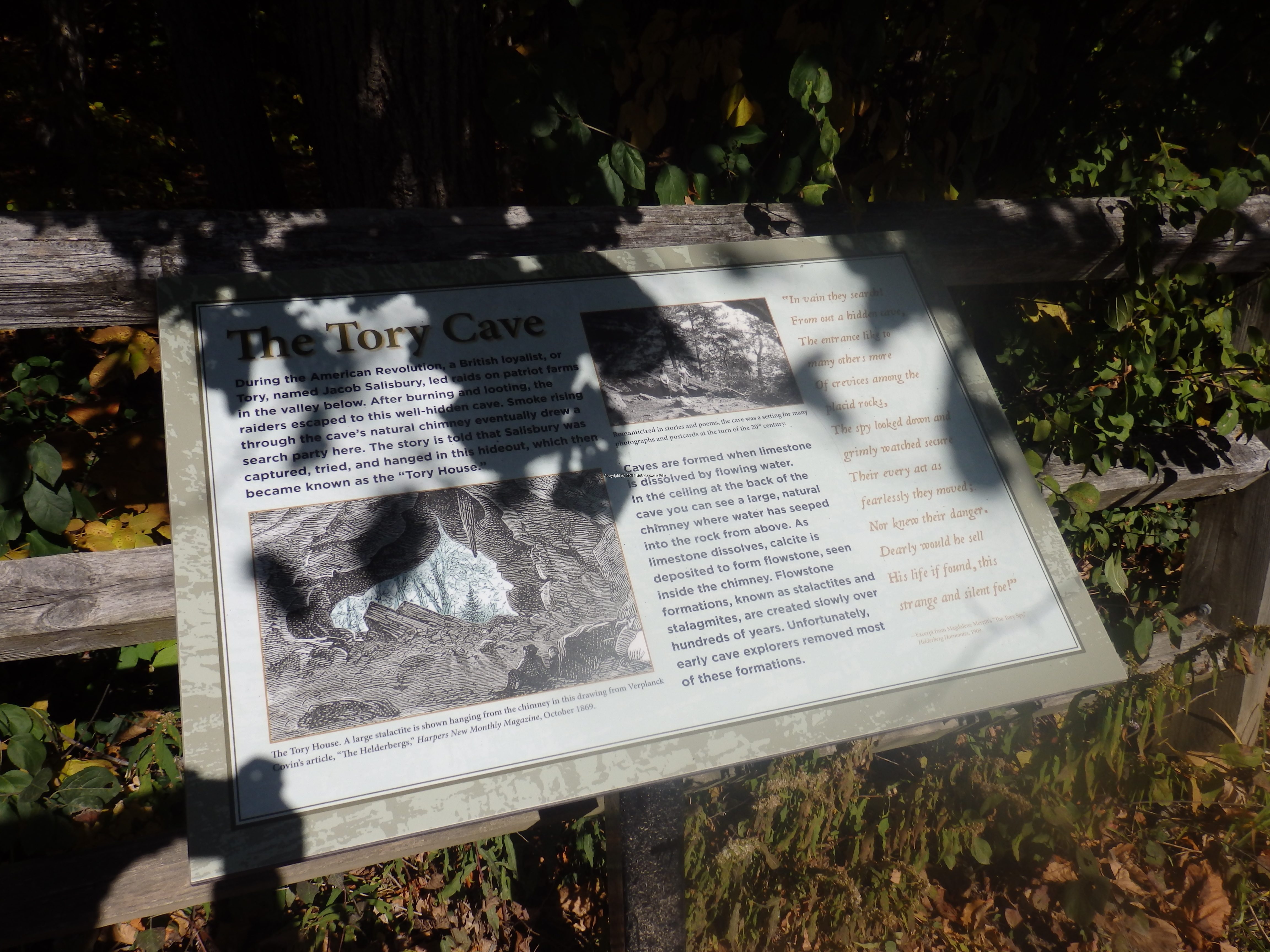
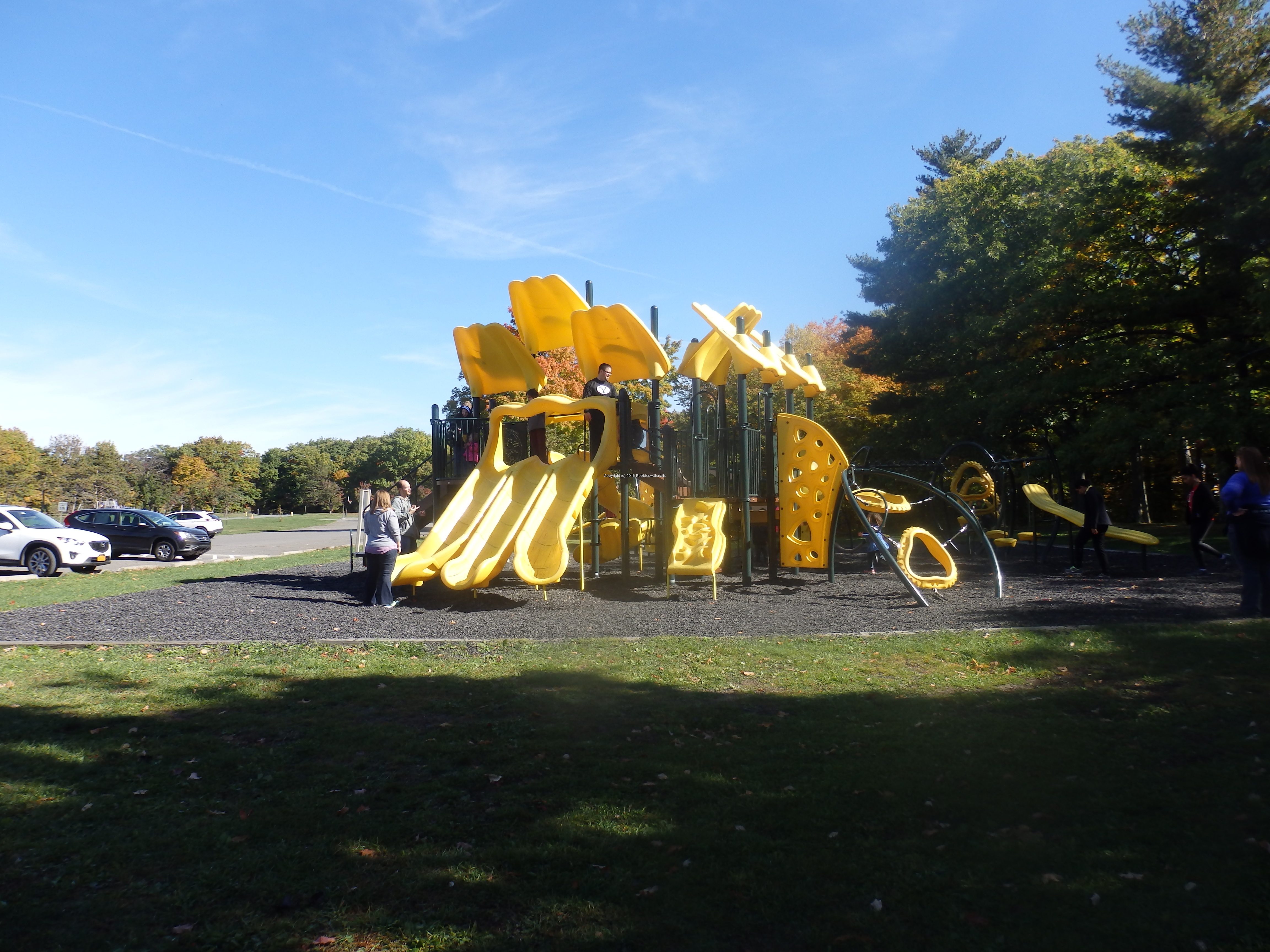
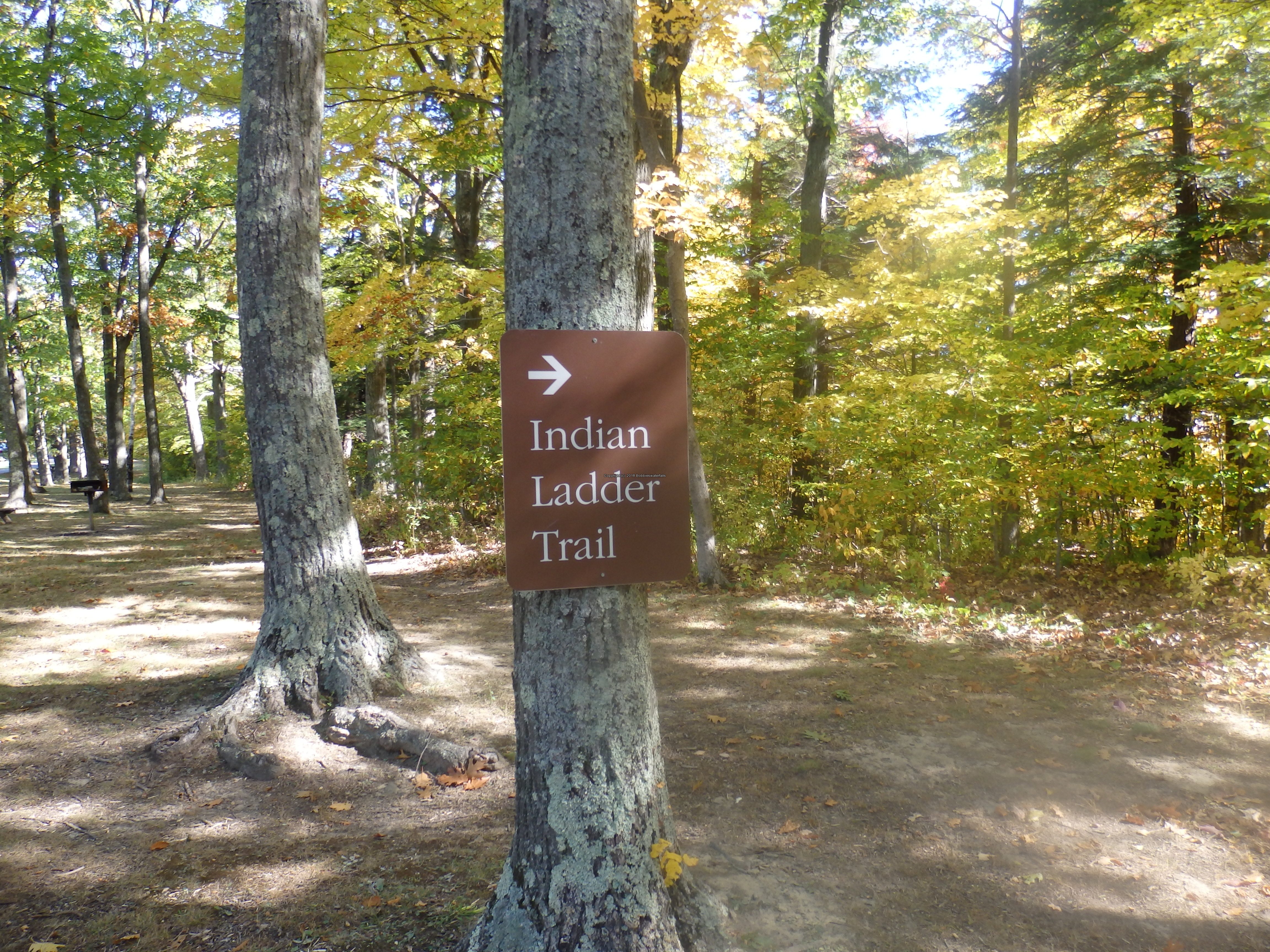
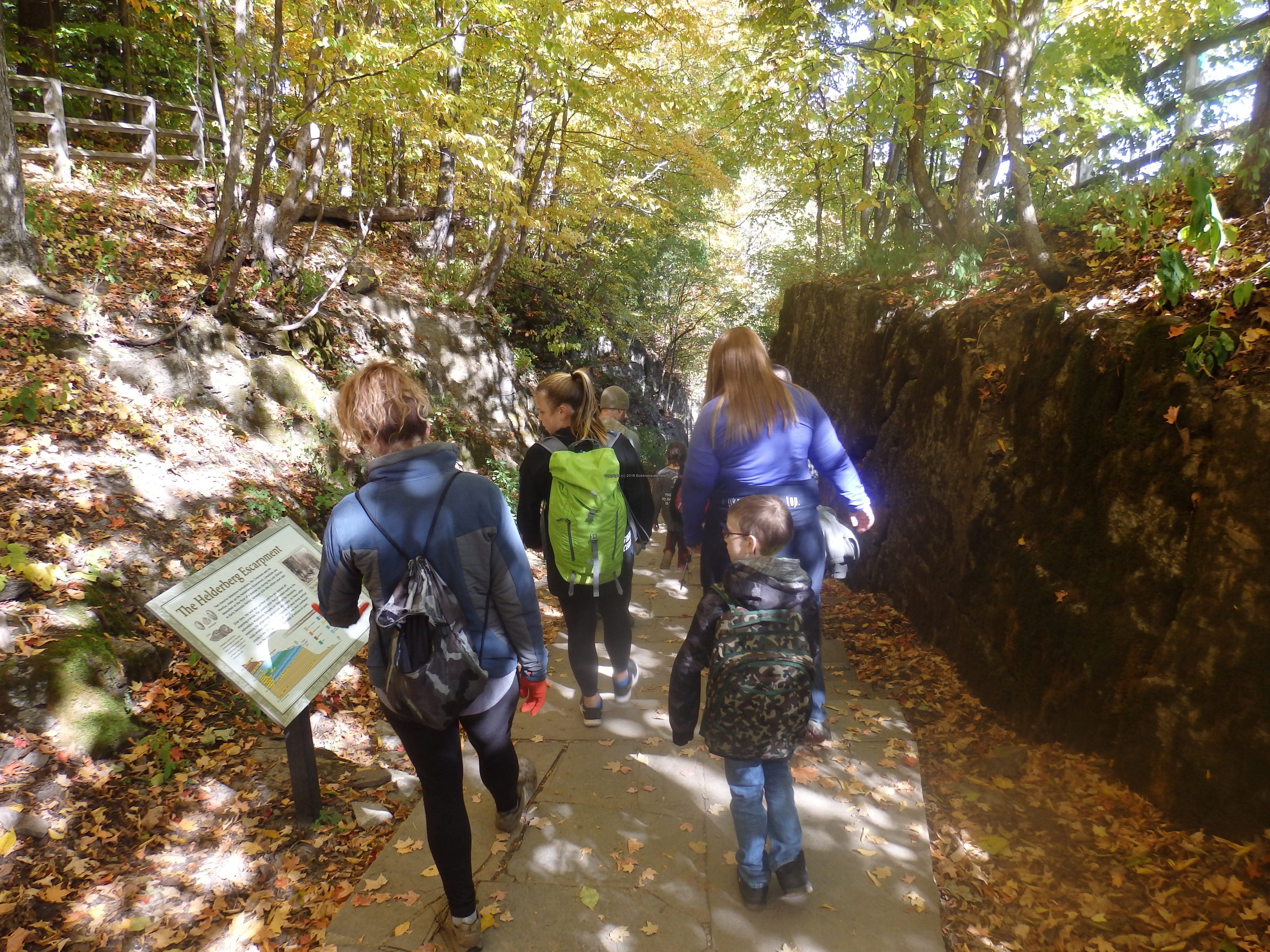
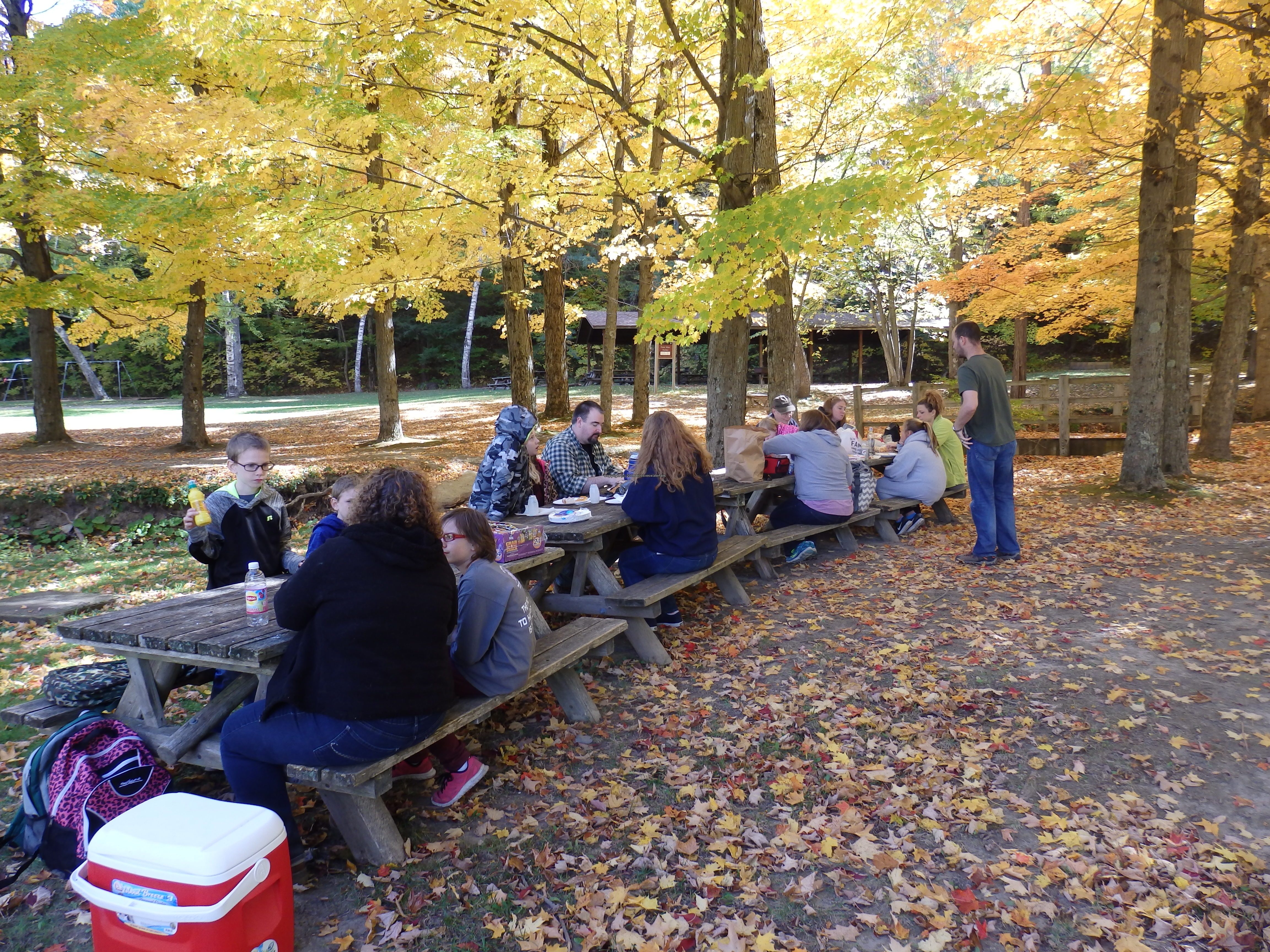
John Boyd Thacher Park additional photos














Map_URL:
