Stream, River: Raquette River
Height, Type: 10ft,Cascade Rapids
Elevation: 1600 ft
Level of Difficulty, Hiking Distance: Moderate 9 Miles Roundtrip
Whitewater Rte, Canoe Rte Map: ————-
Maps: Park Map High Peaks Region
My Resource: Eastern New York all outdoors Atlas and Field Guide Publication 2008,C1,pg102
Book Resource: Adirondack Waterfall Guide “New York’s Cool Cascades” By Russell Dunn 2004
Brochures, Travel Guides, Visitor Guides: Adirondack Great Walks & Day Hikes A Guide to paths less taken in the Northeast’s last great wilderness
Trail_URL: ————-
Additional Information: ————-
Photos, Information Contributed to other Websites: Dig the Falls, Northern New York Waterfalls
Landmark: Interior Outpost Dec
Nearest Intersection: Rte 3 Coreys Rd and Raquette Falls Trail Rd
Directions: From the intersection of Hwy and Hwy 3 in Saranac Lake, Take Hwy 3 southeast for 2.4 miles. Bear right onto Coreys Rd and drive .2 miles. Turn right onto Coreys Rd and continue 2.6 miles to Raquette Falls Parking area.
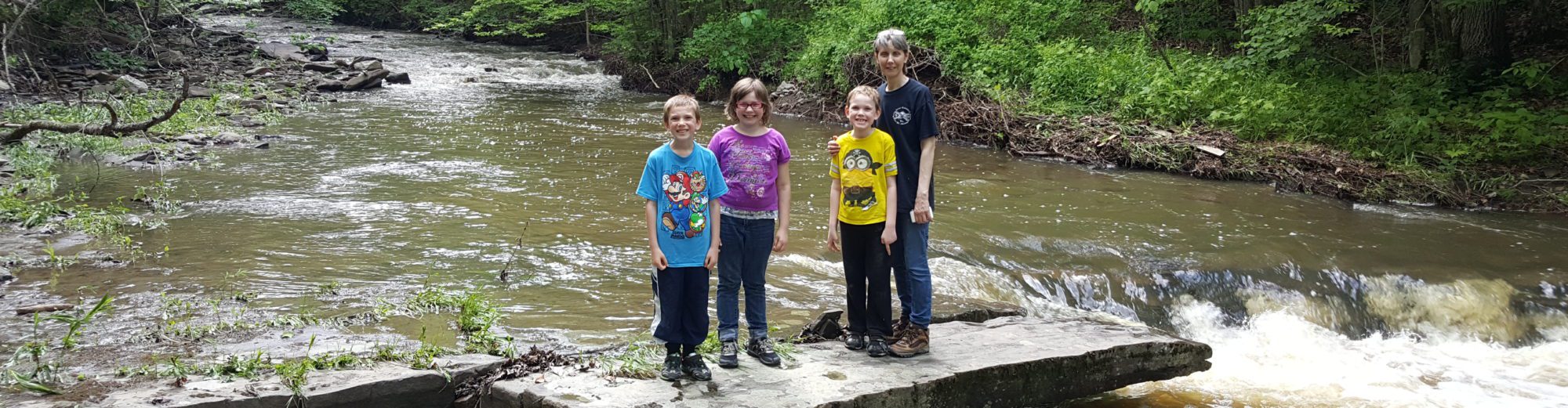
Comments, Notes: I have included the entire hike down to where the put in and take out is at the south end of the trail. So therefore I have included the falls that I had seen there. I plan to return to this location again.
Original content here is published under these license terms:
X
License Type:
General Public License
License Abstract:
The GNU General Public License is a free, copyleft license for software and other kinds of works. You may re-publish the content (modified or unmodified) providing the re-publication is itself under the terms of the GPL.