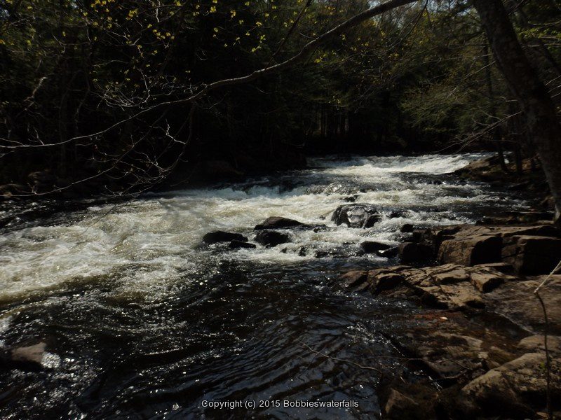
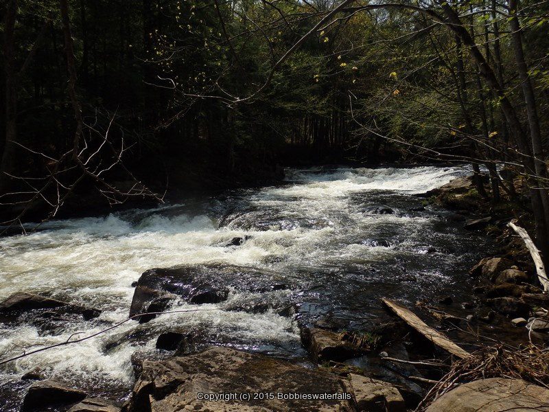
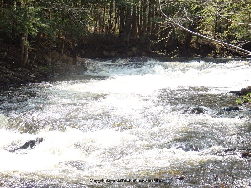
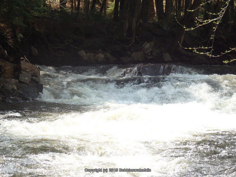
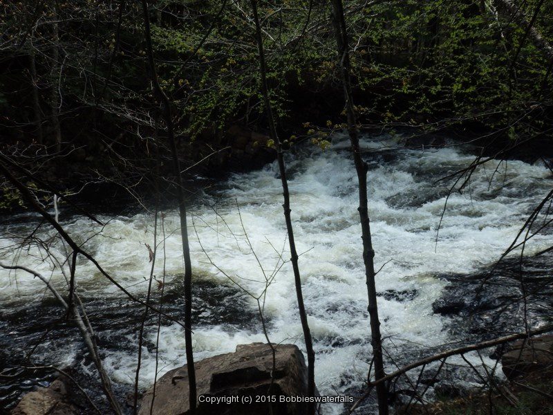
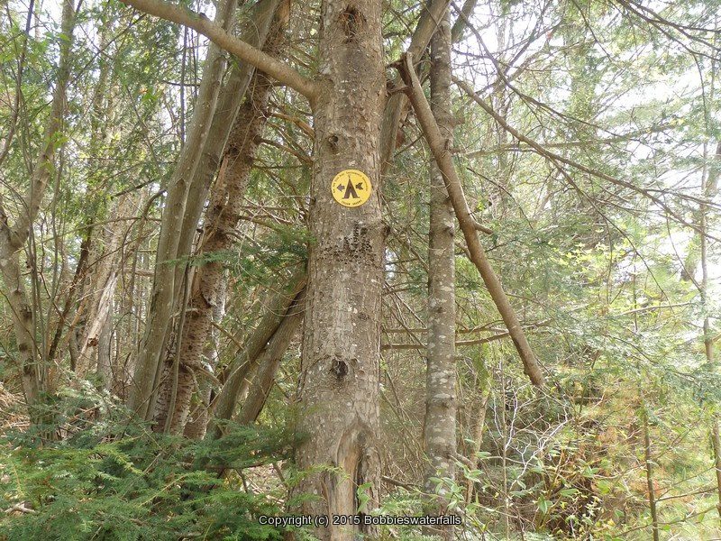
Stream, River: Fly Creek
Height, Type: ————-
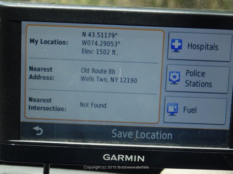
Elevation: 1502 ft
Level of Difficulty, Hiking Distance: ————-
Whitewater Rte, Canoe Rte Map: ————-
Maps: ————-
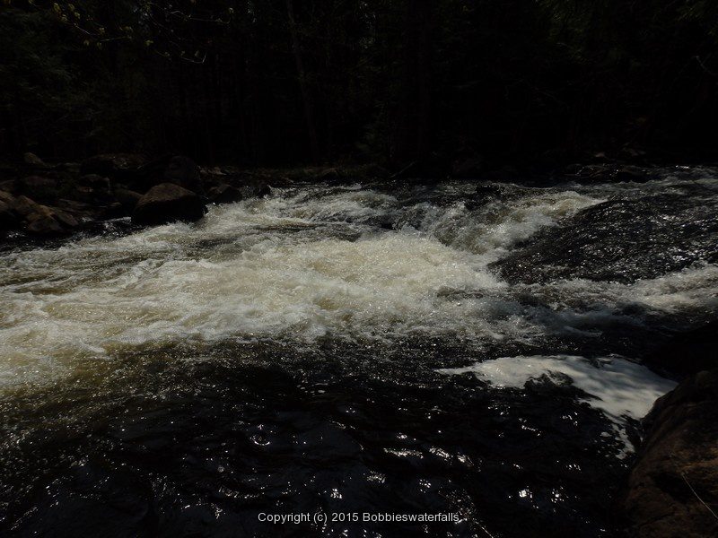
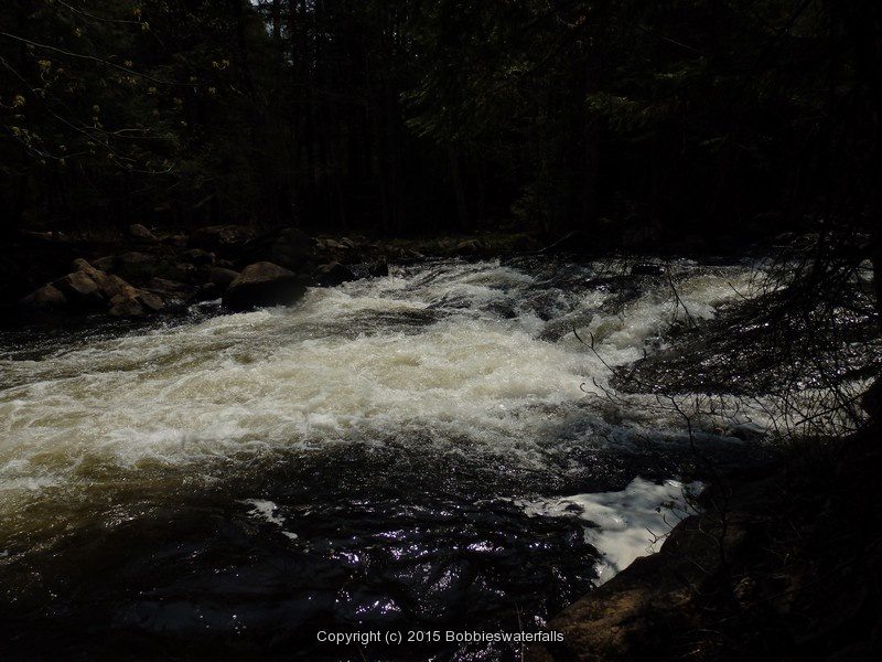
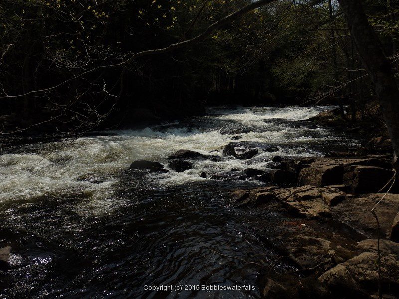
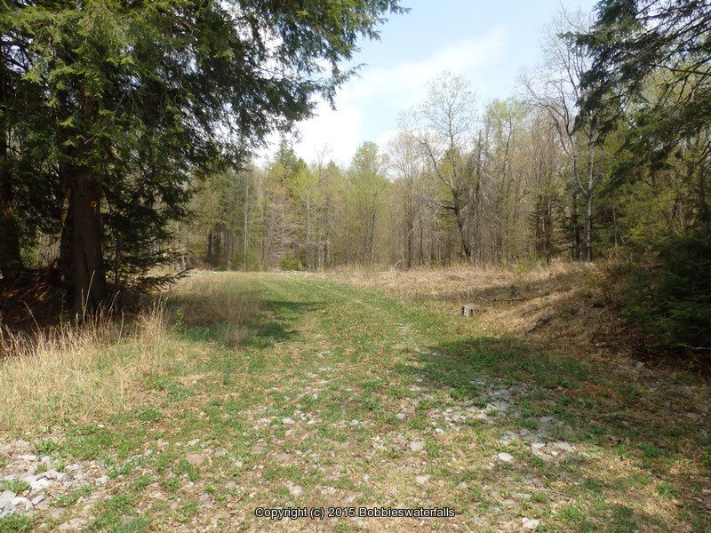
My Resource: We were checking this area out.
Book Resource: ————-
Brochures, Travel Guides, Visitor Guides: ————-
Trail_URL: ————-
Additional Information: ————-
Photos, Information Contributed to other Websites: ————-
Landmark: ————-
Nearest Intersection: Hwy 8 and Old Rte 8b
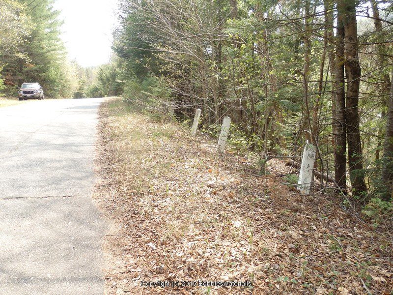
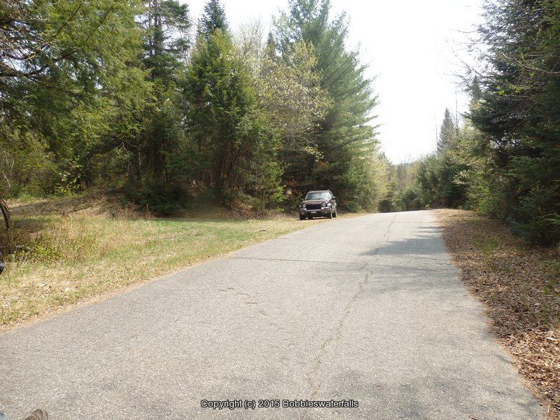
Directions: From the intersection of Hwy 8 and Hwy 30 and Elm Lake Rd in Speculator, take Hwy 30 southeast for 3.2 miles. Turn left onto Old State Route 8b and drive .9 miles.
Comments, Notes: This section is located between where robbs creek and fly creek flows into the sacandaga river. We were parked right where there is a dec campsite.
Original content here is published under these license terms:
X
License Type:
General Public License
License Abstract:
The GNU General Public License is a free, copyleft license for software and other kinds of works. You may re-publish the content (modified or unmodified) providing the re-publication is itself under the terms of the GPL.