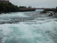
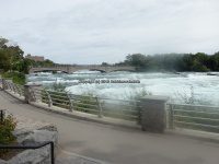
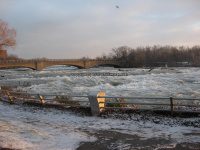
Waterfall Name: American Rapids, Niagara Falls
Aka: Niagara Rapids
Location: Niagara Falls
First Visit: 07-01-1984
State: New York State
Region: Western Region
County: Niagara County
Park Area: Niagara Falls State Park
NYS Tourism Region: Niagara Frontier
NYDEC Region: Western New York
Waterfall Challenge: ————-
Waterfall Location: N43.084326 W79.067140
Parking: N43.0809589 W79.0715268
Trailhead: N43.081949 W79.066864
Trail Name, Reference to: Parking Lot 2, Niagara Falls Overlook
Stream, River: Niagara River
Height, Type: 7ft,Rapids
Elevation: 550 ft
Level of Difficulty, Hiking Distance: Short
Whitewater Rte, Canoe Rte Map: ————-
Maps: ————-
My Resource: 200 Waterfalls In Central And Western New York By Rich And Sue Freeman
Book Resource: 200 Waterfalls In Central And Western New York By Rich And Sue Freeman
Brochures, Travel Guides, Visitor Guides: https://www.niagarafallsstatepark.com/plan-your-trip/maps-and-directions
Trail_URL: ————-
Additional Information: http://www.niagarafrontier.com/islands.html
Photos, Information Contributed to other Websites: Dig the Falls
Landmark: American Rapids Bridge
Nearest Intersection: Goat Island Rd and 1st Street
Directions: From I-90 W in Buffalo, Take exit 50 to the right onto I-290 towards Niagara Falls and drive for 3.8 miles. Continue on I-290 W towards Thru Traffic and drive for 6.1 miles. Take the I-190 N ramp to the right towards Niagara Falls and drive for 7.8 miles. Take exit 21 to the right onto Rt-384/R. Moses Pkwy/Buffalo Ave for 494 ft. Take the R. Moses Pkwy ramp to the right towards State Park/American Falls for 235 ft. Continue on Robert Moses State Pkwy N ramp and drive for 3.2 miles. Continue towards New York/State Park/American Falls for 293 ft. Keep left onto Park Entrance and drive for .8 miles. Turn right onto Buffalo Ave for 339 ft. Turn right onto American Rapids Brg and drive for .6 miles. Bear left onto Rd and drive for .2 miles.
Comments, Notes: ————-
————-


