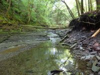
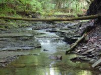
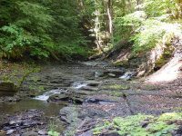
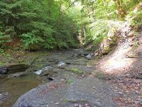
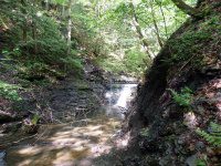
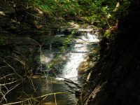
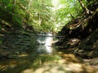
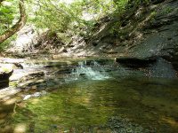
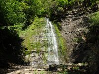
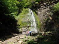
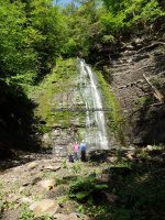
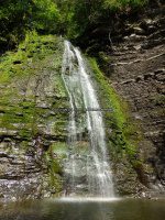
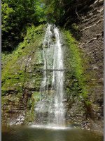
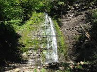
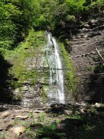
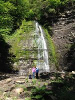
Ohisa Creek – 3 Main Waterfalls
AKA: |
—– |
Location: |
Stark Twn |
First Visit: |
5/30/2016 |
Region: |
Central |
County: |
Herkimer |
Park/Area: |
—– |
Gps of Falls: |
—– |
Gps of Parking: |
N42.94244 W74.82590 |
Gps of Trailhead: |
—– |
Trail Name/Reference to: |
—– |
Landmark: |
There is a gate, and enough room for maybe 2 cars to park. |
Stream/River/Watershed: |
Ohisa Creek |
Height of Falls/Type: |
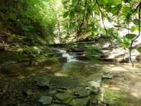
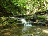
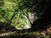
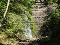
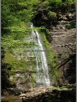
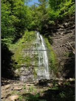
15 ft, 10 ft, 80 ft, Cascades, Ledges, Slides, Freefall |
Elevation: |
881 ft to 1293 ft |
Level of Difficulty/Hiking Distance: |
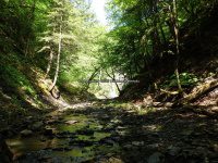
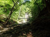
This is a moderate to difficult hike. Give yourself at least 2 hours. You will be walking the stream bed most completely all the way. Use caution as it is slippery and dangerous in spots. |
Wikiloc: |
—– |
Whitewater Rte/Canoe Rte Map: |
—– |
Maps: |
—– |
Trails Websites: |
—– |
My Resource: |
|
Book Resource: |
—– |
Brochures/Travel Guides/Visitor Guides: |
—– |
Additional Information: |
—– |
Photos And Information I Contributed To or Posted To Other Websites: |
—– |
Nearest Intersection: |
Hwy 168 and Fiery Hill Rd and Cramers Cors Rd |
Directions: |
From the intersection of Hwy 5 and Hwy 167, in Little Falls, Get on Hwy 167 and drive south for 2.0 miles. Bear left onto Hwy 167. Turn left onto Hwy 5s. Turn right onto Hwy 167 and drive for 2.2 miles. Keep left onto Newville Rd and drive for 0.2 miles. Bear left onto Newville Rd and drive for 1.8 miles. Turn right onto Newville Rd and drive for 0.3 miles. Turn right onto Johnny Cake Rd and drive for 1.0 miles. Turn left onto Travis Rd and drive for 1.7 miles. Turn left onto Hwy 168 and drive for 1.6 miles. |
Comments/Notes: |
From the gate by the roadside, you will see a worn path to the left that leads straight down to the creek bed. Follow the creek up until its end at the 80 ft waterfall. Keep in mind that electronic devices, cell phones, satellite may not work. Ours did not, even wikiloc did not track!! |

