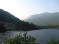
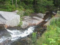
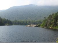
Beaver Pond Dam
Waterfall Name: Beaver Pond Dam
AKA: Beaver Brook Cascades
County: Grafton
Location: Woodstock
County Park State Park State Lands State Forest: White Mountain National Forest
Dates Visited: 7/29/2009
Gps Of Falls: N44.04505 W71.79282
Gps Of Parking: N44.04528 W71.79265
Stream River: Beaver Brook
Height of Falls:
Elevation: 1820 ft
Type of Waterfall: Dam and Falls
Level Of Difficulty Hiking Distance: Short
Book and Internet Resource Used: New England Waterfalls “A Guide to More Than 200 Cascades and Waterfalls” by Greg Parsons & Kate B. Watson 2003
Additional Information Can Be Found On The Following Websites or Publications: Beaver Brook Cascades
Landmark: .8 miles west of Lost River Gorge & Boulder Caves
Closet Intersection: Hwy 112 and Hwy 118
Directions: From the Intersection of US 3 and Hwy 112, in Woodstock Town, Get on Lost River Rd and drive west for 6.4 miles. Beaver Pond Dam Parking
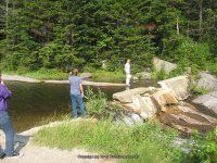
Comments Notes: At the time we were here, we had no idea that we were so very close to the actual waterfall. We were camping down the road and stopped here for morning fishing.


