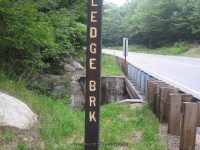
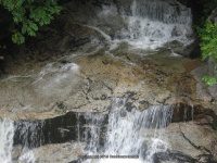
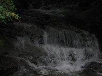
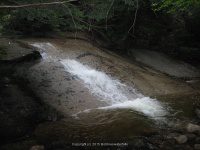
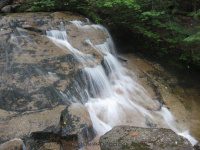
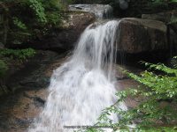
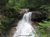
Ledge Brook Falls
County Park State Park State Lands State Forest: White Mountain National Forest
Gps Of Falls: N44.01441 W71.42670
Stream River: Ledge Brook
Level Of Difficulty Hiking Distance: Short
Book and Internet Resource Used: driveby
Landmark: Approx. .2 miles west of Sugar Hill Overlook
Directions: From the Intersection of US 3 and Hwy 112, in Woodstock Town, Get on Kancamagus Hwy and drive east for 18.2 miles. Ledge Brook Falls
Comments Notes:
Ledge Brook Falls 7-29-2009
LEDGE BROOK FALLS CARROLL NH 7-29-2009_00001.JPG (Bobbie Sweeting)
LEDGE BROOK FALLS CARROLL NH 7-29-2009_00002.JPG (Bobbie Sweeting)
LEDGE BROOK FALLS CARROLL NH 7-29-2009_00003.JPG (Bobbie Sweeting)
LEDGE BROOK FALLS CARROLL NH 7-29-2009_00004.JPG (Bobbie Sweeting)
LEDGE BROOK FALLS CARROLL NH 7-29-2009_00005.JPG (Bobbie Sweeting)
LEDGE BROOK FALLS CARROLL NH 7-29-2009_00006.JPG (Bobbie Sweeting)
LEDGE BROOK FALLS CARROLL NH 7-29-2009_00007.JPG (Bobbie Sweeting)
LEDGE BROOK FALLS CARROLL NH 7-29-2009_00008.JPG (Bobbie Sweeting)
LEDGE BROOK FALLS CARROLL NH 7-29-2009_00009.JPG (Bobbie Sweeting)
LEDGE BROOK FALLS CARROLL NH 7-29-2009_00010.JPG (Bobbie Sweeting)
LEDGE BROOK FALLS CARROLL NH 7-29-2009_00011.JPG (Bobbie Sweeting)
LEDGE BROOK FALLS, CARROLL COUNTY, NEW HAMPSHIRE 7-29-2009
Original content here is published under these license terms: X License Type: General Public License License Abstract: The GNU General Public License is a free, copyleft license for software and other kinds of works. You may re-publish the content (modified or unmodified) providing the re-publication is itself under the terms of the GPL. License URL: http://www.gnu.org/licenses/gpl.html
Like this: Like Loading...


