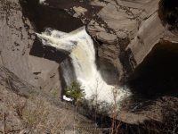
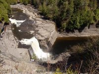
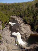
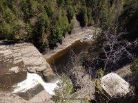
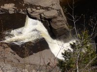
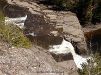
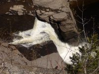
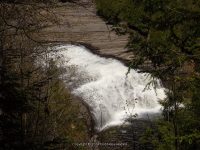
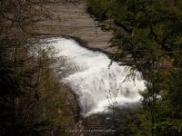
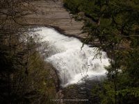
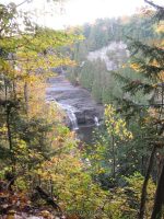
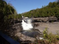
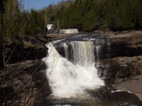
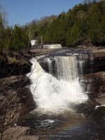
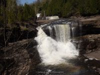
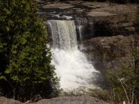
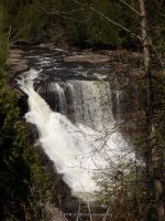
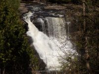
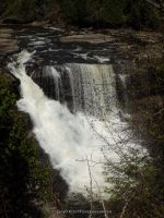
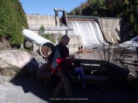
Trenton Falls Scenic Trail 2017 Spring and Fall Dates
Trenton Falls Scenic Trail 2017 Spring and Fall Dates
Trenton Falls Scenic Trail 2017 Spring and Fall Dates
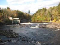
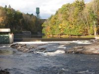
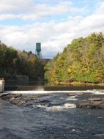
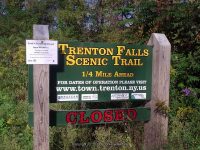
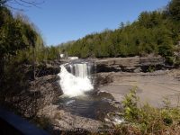
I almost forgot to check in with this years open dates!
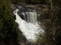
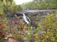
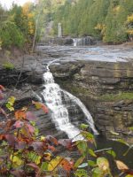
Saturday and Sunday May 6th and 7th from 9am to 5pm
http://town.trenton.ny.us/content/News/View/429
What is going on with the World and Waterfalls? 4-27-2017
What is going on with the World and Waterfalls?
How many folks out there has starting their road trips and waterfalls? Any new adventures to share? So many places, so many destinations, and so many adventures! I see the whitewater folks heading into full action.
One of my Favorite photos from the Moose River
So whats been going on with Bobbie and Bobbieswaterfalls? Whats been going on with Digthefalls and the New York State Waterfall Collation? We have been down right busy working behind the scenes. Getting waterfall locations and information updated and available to the public. Our Team members are already out there hitting the roads for this new season. I soon hope to be getting out there myself.
Please continue to check back often, as I continue with my work on the revamp of the website. I have updated several counties, and several more to go. New pages are also being done on Digthefalls, be sure to check out the new features offered there as well.
Please help show your support by visiting our Digthefalls Shop
Have a great weekend!
Tenant Creek Falls, Hamilton County, New York 3-17-2017
Tenant Creek Falls, Hamilton County, New York 3-17-2017
Tenant Creek Falls, Hamilton County, New York 3-17-2017
Tenant Creek Falls, (also known as Hope Falls for some), has a new trail in place. I did not have knowledge of this new trail map and wanted to share this with the public. There are three waterfalls here.
http://www.dec.ny.gov/docs/lands_forests_pdf/maptenantfall.pdf
Waterfall Adventures, Russell Dunn
Waterfall Adventures, Russell Dunn
Waterfall Adventures, Russell Dunn

Creating Your Own Adventure by Russell Dunn In the Spring 1997 issue of Kaatskill Life (a quarterly magazine devoted to the Catskills), I wrote an article entitled “Hunting for Waterfalls.” Little has changed since that piece was written. People still love to get out and hike to waterfalls. As it turns out, there are way…
Bobbieswaterfalls, Improvements 2-19-2017
Bobbieswaterfalls, Improvements 2-19-2017
Bobbieswaterfalls, Improvements 2-19-2017
Just an update! I am still working on a lot of background improvements and changes to the website. At times there will be locations, or sections, that are unavailable. I have learned so much in the past few weeks, regarding pages, posts etc. Background work is more than I ever thought. The steps it takes to set up a proper working website that until now never understood their functions. So, hang in there, check back often. Thanks for all you patience as I work through it all.
My son sent me more Japan pics!!
My son sent me more Japan pics!!
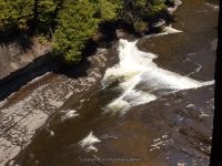
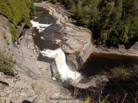
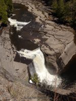
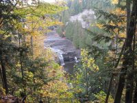
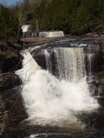
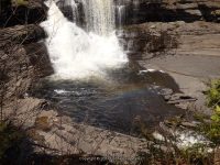
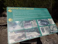
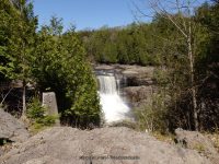
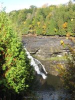
Trenton Falls Scenic Trail (10 Named Waterfalls)
Trenton Falls Scenic Trail (10 Named Waterfalls)
Oneida County, Trenton Twn/Russia Twn
Date Visited: 10-7-2006 10-7-2012 5-11-2014 3-27-2016
Stream or River: West Canada Creek flows into the Mohawk River
Resources Used:
http://www.mcz.harvard.edu/Departments/InvertPaleo/Trenton/Intro/HistoryPage/Social%20History/initdiscovery.htm
http://www.mcz.harvard.edu/Departments/InvertPaleo/Trenton/Intro/HistoryPage/Social%20History/earlysettlement.htm
http://town.trenton.ny.us/content/Parks/View/4
http://town.trenton.ny.us/content/History
http://www.mcz.harvard.edu/Departments/InvertPaleo/Trenton/Intro/HistoryPage/Social%20History/initdiscovery.htm
More information can be found on the trenton falls scenic trail website. This Is Open Two Times A Year. Check Their Website For Dates. Flood of 2006 http://town.trenton.ny.us/content/Generic/View/3
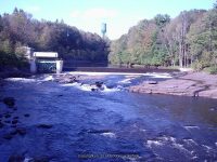
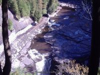
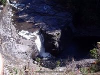
Waterfalls in order: Morgan Dam (Village Falls), Sherman Falls, Potash Kettle and the Narrows ( Cascades Of The Alhambra), Lower High Falls, Upper High Falls, Mill Dam Falls (Upper Falls Or Squires Falls), and Hydro Dam and Falls.
Directions:
From I-90, in Utica, Take exit 31 to the right towards I-790/Rt-8/Rt-12/Utica and drive for .8 miles. Take the Genesee Street North ramp to the right towards Rt-5/Rt-8/Rt-12/Rt-49/I-790 W/Watertown/Rome and drive for .4 miles. Keep left onto Trenton Road and drive for 1.6 miles. Continue on Cr-91 N towards Rt-12/Glass Factory Road and drive for .3 miles. Take the Rt-8 N/Rt-12 N ramp to the right and drive for 8.9 miles. Turn right onto Highway 28 and drive for .8 miles. Keep left onto Trenton Falls Road and drive for 1.2 miles, which takes you to the parking area.
Parking area: Trenton Falls Rd N43.27489 W75.15850
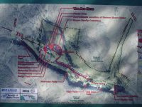
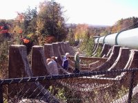
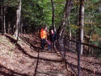
The Primary trail (stone dust) is approximately 1 mile long. The secondary trails (wood mulch) follows along the gorge.
Listed in the order which the waterfalls will be seen:
Morgan Dam at Trenton Falls Aka Village Falls
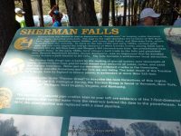
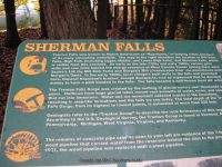
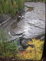
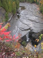
Sherman Falls at Trenton Falls
Below Sherman Falls
Potash Kettle and the Narrows at Trenton Falls Aka Cascades Of The Alhambra
Section above Sherman Falls
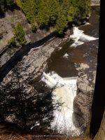
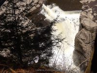
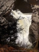
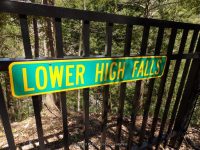
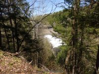
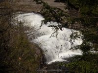
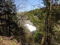
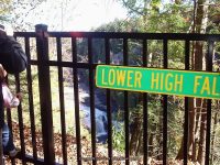
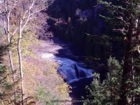
Lower High Falls at Trenton Falls
Upper High Falls at Trenton Falls
The current trail stops here, back in 2006 I was thankful I had the opportunity to go to its end.
Mill Dam Falls At Trenton Falls Aka Upper Falls Or Squires Falls
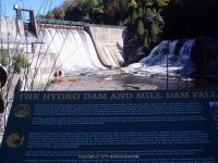
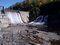
Hydro Dam Falls At Trenton Falls
I am still trying to narrow down exactly what section or falls the following are referred to historical.
Bridal Veil Falls at Trenton Falls
Suydam Falls at Trenton Falls
Frenchville Gorge – 6 Waterfalls and small cascades
Frenchville Gorge – 6 Waterfalls and small cascades
AKA: |
Frenchville Gorge Waterfalls |
Location: |
Western Twn |
First Visit: |
10/11/2015 |
Region: |
Central |
County: |
Oneida |
Park/Area: |
Click on Links for individual pages |
Gps of Falls: |
Click on Links for individual pages |
Gps of Parking: |
Click on Links for individual pages |
Gps of Trailhead: |
—– |
Trail Name/Reference to: |
—– |
Landmark: |
—– |
Stream/River/Watershed: |
Click on Links for individual pages |
Height of Falls/Type: |
—– |
Elevation: |
—– |
Level of Difficulty/Hiking Distance: |
Roadside |
Wikiloc: |
—– |
Whitewater Rte/Canoe Rte Map: |
—– |
Maps: |
—– |
Trails Websites: |
—– |
My Resource: |
—– |
Book Resource: |
—– |
Brochures/Travel Guides/Visitor Guides: |
—– |
Additional Information: |
Click on Links for individual pages |
Photos And Information I Contributed To or Posted To Other Websites: |
Digthefalls |
Nearest Intersection: |
Hwy 274 and Long Shore Rd |
Directions: |
From I-90 W, in Westmoreland, Take exit 32 to the right towards Rt-233/Westmoreland/Rome and drive for .7 miles. Turn right onto Cider Street and drive for .1 miles. Turn right onto Highway 233 and drive for 5.7 miles. Take the Rt-49 W/Rt-69 W/Rt-365 W ramp to the left and drive for .4 miles. Take the Rt-49 W/Rt-69 W ramp to the right towards Rt-26 N/Rt-46/Downtown Rome and drive for 1.3 miles. Keep right onto Road and drive for 3.3 miles. Keep right onto Rome Westernville Road and drive for 7.2 miles. Turn right onto Highway 274 and drive for .2 miles. Stop 1 Wells Creek Parking (The falls will be on the right hand side of the road.) Continue on Highway 274 for .4 miles. Stop 2 Gifford Creek falls on aka Frenchville Gorge Parking (The falls will be on the right hand side of the road.) Continue on Highway 274 for .2 miles.Stop 3 Gulf Creek/Big Brook Parking (The falls will be on the right hand side of the road.) Continue on Highway 274 for .3 miles. Stop 4 Big Brook Parking (The falls are on both sides of the road.) Continue on Highway 274 for .3 miles. Stop 5 Big Brook Parking (The falls are on both sides of the road.) |
Comments/Notes: |
—– |
Big Brook Lower Section falls on
Moshier Upper Falls – 4 Named Waterfalls
Moshier Upper Falls (4 Named Waterfalls)
Moshier Upper Falls (4 Named Waterfalls)
Date Visited: 9-4-2016
Moshier Falls Section of the Beaver River Whitewater Route, Located in Lewis County, the Town of Watson, Adirondack Park
Stream or River: Beaver River flows into the Black River
Parking Areas:
Moshier Trailhead parking N43.87017 W75.13762
Moshier Road put in Parking only during whitewater events N43.88503 W75.10730
Points of Reference:
Moshier Reservoir Dam and Falls N43.88752 W75.10920 1640 ft
Trail entry N43.88385 W75.11946
Map at trailhead N43.87033 W75.13765 1492 ft
Photo Locations:
Photo location N43.88648 W75.11167, area where the put-in is
Photo location N43.88629 W75.11927
Photo location N43.88635 W75.11942
For further information please click on the highlighted links
Moshier Upper Falls #1 Put – in slide N43.88741 W75.10983
Moshier Upper Falls #3 First Falls N43.88630 W75.11907
Moshier Upper Falls #4 Second Falls N43.88694 W75.11994
Moshier Upper Falls #5 Mauser’s Faceplant N43.88776 W75.12259
Moshier Upper Falls #2 Unnamed Rapids N43.88637 W75.11403
Moshier Upper Falls #6 Unnamed Rapids N43.88363 W75.12810
Moshier Upper Falls #7 Unnamed Rapids N43.88225 W75.13001
Moshier Upper Falls #8 Unnamed Rapids N43.88007 W75.13170
I have recorded the tracks for the Moshier Upper Falls section and trail which can be viewed and downloaded, click on the following link.
Moshier Upper Falls


