Changes and Additions 10-22-2014
Changes and Additions 10-22-2014
I HAVE STARTED MAKING SOME CHANGES TO THE WEBSITE TO MAKE IT EASIER FOR BOTH THE READER AND MYSELF.
THE FIRST CHANGE IS NOW THERE IS A DROP DOWN ON THE NEW YORK STATES WATERFALL TAB THAT WILL ALLOW YOU TO GO DIRECTLY TO THE REGION YOU WISH TO NARROW DOWN ON. THIS I AM IN HOPES WILL MAKE IT A LITTLE EASIER FOR SCROLLING PURPOSES.
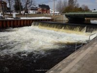
I HAVE PUBLISHED FILMORE GLEN STATE PARK WHICH IS LOCATED IN CAYUGA COUNTY, ALONG WITH AS MUCH DETAILED INFORMATION FROM MY POINT OF VIEW OF THE HIKE. THERE ARE PHOTOS BACK IN 2004 AND MY LATEST VISIT IN JUNE 2014.
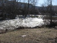
I HAVE ALSO PUBLISHED A DETAILED DESCRIPTION OF VAN HORNSVILLE FALLS AND TRAIL WHICH IS LOCATED IN HERKIMER COUNTY, AT THE OWEN D YOUNG SCHOOL. MY FIRST VISIT WAS BACK IN MARCH OF 2010, AND I REVISITED IN OCTOBER OF 2014.
| Original content here is published under these license terms: | X |
|
| License Type: | General Public License | |
|
| License Abstract: | The GNU General Public License is a free, copyleft license for software and other kinds of works. You may re-publish the content (modified or unmodified) providing the re-publication is itself under the terms of the GPL. |
|
| License URL: | http://www.gnu.org/licenses/gpl.html |
Like this:
Like Loading...