Strong Falls, Silver Cliff, Wisconsin

Waterfall Locations in Marienette County, Silver Cliff, Wisconsin 3-18-2016

Waterfall Locations in Marienette County, Silver Cliff, Wisconsin 3-18-2016

Waterfall Locations in Marienette County, Silver Cliff, Wisconsin 3-18-2016
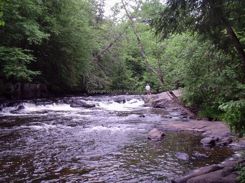
Mc Clintock Falls
Mcclintock County Park
Peshtigo River Rapids

Mcclintock Falls Marienette County WI 7-5-2007_00005.jpg


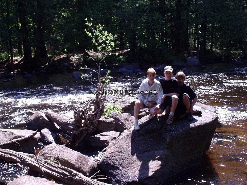
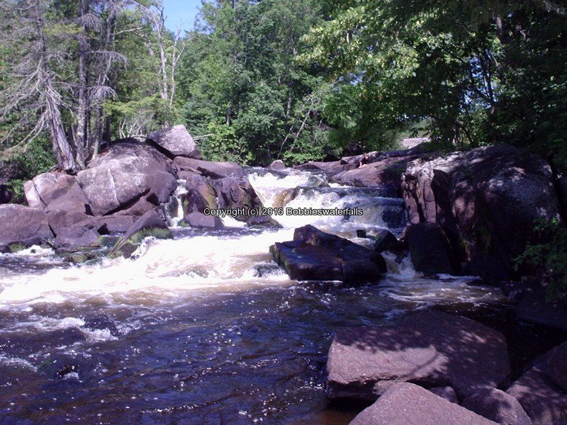
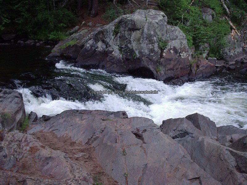
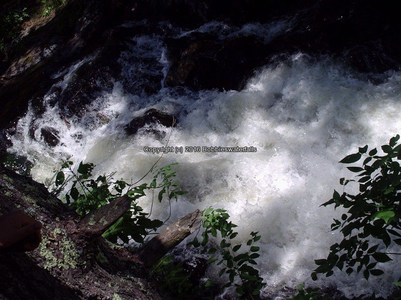
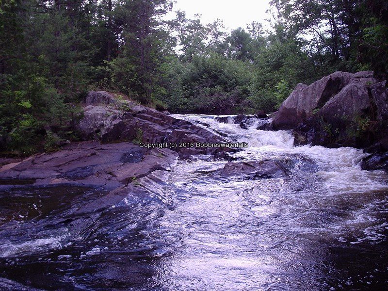
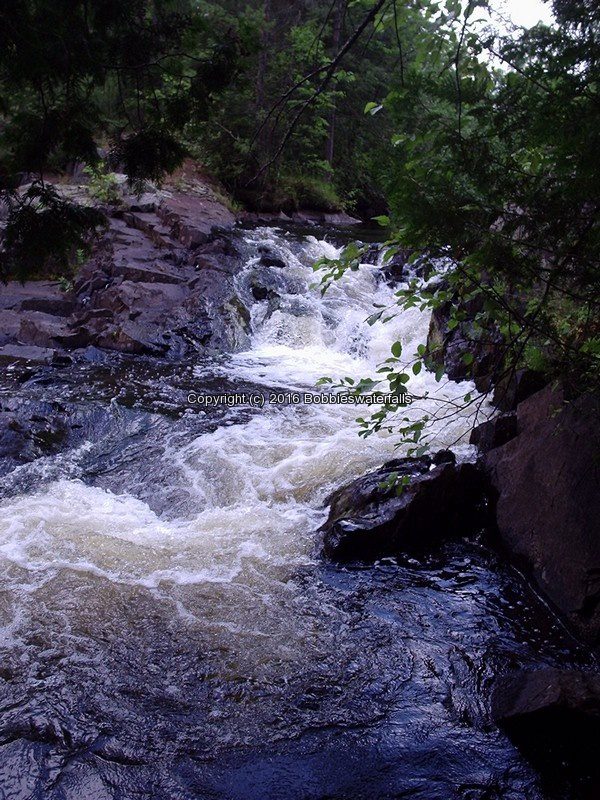
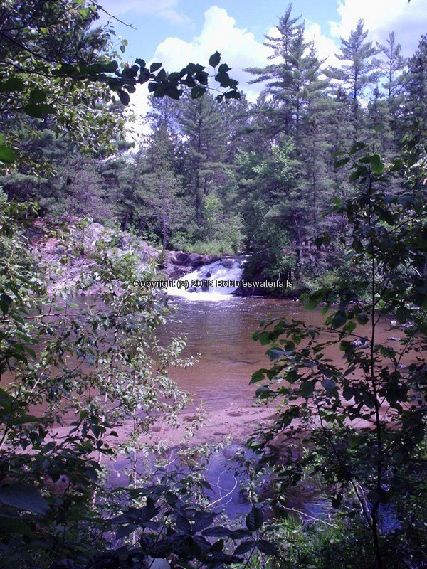
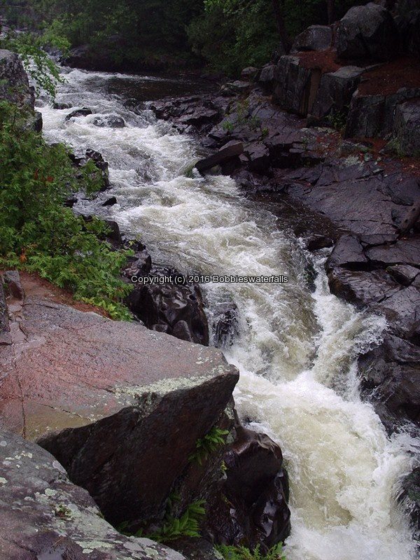
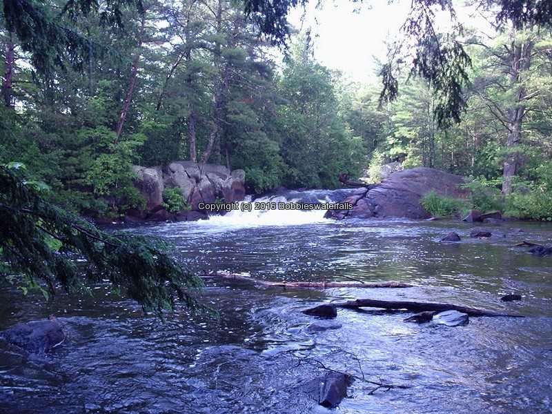
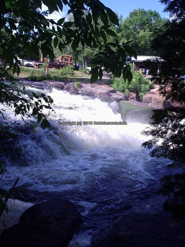
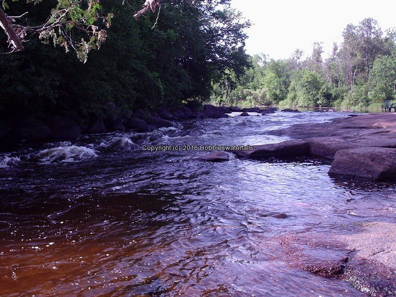
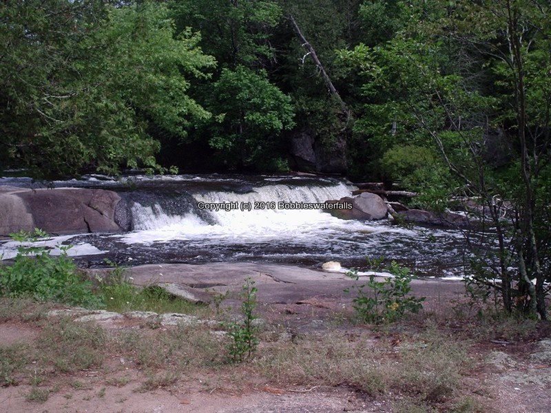
Strong Falls In Goodman Park
Goodman Park
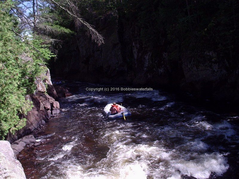
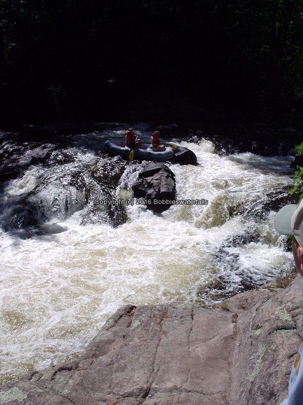
Peshtigo River Rapids


Strong Falls Marienette County WI 7-5-2007_00004.jpg
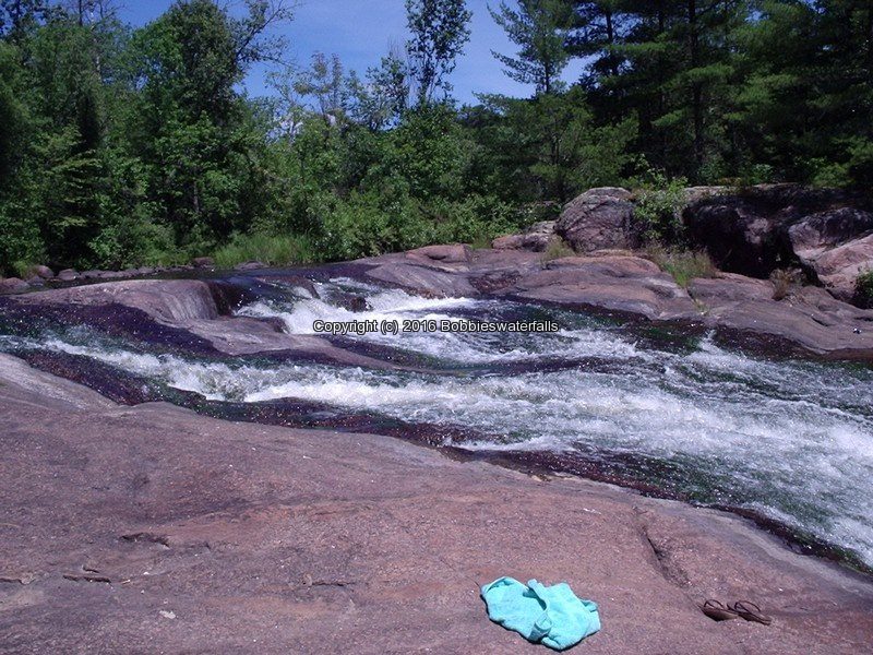
Smally Falls Marienette County WI

Waterfall Locations in Marienette County, Pembine, Wisconsin 3-16-2016

Waterfall Locations in Marienette County, Pembine, Wisconsin 3-16-2016

Waterfall Locations in Marienette County, Pembine, Wisconsin 3-16-2016
Long Slide Falls
Long Slide Falls County Park
Sullivan Creek 50 ft Slide

Longslide Falls Marienette County WI 7-5-2007_00002.JPG

Smalley Falls
N Branch Pemebonwon River
10′-100′ Stretch Chute

Smally Falls Marienette County WI 7-5-2007_00002.JPG
Twelve Foot Falls Marienette County WI

Waterfall Locations in Marienette County, Dunbar, Wisconsin 3-14-2016

Waterfall Locations in Marienette County, Dunbar, Wisconsin 3-14-2016

Waterfall Locations in Marienette County, Dunbar, Wisconsin 3-14-2016
Eight Foot Falls
Twelvefoot Falls County Park
North Branch Pike River

Eight Foot Falls Marienette County WI 7-5-2007_00002.jpg

Eighteen Foot Falls
North Branch Pike River

Eighteen Foot Falls Marienette County WI 7-5-2007_00004.jpg

Horseshoe Falls
South Branch Pike River

Horseshoe Falls Marienette County WI 7-5-2007_00005.jpg
Horseshoe Falls Marienette County WI 7-5-2007_00006.jpg

Twelve Foot Falls
Twelvefoot Falls County Park
North Branch Pike River 12 ft Slide

Twelve Foot Falls Marienette County WI 7-5-2007_00002.jpg

Waterfall Locations in Marienette County, Amberg, Wisconsin 3-12-2016

Waterfall Locations in Marienette County, Amberg, Wisconsin 3-12-2016

Waterfall Locations in Marienette County, Amberg, Wisconsin 3-12-2016
Dave’s Falls County Park
Upper and Lower Falls
Sullivan Creek  Lower Falls 15 ft

Daves Lower Falls Marienette County WI 7-5-2005_00004.JPG
Daves Upper Falls Marienette County WI 7-5-2007_00003.JPG

Waterfall Locations in Menominee County, Markton, Wisconsin 3-10-2016

Waterfall Locations in Menominee County, Markton, Wisconsin 3-10-2016

Waterfall Locations in Menominee County, Markton, Wisconsin 3-10-2016
Big Smokey Falls

Menominee Indian Reservation
Big Smokey Falls Rafting
Wolf River 20 ft Cascade

Big Smokey Falls Menominee County WI 7-1-2007_00004.jpg

Wolf River Dells Lower and Upper

Menominee Indian Reservation
Wolf River Cascades

Wolf River Dells Menominee County WI 7-1-2007_00009.jpg
Wolf River Dells Menominee County WI 7-1-2007_00007.jpg

Gilmores Mistake Rapids

Nicolet National Forest
Wild Wolf River Inn
Wolf River Rapids

Wolf Rapids Menominee County WI 7-1-2007_00002.jpg
Bagley-Rapids-Oconto-County-WI-7-2-2007_00004.jpg

Bagley Rapids in Oconto County, Mountain, Wisconsin 3-8-2016

Bagley Rapids in Oconto County, Mountain, Wisconsin 3-8-2016

Bagley Rapids in Oconto County, Mountain, Wisconsin 3-8-2016
Bagley Rapids

Chequamegon-Nicolet National Forest, North Branch Oconto River

Bagley Rapids Campground

Bagley Rapids Oconto County WI 7-2-2007_00003.jpg
Keshena-Falls-Menominee-County-WI-7-1-2007_00002.jpg

Waterfall Locations in Menominee County, Keshena, Wisconsin 3-6-2016

Waterfall Locations in Menominee County, Keshena, Wisconsin 3-6-2016

Waterfall Locations in Menominee County, Keshena, Wisconsin 3-6-2016
Bear Trap Falls

Menominee Indian Reservation
West Branch Wolf Creek

Bear Trap Falls Oconto County WI 7-2-2007_00003.jpg


Keshena Falls

Menominee Indian Reservation
Wolf River 15 ft Segmented

Keshena Falls Menominee County WI 7-1-2007_00008.jpg
Oxbow Falls Park

Updated Waterfall Locations in Lincoln Town, Madison County New York 3-4-2016

Updated Waterfall Locations in Lincoln Town, Madison County New York 3-4-2016

Updated Waterfall Locations in Lincoln Town, Madison County New York 3-4-2016

OXBOW FALLS MADISON NY 4-12-2015_00003.JPG

The photo above can be seen from the roadside. You can either park at the pull off for the overlook just before reaching the park. Other option is to park in the parking area for the park and walk back down the road to where the guardrails start.


Oxbow Falls County Park

Helderburg Escarpment

Clockville Creek 100 ft Ribbon

Short to the top of falls

There are 3 waterfalls in the park. From the parking area follow the trail to top of falls. There is a trail on both sides of the falls. I like taking the trail on the right side of the falls, all the way down. There are smaller falls along that section. As well as it takes you around to the bottom of the Main falls, and bottom of the second falls. If you take the trail on the left side from the top, it takes you around the other side for a long distant view of the two falls. 

Madison County Parks

Town of Lincoln

OXBOW FALLS (falls at) MADISON COUNTY CENTRAL NEW YORK 4-6-2014_00001.JPG


OXBOW FALLS MADISON NY 4-12-2015_00053.JPG


Buttermilk Falls (Lincoln)

Private Property Best seen in the fall.

Limestone Creek  30 ft  Cascade Roadside

BUTTERMILK LINCOLN MADISON CENTRAL NY 4-03-2008_00006.JPG


Perryville Falls

Canaserga Creek 150 ft Cascade Private

I spoke with a landowner, and the property is owned by a relative. When I stopped to get permission, after being directed to do so, no one was home….My luck…Plans to return in the future.


Clockville Creek Falls-Crandall Road falls on (prior named)

Unnamed Stream Cascade Roadside Private

The owner was working in his yard and granted us permission to take photos of the falls. I have been to this location many times over looking for Clockville Creek Falls. A friend of mine took me to the location you see here in the photos. The location is on private property. We obtained permission to photograph the falls.

The resource I had had for years showed there was the Clockville Creek Falls, in this same location. I was not looking for the falls right in someones side yard. I was looking on Clockville Road at the intersection of Clockville Road and Crandall Road. The falls are actually located on Crandall Road just about two houses up from the intersection on Crandall Road.

I am like 99 percent sure I have the correct location of Clockville Creek Falls.

CRANDALL ROAD falls on MADISON COUNTY CENTRAL NEW YORK 4-6-2014_00001.JPG


Canastota Falls and Dam

North Country Trail/link Trail

Canastota Creek Dam and Falls

From nelson road to Canastota Falls is .6 mile round trip. The total approximate distance from the parking on Oxbow Road and following the trail to Nelson Road it is 1.7 miles one way.

This was very easy to find. The trail looks well maintained. I have included a picture of the area where you would have to turn off main trail (see page). Just listen for the falls. This section of the trail has the two seasonal waterfalls. More looks like run offs from somewhere further up. 

Madison County Trails

CANASTOTA FALLS MADISON CENTRAL NY 7-24-2014_00006.JPG


Link Trail Canastota 4-27-2015_00014.JPG


Stockbridge Falls

Updated Waterfall Locations in Stockbridge Town, Madison County New York 2-29-2016

Updated Waterfall Locations in Stockbridge Town, Madison County New York 2-29-2016

Updated Waterfall Locations in Stockbridge Town, Madison County New York 2-29-2016
Stockbridge Main, Upper and Lower Falls aka Oneida Falls
Oneida Creek (100 ft Total) (8 ft Lower) Cascade
Roadside view
There is room for parking before the small bridge. There is private property on both sides of the falls. The 8 ft Lower Falls is located across the road from the Main Falls. There Is A Trail On The Left Side From The Road.
Main Falls

STOCKBRIDGE MAIN MADISON CENTRAL NY 3-26-2010_00005.JPG

Middle Falls

STOCKBRIDGE MIDDLE CENTRAL NY 10-20-2006_00005.JPG

Lower Falls

STOCKBRIDGE LOWER MADISON CENTRAL NY 3-26-2010_00008.JPG

Quarry Road Falls aka The Cascades
Cascade Roadside distant view only
I had visited this waterfall a few years back. There were people here at the falls then. I recently revisited this area again and there are posted signs everywhere. Shown in the first photo was the only photo I could get and this was taken at a business parking lot on the main highway.

THE CASCADES MADISON CENTRAL NEW YORK 4-01-2010_00025.JPG

Updated Waterfall Locations in Cortland County New York 2-28-2016

Updated Waterfall Locations in Cortland County New York 2-28-2016
The following waterfalls are located in Cortland County, New York in the Towns of Truxton and Cuyler.

TINKERS CORTLAND CENTRAL NY 4-11-2008_00007

Tinkers Falls  Located in the Town of Truxton

This Is In The Labrador Hollow State National Park. There Is A Tinkers Falls Sign .

Stoney Creek  45 ft Plunge 

Takes About 15 Minutes In And Out. Follow the dirt trail that runs along beside the stream to the falls.

TINKERS CORTLAND CENTRAL NY 4-11-2008_00037.JPG


Spicer Falls  Located in the Town of Cuyler

Morgan Hill State Forest

Onondaga Branch Of The Finger Lakes Trail

Tioughnioga River  60 ft maybe 34 ft  Cascade/fan  .7 Mile Round Trip

At the time I was here there was a sign directing us to the other trail, but we could not locate it.

MORGAN HILL SF 4-11-2008_00002.JPG