Tag Archives: newyorkstate

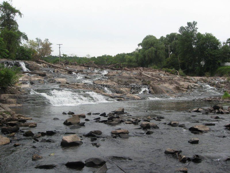
Monitor mills falls

Monitor mills falls

Monitor mills falls

Moshier Lower Falls (1 Waterfall 12 ft, and 4 Other Falls)

Moshier Lower Falls (1 Waterfall 12 ft, and 4 Other Falls)

Moshier Lower Falls, on the Beaver River (1 Waterfall 12 ft, and 4 Other Falls)
Moshier Falls Section, Beaver River Whitewater Route
Lewis County, Town of Watson,Adirondack Park
Date Visited: 6/28/2016
Stream or River: Beaver River flows into the Black River

Moshier Upper Falls #3 First Falls

Moshier Upper Falls #3 First Falls

Parking Areas:
Moshier Trailhead parking N43.87017 W75.13762 1501 ft
Moshier Road put in Parking only during whitewater events N43.88503 W75.10730 1653 ft
Points of Reference:
Moshier Reservoir N43.88703 W75.10820 1640 ft
Moshier Dam N43.88752 W75.10920 1635 ft
Falls N43.88358 W75.12785 1499 ft
Falls N43.88234 W75.13003 1494 ft
Falls (possible 10-12 ft falls mentioned in description on AW) N43.88038 W75.13161 1494 ft
Moshier Powerhouse/dam N43.87201 W75.13587 1449 ft
Trail marker N43.87194 W75.13778 1456 ft

Map at trailhead N43.87033 W75.13765 1492 ft

Photo Locations:
Bushwack in from trail N43.87436 W75.13593 1498 ft
Falls #1 N43.87417 W75.13596 1485 ft
Falls #2 N43.87379 W75.13604 1494 ft
Falls #3 N43.87348 W75.13620 1497 ft
Looking down at power plant N43.87327 W75.13633 1479 ft
Bottom drop before power plant N43.87305 W75.13646 1454 ft
Post marker N43.87397 W75.13698 1514 ft
Foot bridge N43.87229 W75.13767 1445 ft
Power Plant N43.87203 W75.13716 1444 ft

For more information please click on the highlighted links

Moshier Lower Falls #1 N43.87417 W75.13596 1485 ft
Moshier Lower Falls #2 N43.87379 W75.13604 1494 ft
Moshier Lower Falls #3 N43.87348 W75.13620 1497 ft
Moshier Lower Falls #4 N43.87305 W75.13646 1454 ft
Moshier Lower Falls #5
I have recorded the tracks for the Moshier Falls section and trail which can be viewed and downloaded, click on the following link.

Wikiloc Beaver River Whitewater Route Moshier Falls Section

Powered by Wikiloc

Dig The Falls is offering a limited time purchase of T-shirts, Long Sleeve T’s and Hoodies

Dig The Falls is offering a limited time purchase of T-shirts, Long Sleeve T’s and Hoodies

https://www.bonfirefunds.com/dig-the-falls-ts

A decent day!

A decent day!

A decent day!

Tooley Pond Road Waterfalls (12 Named Waterfalls)

Tooley Pond Road Waterfalls (12 Named Waterfalls)
Whitewater Route Twin Falls Section of Grass River Lower South Branch
St Lawrence County, Town of Clare
Grasse River Wild Forest
 
Date Visited: 10/7/2010
 
Stream or River: Grass River Lower South Branch flows into the St Lawrence River

Resources Used:

Eastern NY All Outdoors Atlas and Field Guide Publication 2008 pg 99 A6
Eastern New York All Outdoors Atlas and Field Guide Publication 2008 pg 100 A1
Adirondack Waterfall Guide By Russell Dunn
Adk Park Map Saranac P. Smith
American Whitewater Grass River Lower South Branch
Adirondack Great Walks & Day Hikes A Guide to paths less taken in the Northeast’s last great wilderness. You can download or request brochures here
For additional information, click on the highlighted links: 
Rainbow Falls aka Large Marge 
Whip-it Good IV
Location: N44.31161 W75.00152
Type: Rapids
Landmark: Located between Rainbow Falls and Flat rock Falls at the .6 mile mark.
Flat Rock Falls IV
Location: N44.31841 W75.00759

Height: 25 ft
Type: Ledge slide drop, Tiered
Landmark: Camp Flat Rock

Bulkhead Falls
Location: N44.33146 W75.01765
Height: 25 ft
Type: Slide
Hike: Bulkhead Falls Trail, Maybe 16 Minutes Round trip
Landmark: Look For Sign That States No Motor Vehicle Access.
Adrenaline Falls IV
Location: N44 19.895 W75 01.303
Height: 12 ft
Type: Slide
Landmark: Before this there is a dirt road giving a good view of both falls. After this is the top of the falls, where the mill was located.

Stewart Rapids
Location: N44.33241 W75.02317
Height: 24 ft
Type: Rapids
Hike: Roadside

Twin Falls
Booney Falls
Location: N44.33376 W75.02931
Hike: Short
Landmark: Approximately .3 Mile North Of Twin Falls

Sinclair Upper Falls
Sinclair Falls aka Iron Bridge
Basford Falls
Degrasse Graffiti Rapids

Dig The Falls Team at Chittenango Falls 5-14-2016

Had a great day today meeting new folks!! Meeting of the minds, kids at play, good food with good time…
Check out the following links
New York Waterfalls – Dig The Falls on Facebook
Dig The Falls Website
Jessica Painter Photography on Facebook
Jessica Painter Photography
John Haywood Fine Art Photography on Facebook
John Haywood Photos
Another Adventure Photography Stash Rusin on Facebook
Another Adventure Photography Stash Rusin

For more information on Chittenango Falls State Park click on the following link
Chittenango Falls
Chittenango Falls 5-14-2016_00006 Chittenango Falls 5-14-2016_00013

Otsquago Creek Tributary – 2 Waterfalls

Otsquago Creek Tributary – 2 Waterfalls

Otsquago Creek Tributary – 2 Waterfalls

Location:
Stark Twn
First Visit:
10/4/2014
Region:
Central
County:
Herkimer
Gps of Parking:
N42.89144 W74.83651
Stream/River/Watershed:
Otsquago Creek Tributary
Elevation:
1218 ft
My Resource:
Drive by
Nearest Intersection:
Hwy 80 and Jordanville Rd

For additional information please click on the following links:
Otsquago Creek Tributary falls on #1
Otsquago Creek Tributary falls on #2

Otsquago Creek Tributary falls on, Herkimer County

Otsquago Creek Tributary falls on, Herkimer County

A taste of small falls on Bud Brook

A taste of small falls on Bud Brook

A taste of small falls on Bud Brook

Little Chuctanuanda Falls, Montgomery County, NY now Private

Little Chuctanuanda Falls, Montgomery County, NY now Private

Little Chuctanuanda Falls, Montgomery County, NY now Private
Please take note that LITTLE CHUCTANUANDA FALLS, is now private property. I just received information to reflect this. Remember folks that we need to keep in mind landowners wishes!!

Bastion Falls, Greene County, New York 2013

Updated Waterfall Locations in Greene County, New York 2-9-2016

Updated Waterfall Locations in Greene County, New York 2-9-2016

Updated Waterfall Locations in Greene County, New York 2-9-2016
This concludes the waterfall locations I have for Greene County.

East Durham (falls in) Thorp Creek (Cornwallville Creek)
There is a small trail that leads to the edge of the cliff side where the falls can be seen. You can also view this from the top on the bridge. Use caution!!

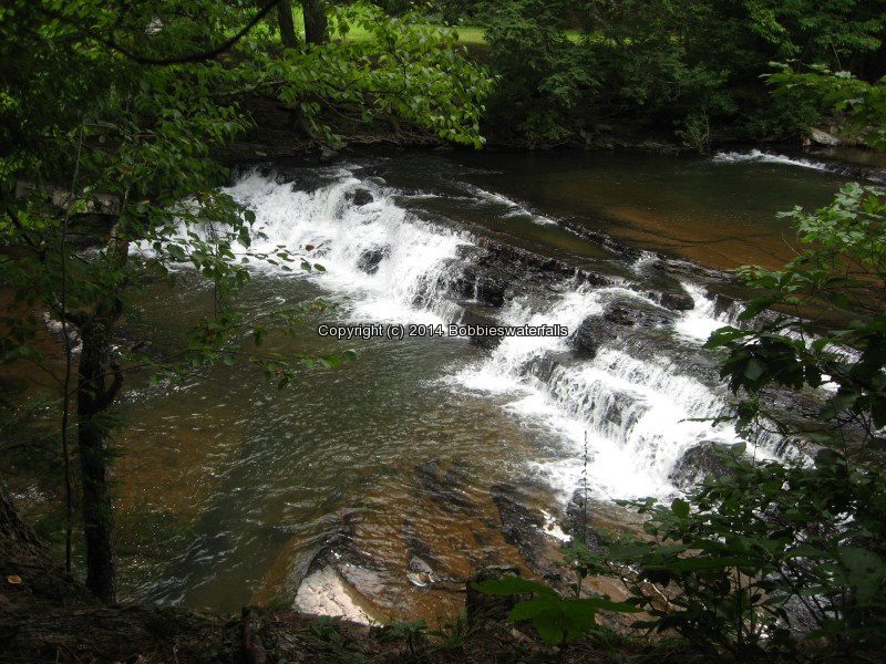
EAST DURHAM (FALLS IN) GREEN COUNTY SOUTHERN NEW YORK 8-17-2013_00003.JPG


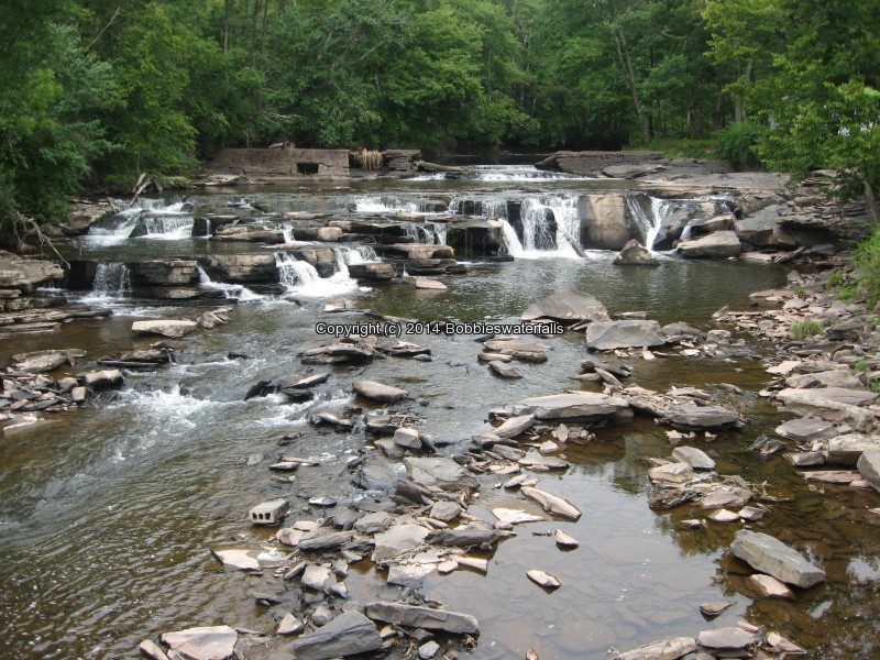
Woodstock Dam and Falls Catskill Creek
Although this location is posted, there were at least 20 people here that stated it was okay to access the area. The link provided in addition information is calling the waterfall there “The Woodstock Waterfall”. That location is Tannery Brook Falls in Ulster County.

WOODSTOCK DAM (FALLS AT) GREEN COUNTY SOUTHERN NEW YORK 8-17-2013_00007.JPG


Bastion Falls aka Horseshoe Falls or Bastin Falls
This is also the beginning of the trail to Kaaterskill Falls. Even though this is roadside, parking is further up the road, and we had to walk quite far. The main parking area was full. From the main parking area, it is a .2 mile walk along the roadside.

BASTION FALLS GREEN COUNTY SOUTHERN NEW YORK 8-18-2013_00042.JPG


Buttermilk Falls (Leeds) Green Lake Stream
The book indicates there are 3 falls here. I believe by the photos, we may have gotten a glimps of them. We have a hard time following the path, and crossing over the top of the falls looked rather sketchy.

BUTTERMILK FALLS GREEN COUNTY SOUTHERN NEW YORK 8-18-2013_00003.JPG


Haines Falls
This is on private property. We asked the gate keeper permission to have access. We were not allowed to leave the roadside to get pictures any closer then what is shown here. The alternate long distant view is from the Layman’s Monument on the overlook up on Schutt Road.

HAINES FALLS GREEN COUNTY SOUTHERN NEW YORK 8-18-2013_00006.JPG


Helena Falls
The Waterfall Motel is still there very run down and looks currently to now be a residence.

HELENA FALLS GREEN COUNTY SOUTHERN NEW YORK 8-18-2013_00002.JPG


HELENA FALLS GREEN COUNTY SOUTHERN NEW YORK 8-18-2013_00003.JPG


High Falls (Kiskatom) Kaaterskill Creek
The top of the lower portion can only be seen from the bridge.

HIGH FALLS GREEN COUNTY SOUTHERN NEW YORK 8-18-2013_00005.JPG


Kaaterskill Creek falls on (Mossy Hill Road)
Above High Falls (Kiskatom)

HIGH FALLS GREEN COUNTY SOUTHERN NEW YORK 8-18-2013_00009.JPG


High Falls Road Extention (falls on) Kaaterskill Creek

HIGH FALLS ROAD EXT (FALLS ON)GREEN COUNTY SOUTHERN NEW YORK 8-18-2013_00006.JPG


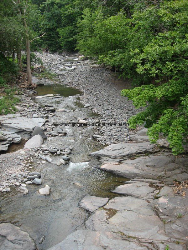
Kaaterskill Bridge (falls at) Kaaterskill Creek
Google imagery shows falls both above and below the bridge.

KAATERSKILL BRIDGE (FALLS AT) GREEN COUNTY SOUTHERN NEW YORK 8-18-2013_00004.JPG


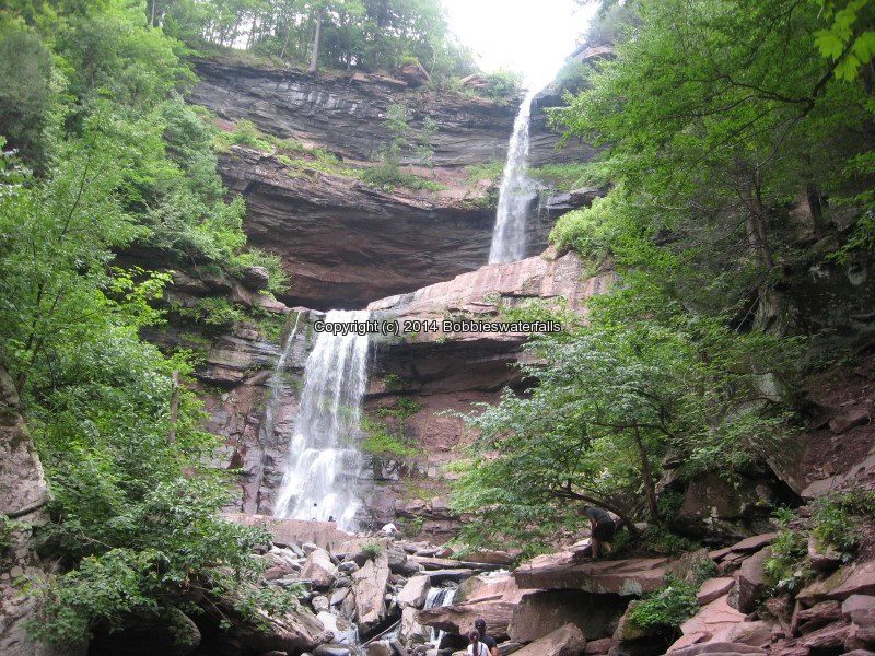
Kaaterskill Falls
There are 2 access locations for the falls, you can choose to hike from the bottom up, which passes by Bastion Falls. This is a 1 1/2 mile round trip. The other access is from the top, which is located off of Laurel House Road. An easy trail leading to the top of the falls. Since I was here there have been changes made to the location of the falls due to the amount of injuries and deaths from folks getting to close to the edge. I plan to revisit this one in the future.

KAATERSKILL FALLS GREEN COUNTY SOUTHERN NEW YORK 8-18-2013_00010.JPG


Kliens Falls
Roadside view from the bridge looking down or a short scramble from parking.

KLIENS FALLS GREEN COUNTY SOUTHERN NEW YORK 8-18-2013_00003.JPG


Rip Vanwinkle Falls aka Austin Falls and Leeds Falls and Great Falls
There is no access to this location as of our visit. There are posted signs everywhere. If anyone has information for access please let me know. Austin Glen Falls and Leeds Falls according to resources and google imagery shows the waterfall locations. Leeds Falls is listed as being above Rip Van Winkles Falls. Austin Glens Falls is below Route 23.