Tag Archives: oneida county

Trenton Falls Scenic Trail 2017 Spring and Fall Dates

Trenton Falls Scenic Trail 2017 Spring and Fall Dates

Trenton Falls Scenic Trail 2017 Spring and Fall Dates
I almost forgot to check in with this years open dates!
Saturday and Sunday May 6th and 7th from 9am to 5pm
http://town.trenton.ny.us/content/News/View/429

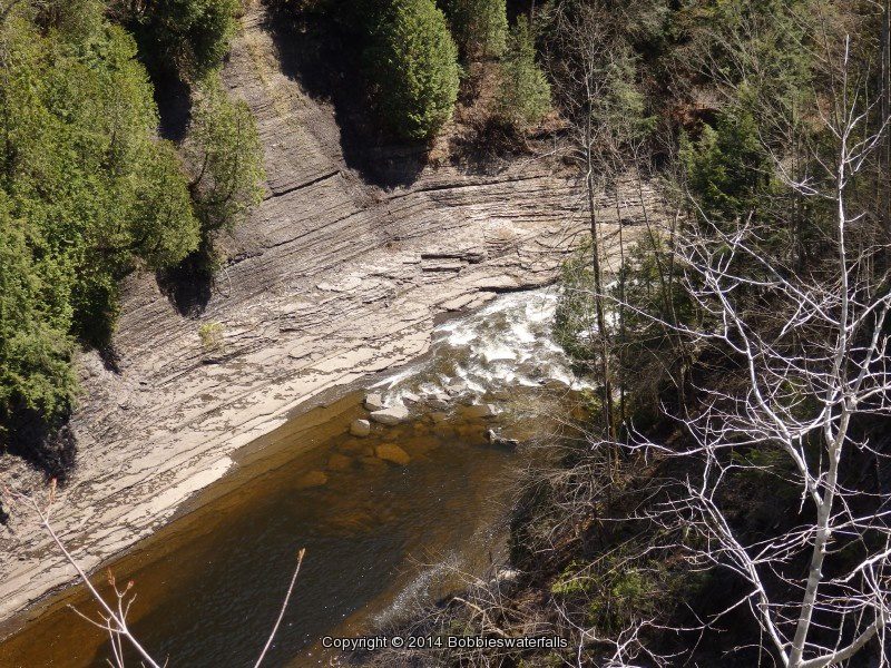
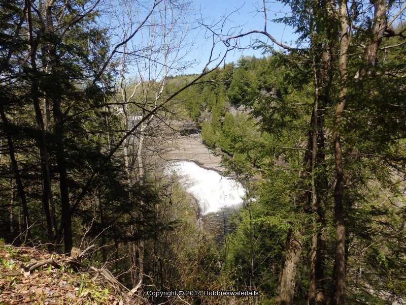
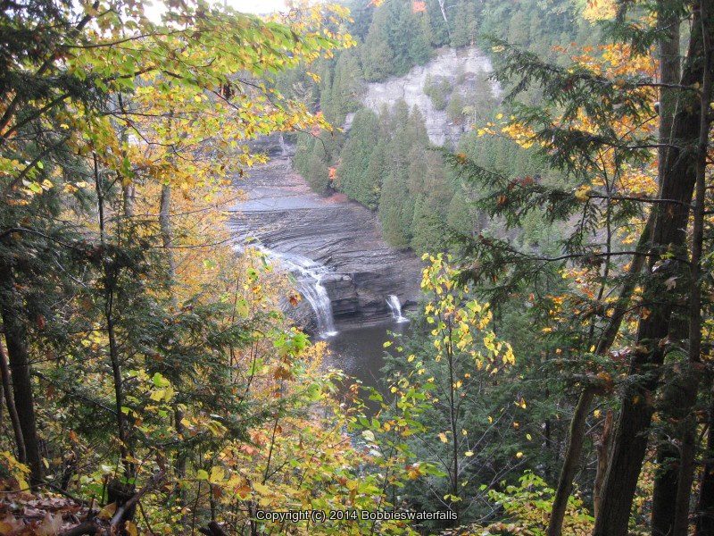
Trenton Falls Scenic Trail, Oneida County New York

Trenton Falls Scenic Trail, Oneida County New York

Sherman Falls, Trenton Falls Scenic Trail, Oneida County, New York

Trenton Falls Scenic Trail, Scheduled for 2016, Oneida County, New York 3/27/2016

Trenton Falls Scenic Trail, Scheduled for 2016, Oneida County, New York 3/27/2016

Trenton Falls Scenic Trail, Scheduled for 2016, Oneida County, New York 3/27/2016
Trenton Falls Scenic Trail and Waterfalls

Mark your calendars folks, the 2016 open dates have been posted!
Spring Dates
Saturday May 7th 2016
Sunday May 8th 2016
Fall dates
Saturday  September 17th 2016
Sunday September 18th 2016

Interesting Links

Social History: Initial Discovery

Social History: Early Settlement

Listed in the order which the waterfalls will be seen:

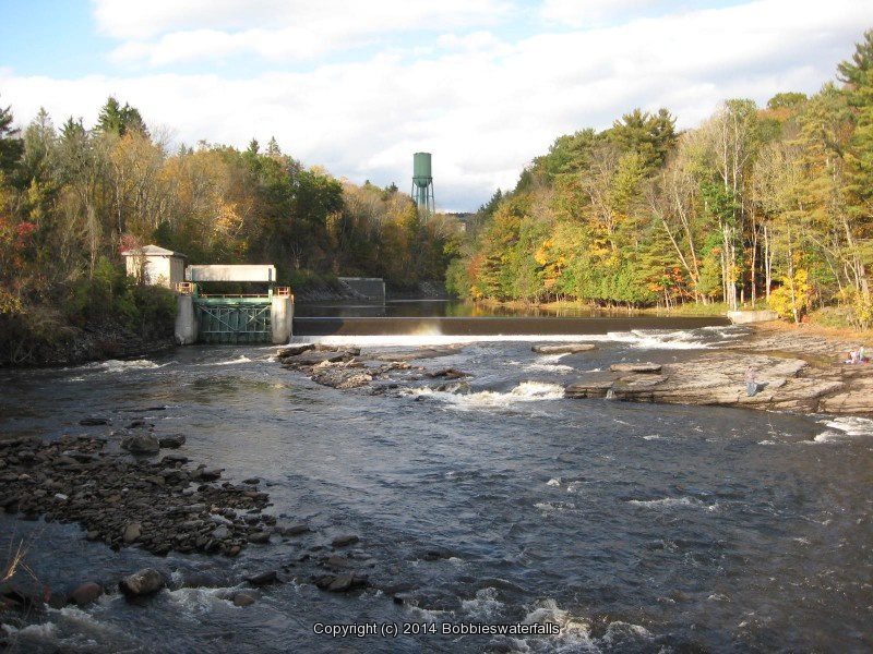
Morgan Dam at Trenton Falls
Aka Village Falls

TRENTON MORGAN DAM ONEIDA CENTRAL NY 10-06-2012_00001.JPG

Sherman Falls at Trenton Falls
TRENTON SHERMAN FALLS ONEIDA COUNTY CENTRAL NEW YORK 5-11-2014_00011.JPG

Below Sherman Falls
TRENTON SHERMAN FALLS ONEIDA COUNTY CENTRAL NEW YORK 5-11-2014_00016.JPG
  

TRENTON SHERMAN FALLS ONEIDA COUNTY CENTRAL NEW YORK 5-11-2014_00012.JPG

Potash Kettle and the Narrows at Trenton Falls
Aka Cascades Of The Alhambra
Section above Sherman Falls

Lower High Falls at Trenton Falls

TRENTON LOWER HIGH FALLS ONEIDA COUNTY CENTRAL NEW YORK 5-11-2014_00007.JPG

TRENTON LOWER HIGH ONEIDA CENTRAL NY 10-06-2012_00003.JPG

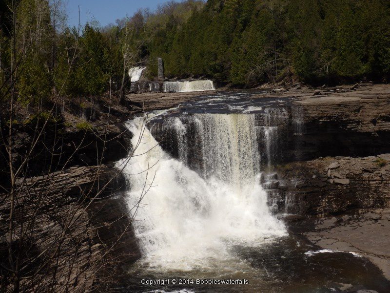
Upper High Falls at Trenton Falls
TRENTON HIGH FALLS ONEIDA COUNTY CENTRAL NEW YORK 5-11-2014_00005.JPG

The current trail stops here, back in 2006 I was thankful I had the opportunity to go to its end.

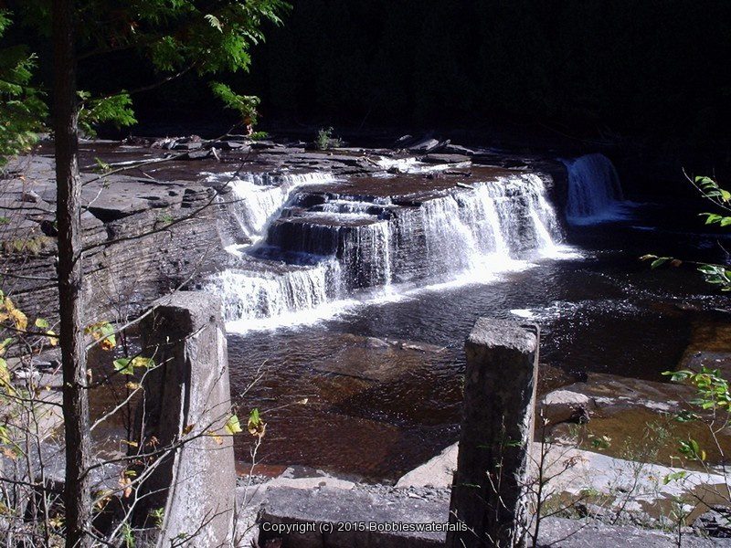
Mill Dam Falls At Trenton Falls
Aka Upper Falls Or Squires Falls

MILL DAM ONEIDA CENTRAL NY 10-07-2006_00002.JPG

Hydro Dam Falls At Trenton Falls
HYDRO DAM MILL DAM ONEIDA CENTRAL NY 10-07-2006_00003.JPG

HYDRO DAM MILL DAM ONEIDA CENTRAL NY 10-07-2006_00001.JPG

I am still trying to narrow down exactly what section or falls the following are referred to historical.
Bridal Veil Falls at Trenton Falls
Suydam Falls at Trenton Falls

Frenchville Gorge Waterfalls, Big Brook

Frenchville Gorge Waterfalls, Western Town, Oneida County, New York 3/27/2016

Frenchville Gorge Waterfalls, Western Town, Oneida County, New York 3/27/2016

Frenchville Gorge Waterfalls, Western Town, Oneida County, New York 3/27/2016
Frenchville Gorge is located in the Town of Western in Oneida County New York.
I found reference to this area from a photo I had seen on the
Cycle Adirondacks 2015

I have not confirmed the actual falls have individual names or not. Everyone of the locations can be seen from the roadside. Two or three of them have a short scramble to get down for closer view.

Gulf Creek (falls on) Frenchville Gorge

Gulf Creek Falls on 274C 10-11-2015_00012.JPG

Gulf Creek falls on 10-17-2015_00007.JPG


Big Brook (falls on) Frenchville Gorge

Big Brook falls on 274E 10-11-2015_00007.JPG

Big Brook Lower Section (falls on) Frenchville Gorge

Big Brook falls on 274DD 10-11-2015_00004.JPG

Big Brook Upper Section (falls on) Frenchville Gorge

Big Brook falls on 274D 10-11-2015_00006.JPG

Gifford Creek (falls on) Frenchville Gorge

Gifford Creek falls on 274B 10-11-2015_00001.JPG

Wells Creek (falls on) Frenchville Gorge

Wells Creek falls on 274A 10-11-2015_00002.JPG

Fallbrook Falls, Oneida County, New York

Fallbrook Falls (Annsville Town)

Fallbrook Falls (Annsville Town)

Fallbrook Falls – 5 Waterfalls

AKA:
The 5 Cascades
Location:
Annsville Twn
First Visit:
10/26/2008
Region:
Central
County:
Oneida
Park/Area:
—–
Gps of Falls:
N43.34828 W75.58355
Gps of Parking:
N43.35082 W75.58912
Gps of Trailhead:
—–
Trail Name/Reference to:
—–
Landmark:
Fallbrook Stables
Stream/River/Watershed:
Fallbrook
Height of Falls/Type:
Various (5) Falls Total
Elevation:
900-843 ft
Level of Difficulty/Hiking Distance:
approx. 1 mile rt
Wikiloc:
—–
Whitewater Rte/Canoe Rte Map:
Maps:
Trails Websites:
—–
My Resource:
Friends
Book Resource:
—–
Brochures/Travel Guides/Visitor Guides:
—–
Additional Information:
Photos And Information I Contributed To or Posted To Other Websites:
Northern New York Waterfalls, Digthefalls
Nearest Intersection:
Slater Rd And Coal Hill Rd
Directions:
From I-90 W, in Westmoreland, Take exit 32 to the right towards Rt-233/Westmoreland/Rome and drive for .7 miles. Turn right onto Cider Street and drive for .1 miles. Turn right onto Highway 233 and drive for 5.7 miles. Take the Rt-49 W/Rt-69 W/Rt-365 W ramp to the left  and drive for .4 miles. Take the Rt-49 W/Rt-69 W ramp to the right towards Rt-26 N/Rt-46/Downtown Rome and drive for 1.3 miles. Keep left onto Erie Blvd E and drive for 10.5 miles. Turn right onto Main Street  and drive for .7 miles. Turn right onto Coal Hill Road and drive for 3.6 miles.             
Comments/Notes:
Park on the side of the road just a little north from the intersection of Slater Road and Coal Hill Road and then walk to the back of the field. Go right and follow the field edge down and into the second field. On your left watch for a well worn path. You will hear the river along the way.

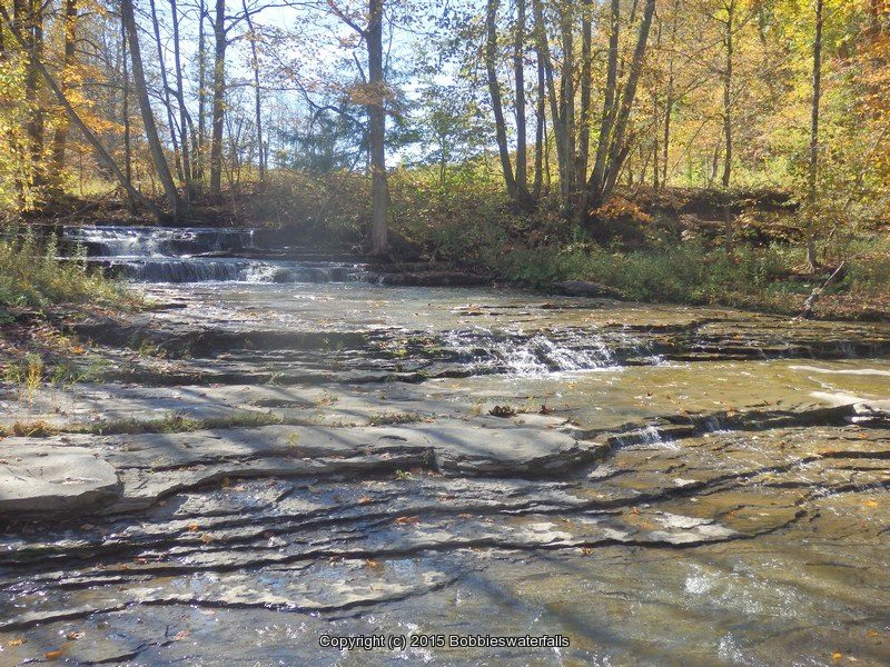
Fallbrook Falls #1, Annsville
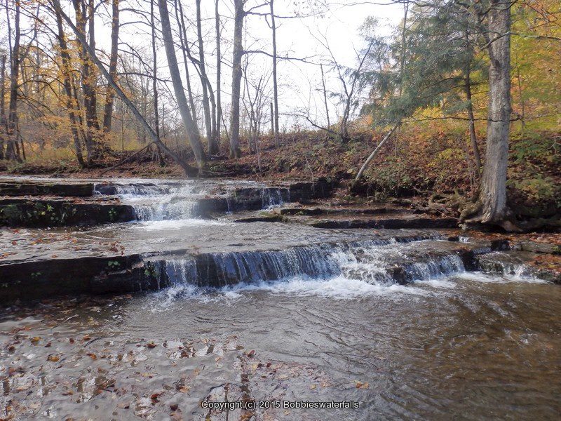
Fallbrook Falls #2, Annsville
Fallbrook Falls #3, Annsville
Fallbrook Falls #4, Annsville
Fallbrook Falls #5, Annsville