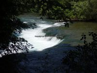
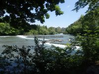
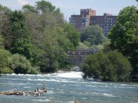
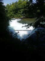
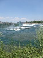
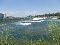
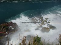
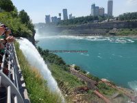
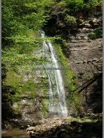
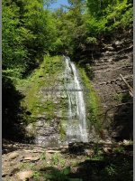
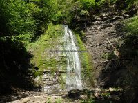
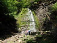
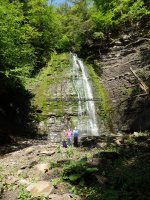
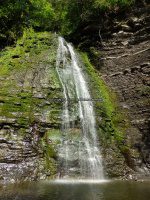
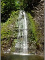
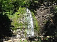
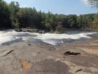
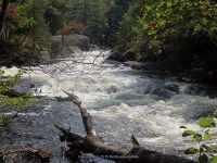
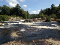
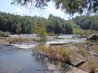
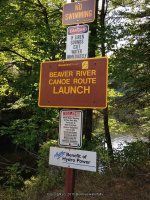
Eagle Falls ( 1 Main Waterfall and several small ones)
Eagle Falls ( 1 Main Waterfall and several small ones)
Eagle Falls Section, Beaver River Whitewater Route
Lewis County, Town of Watson
Adirondack Park
Date Visited: My first visit to the location was back in 2006. I revisited again on 9-7-2015
Stream or River: Beaver River flows into the Black River
Resources Used:
Beaver River Canoe Route
Beaver River Project FERC 2645
New York Atlas & Gazetteer Delorme Publication 2007 Pg 85 A6
American Whitewater Eagle Falls
I Love New York, Adirondacks Tug Hill Region Lewis County Visitor’s Guide
Directions:
From the intersection of Hwy 126 and Hwy 812 and Covent Road in Croghan, take Covent Road East for .3 miles. At this point Covent Road name changes to Kircherville Road. Continue East on Kircherville Road for 2.6 miles. At this point you will be at the intersection with Erie Canal Road. Continue straight. The road name now changed to Soft Maple Road, which is also Beaver River Road. Continue on Soft Maple Road for another 9 miles. Turn Left onto Canoe Launch Road for .7 miles. Which takes you to its end at the Eagle Falls Dam and Canoe Launch.
From the beginning of Canoe Launch Road, (intersection of Maple Soft Road and Canoe Launch Road), you will pass by Eagle Falls Powerhouse and Scenic Overlook Falls.
At about .3 miles you will come to the Eagle Falls takeout and Parking area, at which is the trail for the falls along their up to the dam.
Note: I believe from this trail you are only looking at the bottom portion of Eagle Falls. I plan to go back next season.
Parking Areas:
Eagle Falls put in N43.90172 W75.19481
Eagle Falls Take Out N43.90677 W75.19860
Eagle Falls Powerhouse N43.91001 W75.20142 1320 ft
Soft Maple Parked before bridge N43.91561 W75.22542 1320 ft
Soft Maple Scenic Overlook Falls Area Parking N43.91775 W75.22924 1285 ft
Points of Reference:
Eagle Reservoir N43.89727 W75.19018 1431 ft
Eagle Falls Dam N43.90092 W75.19337 1431 ft
Penstock begins N43.90306 W75.19589 1413 ft
Canoe rest area N43.90696 W75.19873 1361 ft
Penstock ends N43.90960 W75.20096 1302 ft
Eagle Falls Powerhouse N43.91001 W75.20307
Upper Soft Maple Reservoir N43.91561 W75.22009 1293 ft
Soft Maple Reservoir N43.91682 W75.22430
Soft Maple Development Overnight Camping Area N43.91596 W75.22410 1305 ft
Trail Description:
Parking at the Eagle Falls take out where the canoe rest area is, the trail starts here, and you can work your way up to the top where you will come to the base of the Eagle Falls Dam.
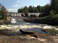
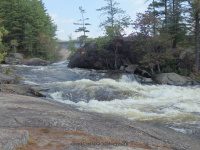
Before I get into describing the section of trail we actually took, I want to state that to actually get to the Eagle Falls portion you will need to cross over a portion of the stream/river. We seen where someone had left a board there for crossing, but it really did not occur to us that it was the cross over access to the actual falls. From what I can tell, is that from the base of the Eagle Falls Dam, the section of river splits. Of course we did not know this, and would have known if we had known how to access at the top where the dam is. The best way for me to describe is standing at the dam and looking down, Eagle Falls would be to your right and we were to the left. I would like to call it an big huge rock Island, which I am sure is not the proper name. We plan to return to this location in the future.
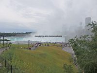
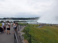
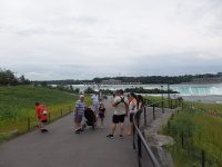
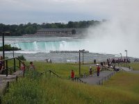
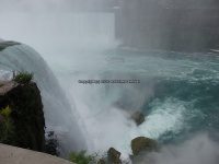
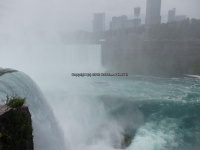
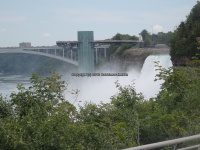
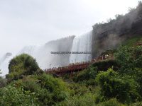
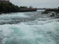
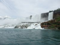
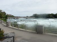
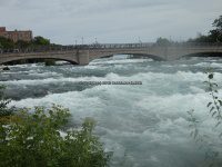
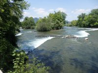
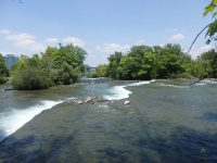
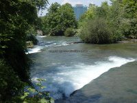
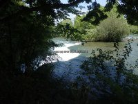
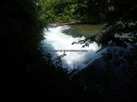
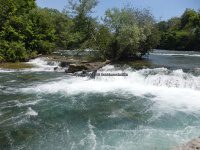
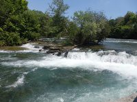
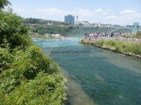
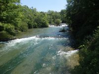
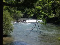
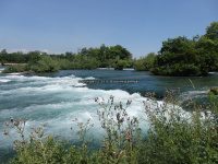
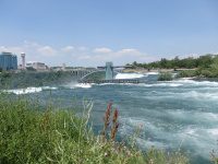
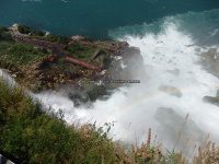
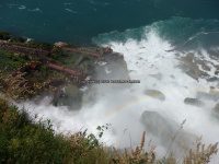
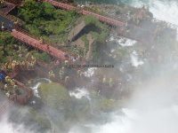
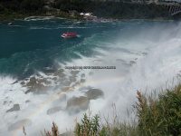
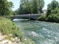
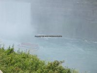
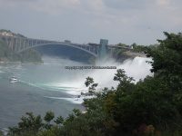
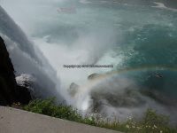
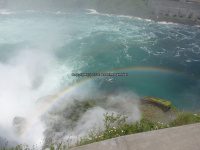
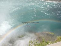
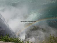
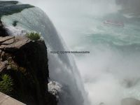
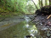
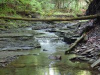
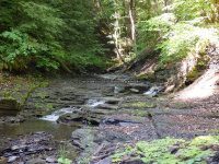
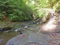
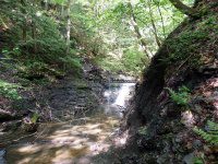
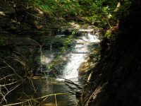
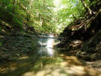
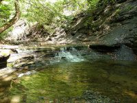
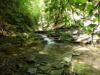
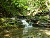
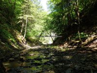
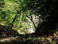
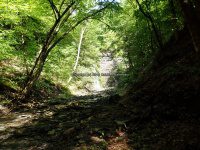
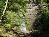
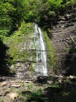
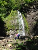
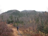
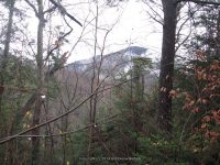
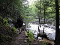
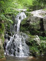
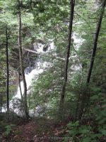
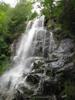
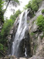
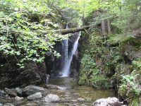
So, from the parking area, take the trail under the penstock and go right. The trail to begin with is very easy to follow. There were some very wet/muddy spots. For the most part the lower section of trail to where it meets the water is relatively easy to moderate. The last section, towards the top is difficult. The first .1 mile, there did not appear to be anything much going on. The first and second set of photos you will see before reaching the bottom of Eagle Falls. Your first view of the bottom portion of Eagle Falls is about .2 miles. In a couple hundred feet more, you will come to the section they call the overlook, as well as your about straight across from the bottom of Eagle Falls. From this point forward you need to use extreme caution as you now will be climbing upwards. It is about 250 feet to get to the bottom of this last section. If you follow the trail well above this last location you will not have a very good photo opportunity. However, if you go in from the bottom up, you will be walking on a slant, which is all flat smooth surfaced rock. When I say slippery, that is exactly what it was. We had leaves on top of moss. When you reached the top from here you will be standing at the base of the dam and beside the penstock. You will have to retrace your steps back down the trail, because at that point we could not figure out how to cross over to the road and just take the road back down. Total round trip is about .8 miles.
For additional information click on the following links
Eagle Falls
Eagle Falls Dam
Eagle Falls Lower Section
Eagle Falls Powerhouse and Scenic Overlook Falls
Eagle Falls Scenic Overlook Area
Soft Maple Reservoir Dam and Falls
I have recorded the tracks for the Eagle Falls section and trail which can be viewed and downloaded, click on the following link.
Wikiloc Beaver River Whitewater Route Eagle Falls Section
| Original content here is published under these license terms: | X |
|
| License Type: | General Public License | |
|
| License Abstract: | The GNU General Public License is a free, copyleft license for software and other kinds of works. You may re-publish the content (modified or unmodified) providing the re-publication is itself under the terms of the GPL. |
|
| License URL: | http://www.gnu.org/licenses/gpl.html |
Like this:
Like Loading...


