Category Archives: Waterfall

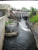
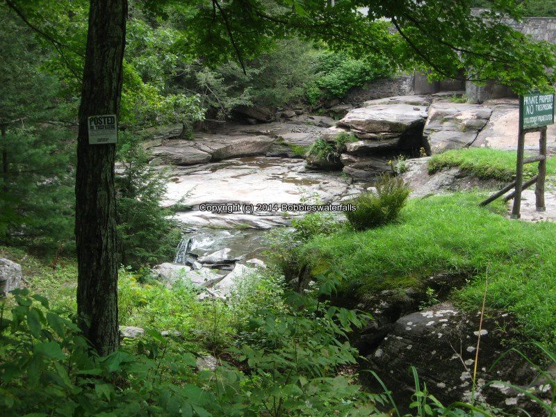
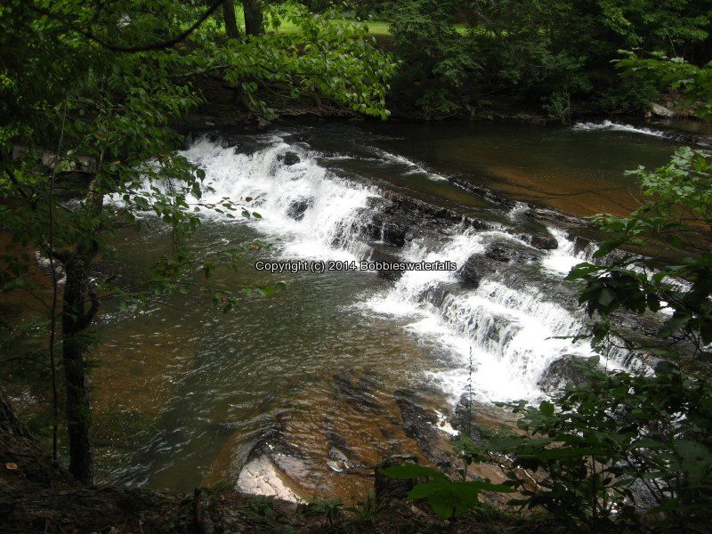
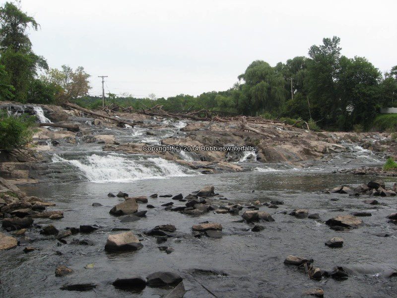
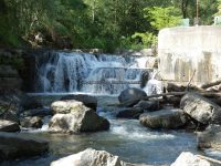
Mill Park Falls, Warren County, New York 2010

Updated Waterfall Locations in Warren County New York 2-20-2016

Updated Waterfall Locations in Warren County New York 2-20-2016

Updated Waterfall Locations in Warren County New York 2-20-2016
The following waterfall locations are in Warren County, New York in the Towns of Lake Luzerne, Chester, and South Glens Falls.

Glens Falls South Located in South Glens Falls, borders the counties of Warren and Saratoga
South Glens Falls Historical Park, The South Glens Falls Hydroelectric Project
Dam and Falls /Hudson River

The Village at Coopers Cave


Mill Park Falls (Lake Luzerne) Located in Lake Luzerne Town
Mill Park Lake/Luzerne Village Park
25 ft Slide Roadside


Rockwell Falls (Lake Luzerne) aka Jessups Little Falls, Luzerne Falls
Located in Lake Luzerne Town, borders the counties of Warren and Saratoga
Rockwell Falls Church/Bridge Of Hope
Hudson River 10 ft  Horseshoe Cascades Roadside


Trout Brook Falls (Adirondack Natural Stone Bridge and Caves) Located in Chester Town
Trout Brook  8 ft Various Types
Moderate to Difficult

Natural Stone Bridge and Caves

Natural Stone Bridge and Caves Park Map


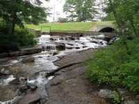
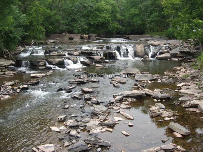
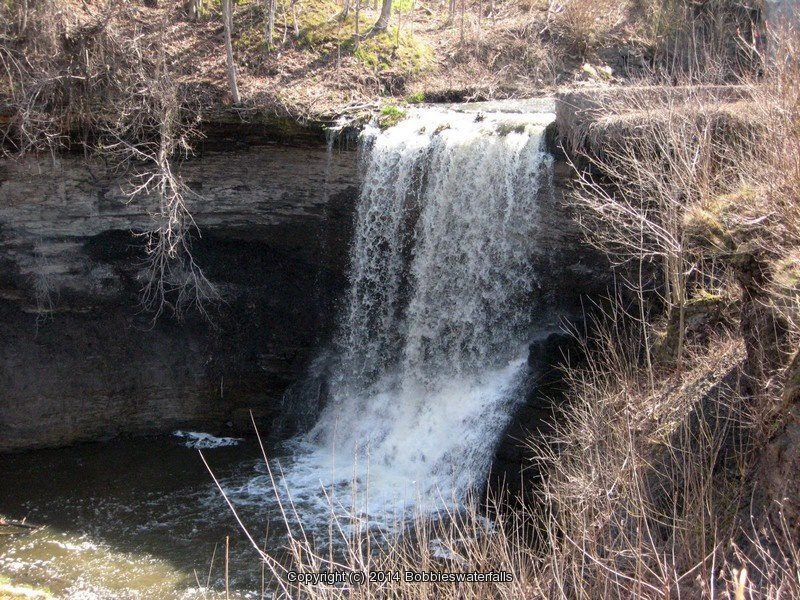
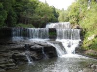
Indian Falls, Genesee County, New York 2014

Updated Waterfall Locations in Genesee County New York 2-15-2016

Updated Waterfall Locations in Genesee County New York 2-15-2016

Updated Waterfall Locations in Genesee County New York 2-15-2016
Buttermilk Falls (Leroy)
Oatka Creek  60 ft Plunge
We stopped at a home there and the access is now totally private no access available. The area is now owned by Dolomite, as of 4-13-2014


Indian Falls (Pembroke)
Tonawanda Creek  20 ft
Short walk

When we stopped in here, there must of been a bike convention or something, because the place was jam packed. We did not go over to the little patio, and we could see the gate was closed, so we took a couple of quick photos.

Be sure to plan your trip here and stop in for a bite to eat Indian Falls Log Cabin Restaurant

Indian Falls Genesee County Western New York 4-13-2014_00002.JPG


Morganville Falls in Hamlet Of Morganville
Black Creek  27 ft

We were looking for Morganville Falls, but where they appear to be looked posted. The path or trail that looked to be the one, someone was starting to plant flower beds along it. There are more photos of the location on the main page. Shown here is a picture of what we found driving in this area of town.

Morganville Falls Genesee County Western New York 4-13-2014_00004.JPG
Old Mill Falls and Dam, Ontario County, New York 2013

Updated Old Mill Falls (Flint Creek) in Ontario County New York 2-14-2016

Updated Old Mill Falls (Flint Creek) in Ontario County New York 2-14-2016

Updated Old Mill Falls (Flint Creek) in Ontario County New York 2-14-2016
Old Mill Falls (Flint Creek)
Flint Creek
11 ft and 4 ft Dam and Falls
Roadside

OLD MILL FALLS ONTARIO COUNTY WESTERN NEW YORK 8-10-2013_00002.JPG
OLD MILL FALLS ONTARIO COUNTY WESTERN NEW YORK 8-10-2013_00005.JPG
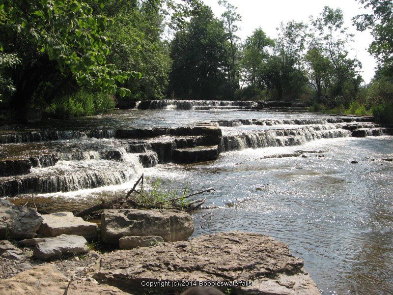
Double Drop Falls, Ontario County, New York 2012

Updated Double Drop Falls (Flint Creek) in Ontario County, New York 2-12-2016

Updated Double Drop Falls (Flint Creek) in Ontario County, New York 2-12-2016

Updated Double Drop Falls (Flint Creek) in Ontario County, New York 2-12-2016
Double Drop Falls (Flint Creek)

Ontario Pathways

Flint Creek
10 ft and 5 ft Ledges
1.2 Mile Round Trip

DOUBLE DROP FALLS ONTARIO WESTERN NY 8-04-2012_00001.JPG
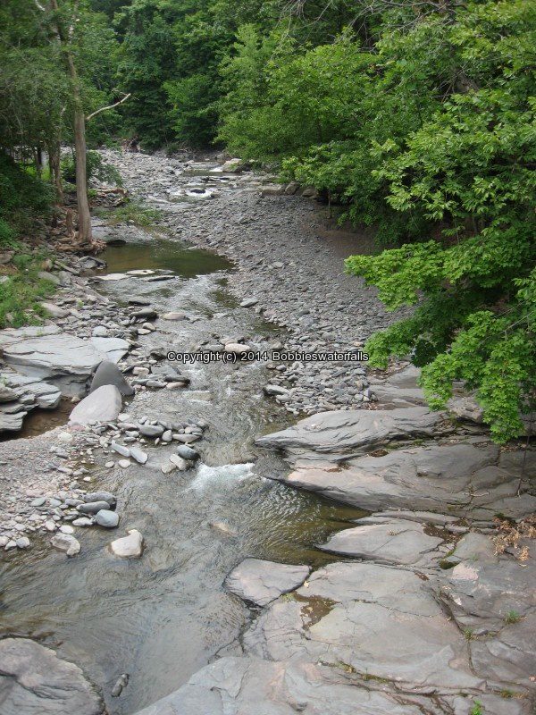
Bastion Falls, Greene County, New York 2013

Updated Waterfall Locations in Greene County, New York 2-9-2016

Updated Waterfall Locations in Greene County, New York 2-9-2016

Updated Waterfall Locations in Greene County, New York 2-9-2016
This concludes the waterfall locations I have for Greene County.

East Durham (falls in) Thorp Creek (Cornwallville Creek)
There is a small trail that leads to the edge of the cliff side where the falls can be seen. You can also view this from the top on the bridge. Use caution!!

EAST DURHAM (FALLS IN) GREEN COUNTY SOUTHERN NEW YORK 8-17-2013_00003.JPG


Woodstock Dam and Falls Catskill Creek
Although this location is posted, there were at least 20 people here that stated it was okay to access the area. The link provided in addition information is calling the waterfall there “The Woodstock Waterfall”. That location is Tannery Brook Falls in Ulster County.

WOODSTOCK DAM (FALLS AT) GREEN COUNTY SOUTHERN NEW YORK 8-17-2013_00007.JPG


Bastion Falls aka Horseshoe Falls or Bastin Falls
This is also the beginning of the trail to Kaaterskill Falls. Even though this is roadside, parking is further up the road, and we had to walk quite far. The main parking area was full. From the main parking area, it is a .2 mile walk along the roadside.

BASTION FALLS GREEN COUNTY SOUTHERN NEW YORK 8-18-2013_00042.JPG


Buttermilk Falls (Leeds) Green Lake Stream
The book indicates there are 3 falls here. I believe by the photos, we may have gotten a glimps of them. We have a hard time following the path, and crossing over the top of the falls looked rather sketchy.

BUTTERMILK FALLS GREEN COUNTY SOUTHERN NEW YORK 8-18-2013_00003.JPG


Haines Falls
This is on private property. We asked the gate keeper permission to have access. We were not allowed to leave the roadside to get pictures any closer then what is shown here. The alternate long distant view is from the Layman’s Monument on the overlook up on Schutt Road.

HAINES FALLS GREEN COUNTY SOUTHERN NEW YORK 8-18-2013_00006.JPG


Helena Falls
The Waterfall Motel is still there very run down and looks currently to now be a residence.

HELENA FALLS GREEN COUNTY SOUTHERN NEW YORK 8-18-2013_00002.JPG


HELENA FALLS GREEN COUNTY SOUTHERN NEW YORK 8-18-2013_00003.JPG


High Falls (Kiskatom) Kaaterskill Creek
The top of the lower portion can only be seen from the bridge.

HIGH FALLS GREEN COUNTY SOUTHERN NEW YORK 8-18-2013_00005.JPG


Kaaterskill Creek falls on (Mossy Hill Road)
Above High Falls (Kiskatom)

HIGH FALLS GREEN COUNTY SOUTHERN NEW YORK 8-18-2013_00009.JPG


High Falls Road Extention (falls on) Kaaterskill Creek

HIGH FALLS ROAD EXT (FALLS ON)GREEN COUNTY SOUTHERN NEW YORK 8-18-2013_00006.JPG


Kaaterskill Bridge (falls at) Kaaterskill Creek
Google imagery shows falls both above and below the bridge.

KAATERSKILL BRIDGE (FALLS AT) GREEN COUNTY SOUTHERN NEW YORK 8-18-2013_00004.JPG


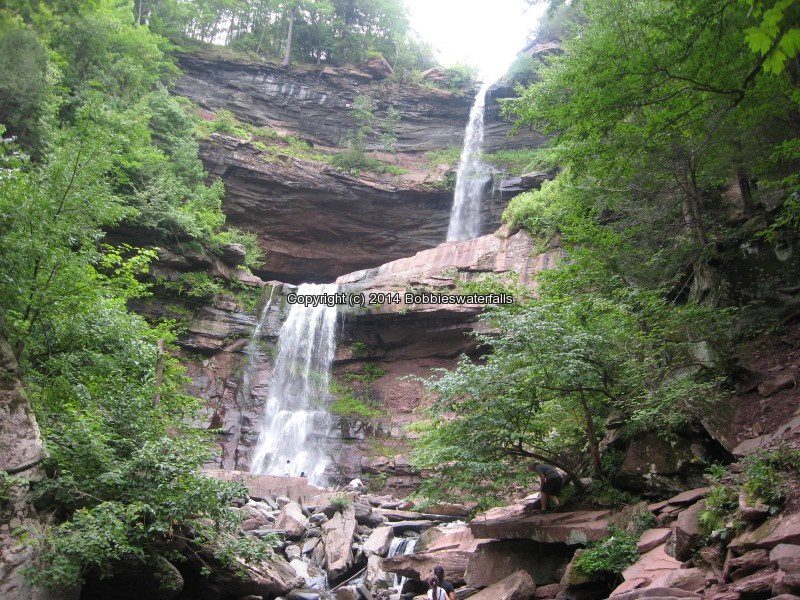
Kaaterskill Falls
There are 2 access locations for the falls, you can choose to hike from the bottom up, which passes by Bastion Falls. This is a 1 1/2 mile round trip. The other access is from the top, which is located off of Laurel House Road. An easy trail leading to the top of the falls. Since I was here there have been changes made to the location of the falls due to the amount of injuries and deaths from folks getting to close to the edge. I plan to revisit this one in the future.

KAATERSKILL FALLS GREEN COUNTY SOUTHERN NEW YORK 8-18-2013_00010.JPG


Kliens Falls
Roadside view from the bridge looking down or a short scramble from parking.

KLIENS FALLS GREEN COUNTY SOUTHERN NEW YORK 8-18-2013_00003.JPG


Rip Vanwinkle Falls aka Austin Falls and Leeds Falls and Great Falls
There is no access to this location as of our visit. There are posted signs everywhere. If anyone has information for access please let me know. Austin Glen Falls and Leeds Falls according to resources and google imagery shows the waterfall locations. Leeds Falls is listed as being above Rip Van Winkles Falls. Austin Glens Falls is below Route 23.

Nevelle Falls, Ulster County, New York 2014

Updated Waterfall Locations in Ulster and Wayne County, New York 2-6-2016

Updated Waterfall Locations in Ulster and Wayne County, New York 2-6-2016

Updated Waterfall Locations in Ulster and Wayne County, New York 2-6-2016
Wayne County 

Wolcott Falls  aka Ganadsgo Falls (by Locals)

WOLCOTT FALLS WAYNE COUNTY CENTRAL NEW YORK 4-17-2009_00004.jpg


Ulster County 

Nevele Falls
This was a very interesting location. The trail was very well warn to over use. Use caution when climbing the trail to the top. Google maps shows Nevele Falls to be located in the South Gully here N41.6940917 W74.3931071 . Any further information would be greatly appreciated.

NEVELLE FALLS ULSTER COUNTY SOUTHERN NEW YORK 8-23-2014_00003.JPG


Napanoch Falls
Utilizing google imagery, I was in the right location area, but above the actual Napanoch Falls. Parking for the Napanoch Falls was here N41.74170 W74.37650 corner of Hwy 55 and Clinton Street and Water Street. I found a view of falls further upstream here N41.74208 W74.38047, on Old Lackawack Road. There is another set of falls below Napanoch Fall here N41.74011 W74.37747, located near the corner of Irish Cape Road and Old Lackawack Road. Further upstream and above what I found are what appears to be 2 more sets of Falls. I am guessing the best time to revisit would be spring or fall. Plan to return in the future.

NAPANOCH FALLS ULSTER COUNTY SOUTHERN NEW YORK 8-23-2014_00004.JPG


Honk Falls
When we were here the bridge was having some work done. After verifying with resources, this is the correct location. A resource states possible access from the power plant near the bridge. I actually did not see one. Maybe I missed it. There were posted signs and I did not see where to gain access. Will return in the future, as there was not much water flow.

HONK FALLS ULSTER COUNTY SOUTHERN NEW YORK 8-23-2014_00003.JPG


Hanging Rock Falls (Ellenville)
I started to check out this stretch of area known to the kayakers, but this first stop did not bring me to anything, and so we moved on. Google maps shows the location of the falls. The American Whitewater states this is a 3 tiered waterfall totaling about 100 ft. There are 10 named waterfalls in this location. Now that I have obtained more information regarding location and access, plans to return in the future.

HANGING ROCK FALLS ULSTER COUNTY SOUTHERN NEW YORK 8-23-2014_00003.JPG
Old Footbridge, Falls at, Greene County, New York 2013

Updated Waterfall Locations in Greene County, New York 2-4-2016

Updated Waterfall Locations in Greene County, New York 2-4-2016

Updated Waterfall Locations in Greene County, New York 2-4-2016
The following waterfall locations updated.

Drummond Falls  which I had prior put under Ulster County by mistake!! oops

Hardenburgh Falls


Coxsackie Creek (falls on)

COXSACKIE CREEK FALLS GREEN COUNTY SOUTHERN NEW YORK 8-19-2013_00003.JPG


Tannery Bridge (falls at) Kaaterskill Creek

TANNERY BRIDGE (FALLS AT) GREEN COUNTY SOUTHERN NEW YORK 8-18-2013_00001.JPG


Old Footbridge (falls above) Kaaterskill Creek

OLD FOOTBRIDGE (FALLS AT) GREEN COUNTY SOUTHERN NEW YORK 8-18-2013_00002.JPG


Plattekill Falls

PLATTEKILL FALLS GREEN COUNTY SOUTHERN NEW YORK 8-18-2013_00011.JPG


Old Mill Falls (Plattekill Creek) which is currently included with Plattekill Falls

PLATTEKILL FALLS GREEN COUNTY SOUTHERN NEW YORK 8-18-2013_00037.JPG
Seneca Mill Falls, Yates County, New York 2013

Updated Waterfall Locations in Yates and Washington County New York 1/31/2016

Updated Waterfall Locations in Yates and Washington County New York 1/31/2016

Updated Waterfall Locations in Yates and Washington County New York 1/31/2016
I am finally starting on the new updates!! I will be doing a few locations at a time, and will eventually get thru them all. Any corrections and/or new information regarding the locations are very much appreciated!

Updated:

Cascade Mill Falls in Yates County New York


Seneca Mill Falls in Yates County New York


Dionondahowa Falls in Washington County New York


Bakers Falls(Hudson Falls) in Washington/Saratoga County New York

Shurform falls

Shurform falls

Shurform falls

Taylorville Whitewater Section Lewis County, NY 9/7/2015

Taylorville Whitewater Section Lewis County, NY 9/7/2015

Taylorville Whitewater Section Lewis County, NY 9/7/2015
The map below shows a good portion of the route that I had tracked.

This is where we parked, which was the start point of the tracking. (Note: We did not go to the end of Double Eddy Road to park, as there was no room to park at the time) From there we took the trail which comes out to the bottom of the second falls.

Parking

Above alternate parking

Trail

Above is the trail

When we got to the end of the trail we wanted to start from the put in at the first dam. The trail length is less then .1 mile.

Taylorville Dam aka Taylorville Falls

IMG_3688

Above the Put In

IMG_3689

(Above) Looking downstream from the small walk bridge at the Put In

OLYMPUS DIGITAL CAMERA

This is the second dam. Taylorville Lower Falls

IMG_3701

The 2 dams combine and flow into a section called the Beaverator IV-Rapids

OLYMPUS DIGITAL CAMERA

OLYMPUS DIGITAL CAMERA

OLYMPUS DIGITAL CAMERA

In the photo above I tried capturing one of the guys coming thru, the next guy went under but came out okay.

OLYMPUS DIGITAL CAMERA

Above shows the section to the right of the second dam, viewed from the main trail.

Approaching the top of the Great White Slide Section

(Above) We are approaching the top of the Great White Slide Section. The following photos are of the Great White Slide area.

OLYMPUS DIGITAL CAMERA

OLYMPUS DIGITAL CAMERA

OLYMPUS DIGITAL CAMERA

OLYMPUS DIGITAL CAMERA


The following photos were taken down along the trail to where there was a picnic table. Note: In the photo above, where the tree line is at back end of photo is where the picnic area is.) Just continue down the trail from the bottom of the Great White Slide.

OLYMPUS DIGITAL CAMERA

IMG_3716

OLYMPUS DIGITAL CAMERA

OLYMPUS DIGITAL CAMERA

(Above) This is the trail viewed from the picnic area.

IMG_3722

The next set of photos are taken at the picnic area. This section I believe is the Dogleg III Rapids and Mindscrambler III Rapids section. I took photos from the top, and then we walked around further down to get some lower views.

OLYMPUS DIGITAL CAMERA

OLYMPUS DIGITAL CAMERA

OLYMPUS DIGITAL CAMERA

OLYMPUS DIGITAL CAMERA

OLYMPUS DIGITAL CAMERA

OLYMPUS DIGITAL CAMERA

OLYMPUS DIGITAL CAMERA

It was at this point we back tracked and went to our vehicle and drove down to the take out on Taylorville Road. Which is at the power plant. Silly me also thought I was still tracking, BUT did not turn it back on, so I will do my best to detail.

To view the Take Out section, and to view the Powerline Boof IV Rapids Section from the bottom. From the parking area you will walk through the gate and continue straight ahead following the small path to the river.

This is on your right before going through the gate. You will have the power plant on your left, the river straight ahead and then if you go right before the fence line the short graveled road leads to the canoe boat launch area.

(Above) This is on your right before going through the gate. You will have the power plant on your left, the river straight ahead and then if you go right before the fence line the short graveled road leads to the canoe boat launch area.

IMG_3557

The next set of photos are taken at the Take Out site.

IMG_3739

IMG_3741

OLYMPUS DIGITAL CAMERA

The next set of photos are also taken from the Take Out section looking upstream towards Powerline Boof IV Rapids Section.

IMG_3732

OLYMPUS DIGITAL CAMERA

From here we back tracked back towards the parking area. When you reach the gate, turn and walk right along the fence line and follow the penstock a short distance. You will see a small path that leads again back to the river. The following photo is a visual from where I was standing at the trail that leads down to the river, and I am looking back up towards the parking area.

OLYMPUS DIGITAL CAMERA

These photos are of the Powerline Boof IV Rapids Section

IMG_3763 IMG_3766 IMG_3792 OLYMPUS DIGITAL CAMERA


To explore this whole section from start to finish took us about 2 1/2 hours. For actual walking distance in both areas maybe about 1 1/2 miles.