Category Archives: Waterfalls of the Central Region of New York State

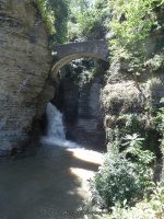
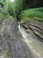
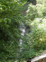
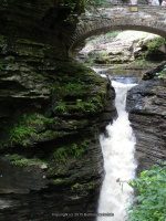
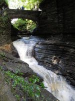
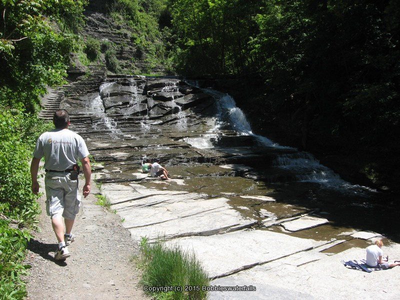
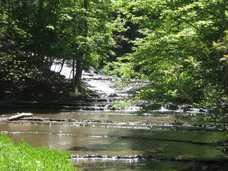
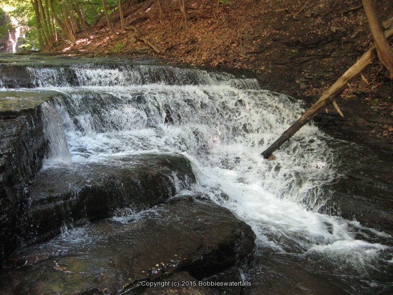
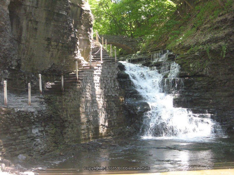
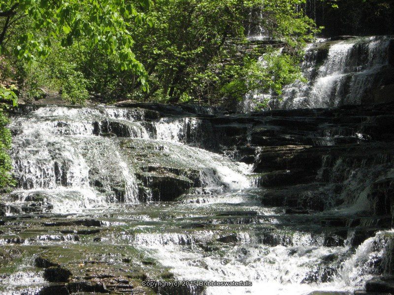
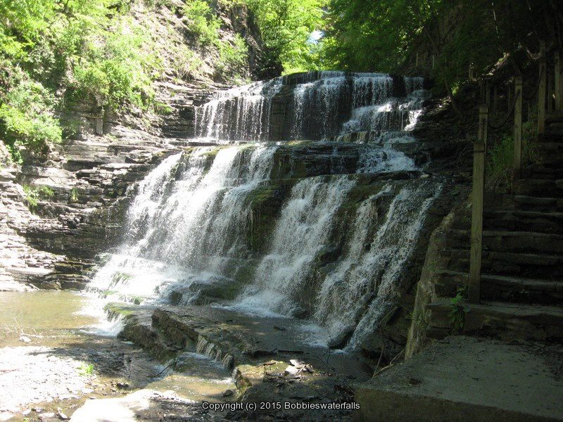
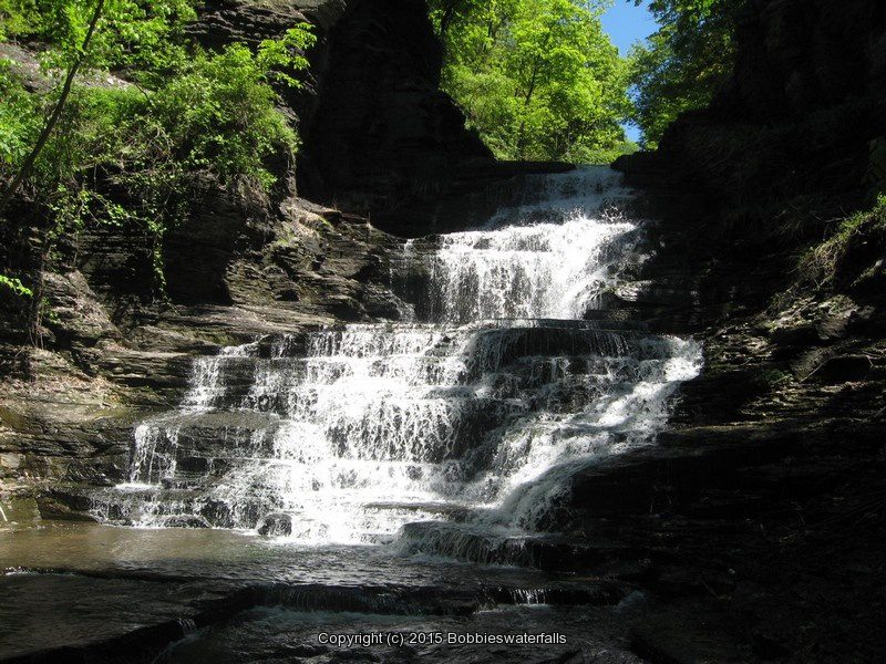
The Cascades, Madison County New York

Day Trip Madison County New York Area 4/6/2014

Day Trip Madison County New York Area 4/6/2014

Day Trip Madison County New York Area 4/6/2014
THIS WAS ONE ONE OF THOSE LAST MINUTE ROAD TRIP DECISIONS.

THERE WAS THE REVISITS TO OXBOW FALLS, STOCKBRIDGE MAIN AND MIDDLE FALLS, REXFORD FALLS AND THE CASCADES WHICH I HAD ALSO CALLED QUARRY ROAD FALLS.

THIS TIME WHEN TRYING TO REVISIT THE CASCADES, THERE WAS POSTED SIGNS EVERYWHERE. THE NEW VIEW IS FROM BELOW IN THE PARKING LOT OF A LOCAL BUSINESS LOOKING UP AT IT.

AFTER MANY YEARS OF LOOKING FINALLY FOUND CLOCKVILLE CREEK FALLS.

MY ROAD WARRIOR AS I CALL MY FRIEND TOOK ME TO THE LOCATIONS ON NORTH STREET, AS I HAD LISTED IT, AS THE STREAM IS UNNAMED AND APPEARS TO BE SEASONAL.

ALSO AFTER MANY TIMES OF VISITING OXBOW FALLS, I NEVER KNEW OF THE OTHER FALLS LOCATED RIGHT THERE BESIDE THE ROAD BEFORE YOU PULL INTO THE PARKING FOR OXBOW. IN FACT THERE IS A PULL OFF PARKING AREA, WHICH IS THE OVERLOOK THERE ON OXBOW ROAD. YOU CAN SEE THE TOP OF THE FALLS THERE OR JUST GO TO THE PARK AND WALK BACK DOWN THE ROAD. THIS MAY OR MAY NOT BE SOMETHING THAT IS THERE ALL THE TIME AND ONLY WITH SPRING RUN OFF. OXBOW ITSELF IS HARD TO CATCH WITH MUCH WATER RUNNING OVER THE FALLS. I HAVE HAD ONE YEAR WHERE OXBOW WAS RUNNING REALLY NICE.

CRANDALL ROAD falls on (CLOCKVILLE CREEK FALLS) MADISON COUNTY NEW YORK

BUTTERMILK FALLS (LINCOLN) MADISON COUNTY NEW YORK

OXBOW falls at MADISON COUNTY NEW YORK

OXBOW FALLS STATE PARK MADISON COUNTY NEW YORK

NORTH STREET falls on MADISON COUNTY NEW YORK

ROUTE 12B falls on MADISON COUNTY NEW YORK

REXFORD FALLS CHENANGO COUNTY NEW YORK

STOCKBRIDGE MAIN FALLS MADISON COUNTY NEW YORK

STOCKBRIDGE MIDDLE FALLS MADISON COUNTY NEW YORK

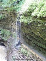
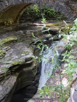
THE CASCADES (aka QUARRY ROAD FALLS) MADISON COUNTY NEW YORK

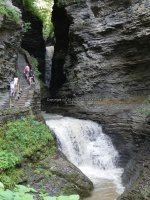
Diamond Falls, Watkins Glen State Park, Schuyler County, New York

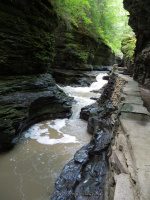
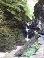
Watkins Glen State Park and Waterfalls

Watkins Glen State Park and Waterfalls

Watkins Glen State Park and Waterfalls
Watkins Glen State Park and Waterfalls Schuyler County, Watkins Glen, New York

Stream or River: Glen Creek flows into Seneca Lake
Elevation: 1010 ft to 490 ft

Dates Visited:
6/13/1991 8/21/2004 8/10/2013

Maps and Resources used to gather information:
Western New York all outdoors Atlas & Field Guide Publication 2008 102 B3      
Watkins Glen Trail Map
200 Waterfalls In Central And Western New York By Rich And Sue Freeman
Finger Lakes Tourism Alliance website
World Waterfall Database
Nyfalls
Falzguy

Directions:
From I-90 W , Take exit 42 to the right onto Rt-14 towards Geneva/Lyons and drive for .7 miles. Take the Rt-14 S ramp to the right towards Rt-96/Geneva/Clifton Springs and drive for 5.8 miles. Turn right onto Castle Street and drive for .2 miles. Turn left onto Main Street and drive for 35.8 miles.                 
              
Length of Hike: 3 Miles Round Trip
Indian Trail 1.5 miles one way
South Rim Trail 4.5 miles one way
Gorge Trail 1.5 miles one way

Parking areas:
Parking N42.37550 W76.87305
Parking #2 N42.37427 W76.89228
South Parking N42.36961 W76.87263


Entrance Cascade Falls
Hike: approx. .2 to .3 miles
Falls: N42.37504 W76.87350
Landmark: Under the Sentry Bridge
Height: 41 ft
Elevation: 534 ft
Type: Cascade

Still Water Gorge
Falls: N42.37469 W76.87398
Landmark: The View Upstream From The Sentry Bridge
Height:
Elevation: 602 ft
Type: Chutes/Flumes/Pools

Minnehaha Falls aka Curtain Cascade Falls
Falls: N42.37451 W76.87488
Landmark: Flows into the heart shaped pool.
Height: 21 ft
Elevation: 657 ft
Type: Cascade

Cavern Cascade Falls
Hike: approx. .3 to .4 mile
Falls: N42.37447 W76.87557
Landmark: Walk Behind Falls And Into Spiral Tunnel
Height: 50 ft
Elevation: 677 ft
Type: Cascade/Flume

Whispering Falls
Falls: N42.37437 W76.87756
Landmark: Located in the section called the Narrows
Height:
Elevation: 734 ft
Type:

Diamond Falls
Hike: approx. .4 to .5 mile
Falls: N42.37432 W76.87786
Landmark: Located in the section called the Narrows.
Height: 12 ft
Elevation: 744 ft
Type:

The Narrows
Falls: N42.37410 W76.87842
Landmark: Lovers Lane
Height:
Elevation: 750 ft
Type: Chutes/Flumes/Pools

Glen Cathedral
Falls: N42.37385 W76.87929
Landmark: Folly Bridge Sylvan Rapids is in this area.
Height:
Elevation: 813 ft
Type: Chutes/Flumes/Pools

]

Sylvan Rapids
Falls: N42.37400 W76.87884
Landmark: This Is In The Section Known As Glen Cathedral
Height:
Elevation: 796 ft
Type: Rapids

Central Cascade Falls
Hike: approx. .6 mile
Falls: N42.37358 W76.88069
Landmark: Pass Thru Tunnel And Walk To Bridge Over It
Height: 60 ft
Elevation: 817 ft
Type: Plunge Cascade

Glen Of Pool Falls
Falls: N42.37344 W76.88140
Landmark: The Glen Of Pools Leads To Rainbow Falls.
Height:
Elevation: 827 ft
Type: Chutes/Flumes/Pools

Triple Cascade Falls
Falls: N42.37272 W76.88258
Landmark:
Height: 26 ft
Elevation: 858 ft
Type: Cascade

Rainbow Falls
Falls: N42.37275 W76.88254
Landmark: You Will Walk Under This Waterfall, stop long enough for a quick cool off!
Height: 95 ft
Elevation: 860 ft
Type:

Pluto Falls
Falls: N42.37231 W76.88484
Landmark: Located In The Section Of Spiral Gorge (Frowning Cliff)
Height: 9 ft
Elevation: 914 ft
Type:

]

Glen Omega Falls
Falls: N42.37218 W76.88519
Landmark:
Height:
Elevation: 925 ft
Type:

Pool Of Nymphs
Falls: N42.37211 W76.88540
Landmark: This Is In The Section Known As Glen Arcadia: Pluto Falls Glen Omega Falls
Height:
Elevation: 927 ft
Type: Chutes/Flumes/Pools

Mile Point Falls aka Arcadia Falls
Falls: N42.37186 W76.88641
Landmark: This marks the 1 mile mark of your hike. This is a stone bridge over this. You can walk over this and take the south rim trail back down or continue on up another half mile and take the shuttle back down.
Height: 12 ft
Elevation: 921 ft
Type: Cascade

Fairies Pool Falls
Falls:
Landmark:
Height:
Elevation: 950 ft
Type: Chutes/Flumes/Pools

Jacobs Ladder
Falls: N42.37139 W76.89098
Landmark: This Is The Section At The Top Of The Gorge Where The Rail Bridge Is
Height:
Elevation: 960 ft
Type: Chutes/Flumes

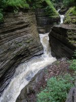
Cascadilla Gorge Park Falls - Stewarts Falls full view

Cascadilla Gorge and Waterfalls – 9 Main Waterfalls

Cascadilla Gorge and Waterfalls – 9 Main Waterfalls

Cascadilla Gorge and Waterfalls – 9 Main Waterfalls
Cascadilla Gorge and Waterfalls
Tompkins County, Ithaca New York

Stream or River: Cascadilla Creek flows into Cayuga Lake Inlet

8 Main Falls and some smaller ones Largest 50 ft
(Cascadilla 20 ft Cascade ) (Cascadilla 80 ft Long S Curved Sloped Cascade ) (Cascadilla 10 ft Cascade) (Cascadilla 20 ft Cascade aka Stewart’s Falls) (Cascadilla Seasonal Channel Cascade) (Cascadilla 20 ft Cascade) (Cascadilla 50′ Multi-level Cascade)(Cascadilla Falls 50 ft cascade aka Giant Staircase)

Dates Visited:
5/25/2008
I have yet to see all the falls here in the park. We only made it to College Ave from Linn Street. I wanted to include all the information I have accumulated since 2008. If the information I provided here is different or wrong, or you have additional information to provide, feel free to let me know.

Maps and Resources used to gather information:
Western New York all outdoors Atlas & Field Guide Publication 2008 104 B1
200 Waterfalls In Central & Western New York “A Finders’ Guide” By Rich And Sue Freeman 2002
World Waterfall Database
Cornell Plantations
New York Waterfalls “A Guide For Hikers & Photographers” by Scott E. Brown 2010

Cascadilla Upper Section

Directions:
From I-81 South in Cortland, Take exit 12 to the right onto US-11/Rt-41 towards Rt-281/Homer/Cortland for .4 miles. Keep left onto Highway 281 ramp for .5 miles. Take the Rt-281 S ramp towards Ithaca for 196 ft. Turn left onto Highway 281 and drive for 11.4 miles. Turn right onto W Main Street and drive for 6.0 miles. Turn left onto Dryden Road and drive for 3.9 miles. Turn left onto Dryden Road and drive .2 miles. Turn right onto Dryden Road and drive .5 miles. Turn left onto Eddy Street for 188 ft. Turn right onto E Buffalo Street for .4 miles. Turn right onto Terrace Place for .1 miles.

Length of Hike:
Cascadilla Gorge Park
Give yourself at least 1 Hour
Approx. .6 miles from the Linn Street Parking to the Stewart Ave bridge and back down.
Approx. .4 miles from the Stewart Ave bridge to the Central Ave bridge and back down.
Moderate with many steps
East Ithaca Recreation Way Trail
Trail 2.4 miles. Surfaces oil and stone

Parking areas: You can access a trail through the gorge from the “Treman Triangle” off of Linn Street in downtown Ithaca and at the trailhead behind the Schwartz Performing Arts Center.
Cascadilla Gorge Falls Parking Linn St and E Court St and Ter Pl                  N42.44285 W76.49463
Cascadilla Gorge Parking 2 Williams St                                                              N42.44235 W76.48966
Cascadilla Upper Area Parking Hwy 366                                                            N42.44421 W76.47286
Cascadilla Upper Parking E Ithaca Recreation Way                                          N42.44144 W76.44987


The landmark I used and called for this next section was, the section of waterfalls between Linn Street and Stewart Ave


Cascadilla 20 ft Cascade (1) in Cascadilla Gorge
Falls: N42.44285 W76.49263
Landmark:
Height: 20 ft
Elevation: 425 ft
Type: Cascade

CASCADILLA GORGE FALLS TOMPKINS COUNTY CENTRAL NEW YORK 5-24-2008_00004.JPG

Long S Curved Sloped 80 ft Cascade in Cascadilla Gorge
Falls: N42.44268 W76.49204
Landmark: Abandoned de Witt Pl
Height: 80 ft
Elevation: 513 ft
Type: Long sloped Cascade

CASCADILLA GORGE FALLS TOMPKINS COUNTY CENTRAL NEW YORK 5-24-2008_00007.JPG

Cascadilla 10 ft Cascade in Cascadilla Gorge
Falls: N42.44292 W76.49098
Landmark: Abandoned de Witt Pl
Height: 10 ft
Elevation: 535 ft
Type: Cascade

CASCADILLA GORGE FALLS TOMPKINS COUNTY CENTRAL NEW YORK 5-24-2008_00013.JPG

——————————————————————————————————————————————

The landmark I used and called for this next section was, the section of waterfalls between Stewart Ave and Central Ave

Stewarts Falls in Cascadilla Gorge aka Cascadilla 20 ft Cascade
Falls: N42.44319 W76.48981
Landmark: Stone Arched Bridge
Height: 20 ft
Elevation: 529 ft
Type: Cascade

CASCADILLA GORGE FALLS TOMPKINS COUNTY CENTRAL NEW YORK 5-24-2008_00016.JPG

Cascadilla Seasonal Channel Cascade in Cascadilla Gorge
Falls: N42.44312 W76.48752
Landmark:
Elevation: 600 ft
Type: Cascade

CASCADILLA GORGE FALLS TOMPKINS COUNTY CENTRAL NEW YORK 5-24-2008_00025.JPG

Cascadilla 20 ft Cascade (2) in Cascadilla Gorge
Falls: N42.44318 W76.48748
Landmark:
Height: 20 ft
Elevation: 600 ft
Type: Cascade

CASCADILLA GORGE FALLS TOMPKINS COUNTY CENTRAL NEW YORK 5-24-2008_00027.JPG

Cascadilla 50 ft Multi-level Cascade in Cascadilla Gorge
Falls: N42.44314 W76.48625
Landmark: cross over bridge
Height: 50 ft
Elevation: 650 ft
Type: Multi-level Cascade

CASCADILLA GORGE FALLS TOMPKINS COUNTY CENTRAL NEW YORK 5-24-2008_00032.JPG


Cascadilla Falls in Cascadilla Gorge aka Giant Staircase
Falls: N42.44311 W76.48535
Landmark:
Height: 50 ft
Elevation: 675 ft
Type: Staircase Cascade

CASCADILLA GORGE FALLS TOMPKINS COUNTY CENTRAL NEW YORK 5-24-2008_00035.JPG


Judd Falls (Ithaca) Additional resources is stating the falls are in a different location.
Falls: N42.44272 W76.47719
Possible Pine Tree Road N42.442640 W76.469761
Landmark:
Height: 12 ft
Type: Series

Waterfall                                                                                                                 Location            Elevation
1 Cascadilla Gorge Falls Parking       Linn St and E Court St and Ter Pl         N42.44285 W76.49463  426 ft
2 Cascadilla Cross over Bridge                                                                            N42.44293 W76.49413
3 Cascadilla 20 ft Cascade                                                                                    N42.44285 W76.49263
4 Cascadilla Long Curved Sloped Cascade                                                        N42.44268 W76.49204 513 ft
5 Cascadilla 10 ft Cascade                                                                                    N42.44292 W76.49098 535 ft
6 Cascadilla 20 ft Cascade (Stewart’s Falls)                                                        N42.44319 W76.48981 529 ft
7 Cascadilla Stone Arched Bridge                                                                        N42.44339 W76.48930
——————————————————————————————————————————————
8 Cascadilla 4 ‘ cascade                                                                                         N42.44324 W76.48820 577 ft
9 Cascadilla 2′ narrow drop w/long wide cascade                                           N42.44319 W76.48784
10 Cascadilla Seasonal Channel Cascade                                                          N42.44312 W76.48752
11 Cascadilla 20 ft Cascade Falls                                                                         N42.44318 W76.48748
12 Cascadilla 2 cross over bridge                                                                        N42.44314 W76.48638
13 Cascadilla 50′ Multi-level Cascade                                                                 N42.44314 W76.48625
14 Cascadilla Falls 50 ft cascade aka Giant Staircase                                      N42.44311 W76.48535
——————————————————————————————————————————————
15 Cascadilla Trolly Footbridge Falls                                                                  N42.44306 W76.48421 730 ft
16 Cascadilla Eddy Dam Footbridge Falls                                                         N42.44227 W76.48067          
17 Judd Falls wwdb                                                                                               N42.44272 W76.47719 804 ft
18 Cascadilla Dwyer Bridge and Dam and Falls                                              N42.44323 W76.47661
——————————————————————————————————————————————
19 Judd Falls (Ithaca) Hwy 366 and Judd Falls Rd                                           N42.44396 W76.46974 857 ft
20 Judd Falls Bridge 399 Pine Tree Rd                                                             N42.44262 W76.46972

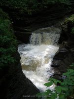
Taughannock Falls, Tompkins County, New York

Taughannock Falls State Park – Taughannock Creek & Waterfalls

Taughannock Falls State Park – Taughannock Creek & Waterfalls

Taughannock Falls State Park – Taughannock Creek & Waterfalls
Taughannock Falls State Park, Tompkins County, New York, Town of Ulysses
Stream or River: Taughannock Creek flows into Cayuga Lake

Other named waterfalls: Taughannock Lower Falls, Taughannock Upper Falls There are several more smaller falls.

Dates Visited: 7/15/2006 9/02/2006 5/6/2012

Maps and Resources used to gather information:
Western New York all outdoors Atlas & Field Guide Publication 2008 103 A5
200 Waterfalls In Central & Western New York “A Finders’ Guide” By Rich And Sue Freeman 2002
New York Waterfalls “A Guide For Hikers & Photographers” by Scott E. Brown 2010
Taughannock Falls State Park
Taughannock Falls State Park Map
falzguy
nyfalls
American Whitewater
American Whitewater

Directions:
From the New York State Thruway, take Exit 41 to 318 East for 4 miles. Head South on Route 89 for 35 miles.

Length of Hike:
Gorge Trail: 3/4 mile Easy
South Rim Trail: 1 1/8 mile Moderate
North Rim Trail: 1.5 mile Moderate

Parking areas:
Podunk Road Put In
N42.52331 W76.66265
Rt 96 bridge take out
N42.52989 W76.63718
Parking 4 Taughannock Park Road
N42.53058 W76.62130
Parking 3 Jacksonville Road
N42.53201 W76.61633
Falls Overlook Parking Taughannock Park Road
N42.53859 W76.60858
Parking Gorge Road
N42.54370 W76.59780

Taughannock Falls
Falls: N42.53533 W76.61067
Landmark: Crossover bridge at the base of the falls
Height: 215 ft
Elevation: 675 ft
Type: Plunge

Taughannock Lower Falls
Falls: N42.54473 W76.60126
Height: 15 ft
Elevation: 425 ft
Type: Step Cascade

Taughannock Upper Falls
Falls: N42.53236 W76.61586
Landmark: Railroad Trail
Height: 100 ft span
Elevation: 725 ft to 700 ft
Type: Narrow Cascade

From the Podunk Road to Rt 96 bridge section
Utilizing google imagery and the whitewater route, there is mention of description of 2 main sections. The following is approximate locations. The others may only be small rapids.

Falls Class 3+(4) double-ledge drop (8 ft)100+ft slide.  
N42.52793 W76.65260 900 ft
Falls                      N42.53047 W76.65101 889 ft
Falls                      N42.53071 W76.64827    869 ft
Falls                      N42.53224 W76.64458    865 ft
Falls                      N42.53216 W76.64284    866 ft
Falls  Class 3+(4) drop
N42.53162 W76.64186    866 ft
Falls                      N42.53081 W76.64084    847 ft
Falls                      N42.52991 W76.63889    852 ft
Falls                      N42.52965 W76.63788    850 ft
——————————————————————————————————-
From Rte. 96 bridge to Jacksonville Road section
Falls                      N42.52959 W76.63641    859 ft
Falls                      N42.52926 W76.63071    842 ft
Falls                      N42.52926 W76.62871    844 ft
Falls                      N42.52914 W76.62734
Falls                      N42.53309 W76.61734
Falls                      N42.53241 W76.61691    810 ft
——————————————————————————————————
From Jacksonville Road down to Highway 89
Falls                                                    N42.53237 W76.61589
Railroad Trail                                    N42.53247 W76.61556   775 ft
Taughannock Upper Falls           N42.53329 W76.61396
The next 2 maybe the Triple Drop section
Falls                                                    N42.53487 W76.61199
Falls                                                    N42.53528 W76.61105   704 ft
Tompkins Taughannock Falls    N42.53559 W76.61044
Crossover bridge                             N42.53689 W76.60901   573 ft
Falls                                                    N42.53872 W76.60363   533 ft
Falls                                                    N42.54332 W76.60238   414 ft
Taughannock Lower Falls           N42.54496 W76.60075   404 ft

Waterfall on Nowadaga Creek, Herkimer County, New York

Nowadaga Creek,Tributaries to Falls on, (4 Waterfalls)

Nowadaga Creek,Tributaries to Falls on, (4 Waterfalls)

Nowadaga Creek Tributaries, Falls on – 4 Waterfalls

Location:
Danube Twn
First Visit:
3/6/2010
Region:
Central
County:
Herkimer
Gps of Parking:
N42.99568 W74.78874
Stream/River/Watershed:
Nowadaga Creek, Tributaries to
Height of Falls/Type:
30 ft, 40 ft, 15 ft, 10 ft, Cascades
Elevation:
400 ft to 500 ft
Level of Difficulty/Hiking Distance:
Roadside
My Resource:
Book Resource:
Mohawk Region Waterfall Guide “From the Capital District to Cooperstown & Syracuse” By Russell Dunn 2007
Nearest Intersection:
Hwy 5 South and Creek Rd
Directions:
From I-90 W, at Indian Castle, exit 29A take Rt-169 towards Little Falls/Dolgeville for .8 miles. Turn left onto Hwy 169 and drive .4 miles. Turn left onto Hwy 5s and drive for 2.3 miles. Turn right onto Creek Rd and drive .8 miles to the first waterfall. Continue south on Creek Rd for .8 miles to waterfall 2. Continue south on Creek Rd for another .4 miles to falls 3. Continue south on Creek Rd for .8 miles to falls 4.
Comments/Notes:
I first visited this location in March of 2010, and then did a revisit in October of 2014. Back in 2010 the bridge was open and I believe that I seen the 4 waterfalls as indicated in the resources. On this day I traveled from north to south.
In October of 2014, the bridge was out and I did not get to the first waterfall which was north of the bridge as we were traveling up from the south to north. From the intersection of 5S and Creek Rd at .8 miles, is Falls 1, a 30 ft Cascade N42.99568 W74.78874. At 2.0 miles from the intersection of 5S and Creek Rd, is falls 2, a 40 ft Cascade N42.98710 W74.79959. Go a few hundred feet further is falls 3, a 15 ft cascade N42.98804 W74.80636. At 2.8 miles is falls 4, a 10 ft Cascade N42.98061 W74.81414.

Hinckley Reservoir Dam, Herkimer County New York

Hinckley Reservoir – 2 Dams

Hinckley Reservoir – 2 Dams

Hinckley Reservoir – 2 Dams

AKA:
—–
Location:
Russia Twn side
First Visit:
5/22/2009
Region:
Central
County:
Herkimer
Gps of Falls:
N43.31145 W75.10820
Gps of Parking:
N43.31068 W75.10938
Stream/River/Watershed:
Hinckley Reservoir
Height of Falls/Type:
Dam
Elevation:
1196 ft
Level of Difficulty/Hiking Distance:
Roadside
My Resource:
Drive by
Nearest Intersection:
Hinckley Rd and Cady Rd
Directions:
From Hwy 12, going north, in Trenton, Take the Rt-365 ramp to the right towards Barneveld/Prospect/Rome and drive for .2 miles. Turn right onto Hwy 365 and drive for 4.3 miles. Turn right onto South Side Rd and drive for .1 miles. Turn left onto Cady Rd and drive for .3 miles.

For additional information on the individual locations please click on the following links
Hinckley Reservoir Dam #1
Hinckley Reservoir Dam #2

Hinckley Reservoir Dam, Herkimer County New York

Hinckley Reservoir Dam, Herkimer County New York

Saint Mary's Falls, Otsego County, New York

February 1 2014 New Pages Posted

February 1 2014 New Pages Posted

February 1 2014 New Pages Posted
The following are now available

Judd Falls in Otsego County, New York

Saint Marys Falls in Otsego County, New York

Stoney Brook Falls, Oswego County, New York

11-2-2014 New Additions and Updates

11-2-2014 New Additions and Updates

11-2-2014 New Additions and Updates
THE FOLLOWING LOCATIONS HAVE BEEN ADDED

FALLBROOK FALLS in ONEIDA COUNTY

STONEY BROOK FALLS in OSWEGO COUNTY
These are located at The High Braes Refuge Campgrounds

JENNY CREEK FALLS in ST LAWRENCE COUNTY

Fallbrook Falls, Oneida County, New York

Fallbrook Falls (Annsville Town)

Fallbrook Falls (Annsville Town)

Fallbrook Falls – 5 Waterfalls

AKA:
The 5 Cascades
Location:
Annsville Twn
First Visit:
10/26/2008
Region:
Central
County:
Oneida
Park/Area:
—–
Gps of Falls:
N43.34828 W75.58355
Gps of Parking:
N43.35082 W75.58912
Gps of Trailhead:
—–
Trail Name/Reference to:
—–
Landmark:
Fallbrook Stables
Stream/River/Watershed:
Fallbrook
Height of Falls/Type:
Various (5) Falls Total
Elevation:
900-843 ft
Level of Difficulty/Hiking Distance:
approx. 1 mile rt
Wikiloc:
—–
Whitewater Rte/Canoe Rte Map:
Maps:
Trails Websites:
—–
My Resource:
Friends
Book Resource:
—–
Brochures/Travel Guides/Visitor Guides:
—–
Additional Information:
Photos And Information I Contributed To or Posted To Other Websites:
Northern New York Waterfalls, Digthefalls
Nearest Intersection:
Slater Rd And Coal Hill Rd
Directions:
From I-90 W, in Westmoreland, Take exit 32 to the right towards Rt-233/Westmoreland/Rome and drive for .7 miles. Turn right onto Cider Street and drive for .1 miles. Turn right onto Highway 233 and drive for 5.7 miles. Take the Rt-49 W/Rt-69 W/Rt-365 W ramp to the left  and drive for .4 miles. Take the Rt-49 W/Rt-69 W ramp to the right towards Rt-26 N/Rt-46/Downtown Rome and drive for 1.3 miles. Keep left onto Erie Blvd E and drive for 10.5 miles. Turn right onto Main Street  and drive for .7 miles. Turn right onto Coal Hill Road and drive for 3.6 miles.             
Comments/Notes:
Park on the side of the road just a little north from the intersection of Slater Road and Coal Hill Road and then walk to the back of the field. Go right and follow the field edge down and into the second field. On your left watch for a well worn path. You will hear the river along the way.

Fallbrook Falls #1, Annsville
Fallbrook Falls #2, Annsville
Fallbrook Falls #3, Annsville
Fallbrook Falls #4, Annsville
Fallbrook Falls #5, Annsville

Van Hornsville, Cheesebox Falls

Van Hornsville Falls, Robert B Woodruff Outdoor Learning Center – 7 Waterfalls

Van Hornsville Falls, Robert B Woodruff Outdoor Learning Center – 7 Waterfalls

Van Hornsville Falls, Robert B Woodruff Outdoor Learning Center – 7 Waterfalls
at Owen D Young School

Location:
Stark Twn
First Visit:
3/6/2010
Region:
Central
County:
Herkimer
Park/Area:
Robert B Woodruff Outdoor Learning Center
Gps of Falls:
N42.89701 W74.82514
Gps of Parking:
N42.89659 W74.82559
Landmark:
Owen D Young School
Stream/River/Watershed:
Otsquago Creek
Elevation:
1114 ft
Level of Difficulty/Hiking Distance:
Main Loop .64 Mile and Additional Side Trails .32 Miles
My Resource:
Mohawk Region Waterfall Guide “From the Capital District to Cooperstown & Syracuse” By Russell Dunn 2007
Book Resource:
Mohawk Region Waterfall Guide “From the Capital District to Cooperstown & Syracuse” By Russell Dunn 2007
Nearest Intersection:
Rte 80 and Wiltse Hill Rd
Directions:
From I-90 E, in Canajoharie, Take exit 29 to the right towards Rt-10/Canajoharie/Sharon Springs and drive for .5 miles.Turn right onto E Main St and drive for 3.6 miles. Turn left onto Main St and drive for .2 miles. Turn right onto Main St and drive for 11.5 miles. Turn left onto Tilyou Rd for 187 ft.
Comments/Notes:
See below

For more information and photos on the individual locations please click on the following links

Van Hornsville Waterfalls – Barbara Smit Young Arboretum Waterfall
Van Hornsville Waterfalls – Cheese Box Factory and Falls
Van Hornsville Waterfalls – Creamery Falls
Van Hornsville Waterfalls – Dave’s Look Out Falls at
Van Hornsville Waterfalls – Kelly Falls
Van Hornsville Waterfalls – Main Falls and Tufa Caves
Van Hornsville Waterfalls – Saw Mill Site and Falls

Van Hornsville Waterfalls - Dave's Look Out Falls at, Herkimer County, New York

Van Hornsville Waterfalls – Dave’s Look Out Falls at, Herkimer County, New York