Category Archives: Waterfalls of the Eastern Region of New York State

Waterfalls of New York State 100+ Challenge, Dig the Falls, part 2, The Hudson Valley Region

Waterfalls of New York State 100+ Challenge, Dig the Falls, part 2, The Hudson Valley Region For more information on this challenge click here To purchase “Waterfalls of New York State”, click here  To purchase “A Waterfall Guide to Letchworth State Park” by Scott A. Ensminger and Douglas K. Bassett, click here

The following list is the first set of locations listed in the book “Waterfalls of New York State” by Scott A. Ensminger (Western New York Waterfall Survey), David J. Schryver (Northern New York Waterfalls) and Edwards M. Smathers (Dig the Falls) Be sure to check them out! I myself have personally contributed a lot of waterfall location information to both Mr. Edward Smathers and Mr. David Schryver. I am currently a team member with “Dig the Falls”. The simple rules of this challenge, is to visit 100 waterfall locations in the book. One location may have several waterfalls, but counts as one location. Click on the links (I have visited) in the boxes below, which will take you to additional information pages.

As you will notice, I really have to work on my Southern Waterfalls! Jump on over to Digthefalls for additional information on the other waterfalls listed here below.

Additional Falls in location, or close by
Waterfall Name, info
Date First visited
County
…..
Artist Falls
Winter Clove
Platform View
15′
…..
Greene
additional falls
Countryman Kill, Falls #1
3.3 rt public
small 5′ cascade on top with a 10′ plunge waterfall at the bottom
…..
Greene
additional falls
Countryman Kill, Falls #2
3.3 rt public
14′ plunge
…..
Greene
additional falls
Countryman Kill, Falls #3
3.3 rt public
15′ plunge
…..
Greene
additional falls
Countryman Kill, Falls #4
3.3 rt public
26′ plunge
…..
Greene
additional falls
Countryman Kill, Falls #5
Countryman Kill
possible private
19′ cascade
…..
Greene
additional falls
Winter Clove Falls
Winter Clove
3.6 mile rt
70′ Total
…..
Greene
Kaaterskill Falls
Kaaterskill Clove/Lake Creek Ravine
aka Catterskill Falls, Cauterskill Falls
Roadside view/1.5 mile rt
230′ Total
Visited 8/18/2013
Greene
additional falls
Bastion Falls
Kaaterskill Clove/Lake Creek Ravine
aka Sebation Falls, Horse shoe Falls, Rip Van Winkle Falls
Roadside View/.2 mile walk along the roadside
71′ Cascade
Visited 8/18/2013
Greene
Plattekill Falls
Platte Clove
aka Plaaterskill Falls, Pomeroy Falls
.2 mile/several small cascades above
75′ (some sources state 51′)
Visited 8/18/2013
Greene
additional falls
Black Chasm Falls
Platte Clove
aka Everits Cascade, Platte Clove Falls
5.5 miles Rt for all waterfalls on the Plattkill Creek
100′
…..
Greene
additional falls
Blue Hole Falls
Platte Clove
5.5 miles Rt for all waterfalls on the Plattkill Creek
…..
Greene
additional falls
Bridal Veil Falls
Platte Clove
Hard Dangerous
Approx. 1.8 Mile Rt/Can be seen best by overlook at
Hells Hole N42.13066 W74.08354
Trailhead N42.13323 W74.0859490′
Visited 8/18/2013
Greene
additional falls
Evergreen Falls
Platte Clove
aka Gray Rock Falls, Green Falls, Lower Platte-kill Falls
Roadside View/5.5 miles Rt for all waterfalls on the Plattkill Creek
40′
…..
Greene
additional falls
Gray Rock Falls
Platte Clove
aka Evergreen Falls, Green Falls, Lower Platte-kill Falls
Gps location is based upon gathered sorces
5.5 miles Rt for all waterfalls on the Plattkill Creek
…..
Greene
additional falls
Green Falls
Platte Clove
aka Evergreen Falls, Gray Rock Falls, Lower Platte-kill Falls, The Ghost
Gps location is based upon gathered sorces
5.5 miles Rt for all waterfalls on the Plattkill Creek
20′ to 50′ approx
…..
Greene
additional falls
Grey Rock Falls
Platte Clove
aka Horseshoe Bend Falls
Roadside View/5.5 miles Rt for all waterfalls on the Plattkill Creek
…..
Greene
additional falls
Hells Hole Falls #1
Platte Clove
aka The Devils Kitchen Falls
Roadside Views/.2 mile Rt
Falls in Close Proximity
4′
…..
Greene
additional falls
Hells Hole Falls #2
Platte Clove
aka The Devils Kitchen Falls
Roadside Views/.2 mile Rt
Falls in Close Proximity
cascade
…..
Greene
additional falls
Hells Hole Falls #3
Platte Clove
aka The Devils Kitchen Falls
Roadside Views/.2 mile Rt
4′-5′ cascade
…..
Greene
additional falls
Japanese Falls
Platte Clove
5.5 miles Rt for all waterfalls on the Plattkill Creek
20’/20’/80′
…..
Greene
additional falls
Old Mill Falls
Platte Clove
.1 mile
10′ Total
Visited 8/18/2013
Greene
additional falls
Pomeroy Falls
Platte Clove
According to resources, this waterfall is stated to be one of the three largest falls,
based on the order of waterfalls, this maybe an aka of Plattekill Falls.
5.5 miles Rt for all waterfalls on the Plattkill Creek
Individual GPS unknown…..
…..
Greene
additional falls
Rainbow Falls
Platte Clove
Roadside view
5.5 miles Rt for all waterfalls on the Plattkill Creek
50′
…..
Greene
additional falls
Rainbow Falls, Lower
Platte Clove
aka Hell Hole Falls, Japanese Falls, Upper
Roadside view/5.5 miles Rt for all waterfalls on the Plattkill Creek
20’/20’/80′ Total with Japanese Falls
…..
Greene
additional falls
Red Falls, Upper
Platte Clove
aka Red Rock Falls, Honoulu Falls, Twins Falls, Reds Falls, Carns Falls
5.5 miles Rt for all waterfalls on the Plattkill Creek
…..
Greene
additional falls
Red Rock Falls, Lower
Platte Clove
aka Honoulu
Public – State Land
35′
…..
Greene
additional falls
Red Rock Falls, Upper
Platte Clove
aka Gray Rock Falls
Roadside View
25′
…..
Greene
additional falls
Rocky Rapids
Platte Clove
Location is based on gathered resources
5.5 miles Rt for all waterfalls on the Plattkill Creek
Individual GPS unknown
…..
Greene
…..
High Falls
High Falls Conservation Area
1.5 mile loop
80′
…..
Columbia
additional falls
Agawamuck Falls
High Falls Conservation Area
aka Ackawamack Falls
http://clctrust.org/discover/public-conservation-areas/
discover-our-places-high-falls/
70′-80′
…..
Columbia
additional falls
Unnamed Falls
High Falls Conservation Area
Part of Dam, Philmont Dam
1.5 mile loop
15′-20′
…..
Columbia
…..
Bash Bish Falls
Taconic State Park
5 mile – crossing into MA
80′ Total
…..
Columbia
additional falls
Copake Falls
Taconic State Park
https://parks.ny.gov/parks/attachments/
TaconicCopakeFallsAreaTrailMap-NorthernSection.pdf/
Individual GPS unknown
……..
Columbia
High Falls
High Falls Historic District
aka Great Falls
.1 mile
25′
…..
Ulster
Awosting Falls
Minnewaska State Park
Inside State park
.6 mile/Designated Carriage Roads/Red 1.4
https://parks.ny.gov/parks/attachments/
SamPointAreaMinnewaskaStateParkTrailMap.pdf60′
…..
Ulster
additional falls
Coxing Kill, Falls on Lower
Minnewaska State Park
…..
Ulster
additional falls
Coxing Kill, Falls on Tributary to
Minnewaska State Park
…..
Ulster
additional falls
High Peters Kill Waterfall
Minnewaska State Park
https://www.alltrails.com/explore/recording/high-peters-kill-trail–33…..
…..
Ulster
additional falls
Rainbow Falls
Minnewaska State Park/Sam’s Point
3.4 Miles 1-Way
75′
…..
Ulster
additional falls
Sanders Kill, Falls on
Minnewaska State Park
6 mile rt/1.6 mile rt
8’/4′
…..
Ulster
additional falls
Saw Mill Falls
Minnewaska State Park
1.4 Mile Rt
18′
…..
Ulster
additional falls
Split Rock Falls
Minnewaska State Park
aka Coxing Kill Falls
.1 mile
8′
…..
Ulster
additional falls
Stony Kill Falls
Minnewaska State Park
5 mile
135′ Total
…..
Ulster
…..
Verkeerder Kill Falls
Sams Point preserve
aka Kittykill Falls, Kaidy Kill Falls, Katy Kill Falls
5.6 mile RT
Fee Required
72′
…..
Ulster
additional falls
South Gully, Diana’s Pool
Sam’s Point/South Gully
Approx 6 mile Rt
…..
Ulster
additional falls
South Gully, Falls on #01
Sam’s Point/South Gully
Approx 6 mile Rt
…..
Ulster
additional falls
South Gully, Falls on #02
Sam’s Point/South Gully
Approx 6 mile Rt
…..
Ulster
additional falls
South Gully, Falls on #03
Sam’s Point/South Gully
Approx 6 mile Rt
…..
Ulster
additional falls
South Gully, Falls on #04
Sam’s Point/South Gully
Approx 6 mile Rt
…..
Ulster
…..
Dover Stone Church Cave Falls
.5 mile
35′
…..
Dutchess
additional falls
Seven Wells, The
Access not yet verified
…..
Dutchess
…..
Fitzgerald Falls
.3 mile
Appalation Trail
30′
…..
Orange
Russell Brook Falls
Cherry Ridge Wild Forest
1 mile rt
30’/10′
Visited 8/10/2014
Delaware
additional falls
Russell Brook Falls, Upper
Cherry Ridge Wild Forest
1 Mile rt
30’/10′
Visited 8/10/2014
Delaware
…..
Buttermilk Falls #1.
Private/No Access
25′
…..
Chenango
additional falls
Buttermilk Falls (New Berlin)
Roadside
25′, Cascade
Visited 8/8/2014/not in same location as the other 4 falls, which are farther north
Chenango
additional falls
Buttermilk Falls #2
Private/No Access
25′
…..
Chenango
additional falls
Buttermilk Falls #3
Private/No Access
25′
…..
Chenango
additional falls
Buttermilk Falls #4
Private/No Access
25′
…..
Chenango

Waterfalls of New York State 100+ Challenge, Dig the Falls part 1, The Capital Region

Waterfalls of New York State 100+ Challenge, Dig the Falls, part 1, The Capital Region

For more information on this challenge click here

To purchase “Waterfalls of New York State”, click here 

To purchase “A Waterfall Guide to Letchworth State Park” by Scott A. Ensminger and Douglas K. Bassett, click here

The following list is the first set of locations listed in the book “Waterfalls of New York State” by Scott A. Ensminger (Western New York Waterfall Survey), David J. Schryver (Northern New York Waterfalls) and Edwards M. Smathers (Dig the Falls) Be sure to check them out! I myself have personally contributed a lot of waterfall location information to both Mr. Edward Smathers and Mr. David Schryver. I am currently a team member with “Dig the Falls”.

The simple rules of this challenge, is to visit 100 waterfall locations in the book. One location may have several waterfalls, but counts as one location. Click on the links (I have visited) in the boxes below, which will take you to additional information pages.

Waterfall Name, info
Additional Falls in location, or close by
County
Date First visited
Photo 

Mill Park Falls

25′ Total, (small dam, upper 6-8′ ledges, footbridge small cascade, 10′ main cascade)
Roadside views, or short walk to lower portion of the park.

…..

Warren County

7-13-2010
 

Rockwell Falls

10 ft, horseshoe cascades
Roadside views

…..
Borders Saratoga and Warren County
7-13-2010
 

Beecher Creek Falls

(Home of the historical 1879 Copeland Covered Bridge)
20 ft, Cascade, Ledges
Roadside views
 

…..


Saratoga County
5-10-2015
…..


Beecher Creek Falls #02

Up The Road From Beecher Creek Falls.
For this location go onto Pucker Street. It is a dead end road. Go to the end, which you can see right from the four corner intersection.

Saratoga County
5-10-2015

Snook Kill, Falls on

55-60 ft Total
Roadside views

…..
Saratoga County
7-13-2010
 

Dionondahowa Falls

Once nicknamed Devil’s Caldron, and the plunge pool Hell’s Hole, by locals
50 ft to 60 ft Ribbon Cascade
.2 mile walk on uneven ground to several lookouts and observation decks


…..
Washington County
7-13-2010

Buttermilk Falls, Lower
Private property, do not trespass

…..


Rensselaer County
SIDE NOTE: this is actually Buttermilk Falls, error in book


2/22/2014
15 ft, cascade, drop
Roadside views
Rensselaer County
2/22/2014
….. 

Robert B Woodruff Outdoor Learning Center

Main Loop .64 Mile and Additional Side Trails .32 Miles

…..


Herkimer County
3-6-2010
 
…..
Herkimer County
3-6-2010
 
…..

Cascade Falls

10 ft Block

Herkimer County
3-6-2010
….. 
…..


Herkimer County
3-6-2010
 
…..


Creamery Falls

50 ft, Staircase Cascade

Herkimer County
3-6-2010
 
…..
Herkimer County
3-6-2010
 
…..
Herkimer County
3-6-2010
 
…..
Herkimer County
3-6-2010
 

Canajoharie Falls
Wintergreen Park

…..
Montgomery County
3-17-2011
 
…..
Montgomery County
3-17-2011
 
…..
Montgomery County
3-17-2011
 

Yatesville Falls

Yatesville Falls State Forest
Also known as Buttermilk Falls and Vrooman’s Falls 
45 ft, Cascade
Short from the parking area or a 2.4 mile rt from main road

…..


Montgomery County
5-30-2016
 
Plotter Kill Nature Preserve
Plan on spending 2 hours or more exploring this park
…..


Schenectady County
2/22/2014
 
…..

Plotter Kill Falls
Upper Falls 60 ft, Lower Falls 40 ft

Schenectady County
2/22/2014
….. 
…..

Rynex Creek Falls
40 ft

Schenectady County
2/22/2014
….. 
…..


Albany County
5/30/2016
 

Cohoes Falls

Falls View Park
65-70 ft, Curtain

…..


Albany County
10/21/2013
 

Mount Ida Falls

Also known as Wire Mill Falls and Poesten Kill High Falls
175 ft Multi-tiered Cascade

…..


Rensselaer County
2/23/2014
 

Barberville Falls

The Nature Concervancy’s Barberville Nature Preserve
92 ft Tiered Cascade

…..


Rensselaer County
2/23/2014
 
John Boyd Thacher Park
…..
Albany County
10-14-2016
 
…..


Outlet Falls
100 ft

Albany County
10-14-2016
 
…..


Minelot Falls
(Also known as Big Falls and Indian Ladder Falls)
116 ft, Ribbon

Albany County
10-14-2016
 

Hannacroix Creek Preserve, Cascade at
(Originally called Ravena Falls and now also known as Hannacroix Ravine Falls)
30 ft Curtain Cascade

…..
Borders Greene and Albany Counties
No
….. 

Rensselaerville Falls
Edmund Niles Huyck Preserve
60′ to 100′ Cascade

…..
Albany County
No
…. 

Mine Kill Falls

Mine Kill State Park
20 ft Upper 30 ft Middle 20 ft Lower Cascades

…..


Schoharie County
8/22/2014


John Boyd Thacher Park

John Boyd Thacher Park

John Boyd Thacher Park
It is off to Thacher park for a waterfall meet up tomorrow. In hopes of good weather and great sights. Digthefalls team!!

Little Chuctanuanda Falls, Montgomery County, NY now Private

Little Chuctanuanda Falls, Montgomery County, NY now Private

Little Chuctanuanda Falls, Montgomery County, NY now Private
Please take note that LITTLE CHUCTANUANDA FALLS, is now private property. I just received information to reflect this. Remember folks that we need to keep in mind landowners wishes!!

Krums Falls, Schoharie County, New York

Updated Waterfall Location in Fulton Town, Schoharie County, New York 3-27-2016

Updated Waterfall Location in Fulton Town, Schoharie County, New York 3-27-2016

Updated Waterfall Location in Fulton Town, Schoharie County, New York 3-27-2016
Krum’s Falls (Two Waterfalls)
aka Butts Falls
Historic Marker Indian Trail
Keyserkill/Schoharie Creek
Each Waterfalls is approx. 15 ft to 20 ft
Cascades
Roadside
The tops are seen from the bridge

Tributary to Panther Creek (falls on)
Parking #1 N42.55151 W74.49314
Parking #2 N42.55917 W74.48534
Burnt-rossman Hill State Forest
Burnt-rossman Hill State Forest Sign “Long Path” and Panther Creek Public Fishing Sign “Long Trail, Aqua Blazes”
Tributary to Panther Creek/Schoharie Creek

(15 ft Cascade) (25 ft Plunge) (30 ft Cascade) (12 ft Ledge) (20 ft Drop) (8 ft fall) (40 ft total of small falls and cascades) ( 4-5 more 5 ft Ledges) (5 ft Cascade) (15 ft Ledge) (5 ft Drop)

Approx. .4 Miles Roundtrip

Tributary to Panther Creek (falls on) Schoharie NY 8-22-2014_00003.JPG

High Street Bridge, Waterfall, Schoharie County, New York

Updated Waterfall Location in Richmondville Town, Schoharie County, New York 3-25-2016

Updated Waterfall Location in Richmondville Town, Schoharie County, New York 3-25-2016

Updated Waterfall Location in Richmondville Town, Schoharie County, New York 3-25-2016
High Street Bridge Falls (Bear Gulch Stream)
Town Of Richmondville Garage
Bear Gulch Stream/Cobleskill Creek
Falls 12 ft Dam 3 ft
Roadside

Although listed in the book as roadside, at the time we were here, the bridge was closed off with no access to either end or below the falls. There are barriers and signs all over for no trespassing. The only view is from the edge of the road just before the garage but no clear view of the complete falls.

HIGH STREET BRIDGE FALLS SCHOHARIE COUNTY EASTERN NEW YORK 5-26-2013_00002.JPG

Burden Pond Environmental Park Waterfalls, Rennselaer County, New York

Burden Pond Environmental Park Waterfalls 5-14-2015

Burden Pond Environmental Park Waterfalls 5-14-2015

Burden Pond Environmental Park Waterfalls 5-14-2015

Got together today with John Haywood and TJ Kennedy to check the waterfalls located in the Burden Pond Environmental Park. We had a good turn out!!

This first location is located at the south end of Burden pond.

Burden Pond Environmental Park Waterfalls 5-14-2015

Burden Pond Environmental Park Waterfalls 5-14-2015

Burden Pond Environmental Park Waterfalls 5-14-2015

Burden Pond Environmental Park Waterfalls 5-14-2015

Burden Pond Environmental Park Waterfalls 5-14-2015

Burden Pond Environmental Park Waterfalls 5-14-2015

These next several falls are all located between Burden Pond and Smarts Pond. There are a few more there we missed, hope to get back and get them. Two of the following are listed as being Upper and Lower Burden Falls. Just not sure which two.

located between Burden Pond and Smarts Pond

located between Burden Pond and Smarts Pond

located between Burden Pond and Smarts Pond

located between Burden Pond and Smarts Pond

the second set

OLYMPUS DIGITAL CAMERA

the third set

OLYMPUS DIGITAL CAMERA

and the forth

OLYMPUS DIGITAL CAMERA

This next set is located a short distance down from the Burden Pond Dam, shown in the first couple of photos above. The actual named Burden Falls, is located above the dam shown below, and is on private property. We hope to obtain permission for access.

OLYMPUS DIGITAL CAMERA

OLYMPUS DIGITAL CAMERA

OLYMPUS DIGITAL CAMERA

OLYMPUS DIGITAL CAMERA

Barberville Falls, Rennselaer County, New York

Road Trip to Rensselaer County, New York area 2/23/2014 Day 2

Road Trip to Rensselaer County, New York area 2/23/2014 Day 2

Road Trip to Rensselaer County, New York area 2/23/2014 Day 2
Our first stop on this, was to go back to Mount Ida Falls. We had stopped here the night before, but it was to dark to get any good photos.

In doing so both the night before and this morning we drove passed Burden Falls and the others on Wynants kill.

The result in the turn back of this allowed us to see Barberville Falls which was not on the route plan. In doing so, we ended up straying from the rest of the plan and by passed some of the stops.

If it were not for my personal goal here, some of these falls I would not otherwise stop at or would not make the trip unless bigger and better was in the area. The pleasing part of it all, is they are marked as done on my list.

Click on the links for more photos and information

Day 2

Mount Ida Falls Rensselaer County Eastern New York  Aka Poestenkill Falls, High Falls, and Wire Mill Falls

This is a small park, that is in dire need of some safety repair. The railing were broken. The small platform for the overlook was rotted and my foot actually broke thru and I quickly got off it. You could tell there is a lot of activity in the park for sledding. The steep hill made it for some awesome sledding.

Mount Ida Falls Rensselaer County Eastern New York 2-23-2014_00018.JPG


Dam above Mount Ida Rensselaer County Eastern New York

Dam above Mount Ida Rensselaer County Eastern New York 2-23-2014_00003.JPG


Wynants Kill (Falls on) and Burden Falls Rensselaer County Eastern New York  Drove by


Eagle Mill Falls Rensselaer County Eastern New York

If I am back in this area, I will stop by here and see if there was something I missed. Resources state there is 4 to 5 feet cascades here. Again, snow can change the look of everything.

Eagle Mill Falls Rensselaer County Eastern New York 2-23-2014_00003.JPG


Barberville Falls Rensselaer County Eastern New York

Barberville Falls was the highlight of the entire trip. This is a definite return to in warmer months. The majority of your walk is from the parking area on Route 40 up to Blue Factory Road and the trail head is right there on the left as soon as you cross the bridge. The trail takes you right to the top portion of the falls. From there you take the steep trail down to the bottom. There are signs for warnings of the trail.

Barberville Falls Rensselaer County Eastern New York 2-23-2014_00023.JPG


Little Hoosic (Falls on) Rensselaer County Eastern New York  By passed

Coon Brook (Falls on) Rensselaer County Eastern New York  By passed


Wynants Kill Upper (Falls on) Rensselaer County Eastern New York

Wynants Kill Upper Falls Rensselaer County Eastern New York 2-23-2014_00003.JPG


Burden Lake Road (Falls on) Rensselaer County Eastern New York  Drove by


Tsatsawassa Creek (Falls on) Rensselaer County Eastern New York

Falls on Tsatsawassa Creek Rensselaer County Eastern New York 2-23-2014_00001.JPG


East Nassau (Falls in) Rensselaer County Eastern New York

East Nassau Falls Rensselaer County Eastern New York 2-23-2014_00004.JPG


Moordener Kill (Falls on) Rensselaer County Eastern New York  Aka Mooerdnaars Kill Falls, and Moordener Kill Lower Falls

For this one, we parked before the bridge and walked up the road to the small dam. So the photos show what I seen. Plans to return either in the spring or early fall. The main falls is under the bridge. There are more cascades, and a larger one below.


Moordener Kill Falls Rensselaer County Eastern New York 2-23-2014_00006.JPG

Moordener Kill Falls Rensselaer County Eastern New York 2-23-2014_00010.JPG


Muitzes Kill (Falls on) Rensselaer County Eastern New York

This is another location to revisit. The book states an old Agway building, however at this time it is no longer Agway and looks like someone may live there or something, but now is totally posted. I did walk the road and took some photos.

(6′ fall) (8′ fall and 5′ fall by island) (15′ Upper cascade with dam)


Muitzes Kill Falls Rensselaer County Eastern New York 2-23-2014_00005.JPG


Vloman Kill (Falls on) Albany County Eastern New York  By passed

Norman Kill (Falls on) Albany County Eastern New York  By passed

Red Mill Falls Rensselaer County Eastern New York   Aka Irwin Falls By passed, because only photo op was obscured by trees.

Buttermilk Falls, Schagticoke, Rensselaer County, New York

Road Trip to Rensselaer County, New York area 2/22/2014 Day 1

Road Trip to Rensselaer County, New York area 2/22/2014 Day 1

Road Trip to Rensselaer County, New York area 2/22/2014 Day 1
For this road trip, I had 24 planned stops. Of those 24, we seen 17, accidentally driving by 2, and we cut off 5 others due to time. This was about a 427 mile round trip in which I calculated about 10 hours. This did not include the time for stopping or hiking.

Clicking on the links will take you to the page with more photos and information.

Day 1

Washout Creek (Falls on) Schenectady County Eastern New York

As shown in the photos, I took a few snap shots to where we ended on the trail. We met a gentleman on snowshoes and asked him how much farther to the falls and he was telling us it was or would be very difficult to get down to the falls in the snow. And in answer to the question, we still had a bit further to go on the trail. At that point, the man said that Plotter Kill Falls was the place to go and that the falls were running the week prior. So we turned around and headed back out. I plan to return to this location in the near future.

Washout Creek Falls Schenectady County Eastern New York 2-22-2014_00004.JPG


Plotter kill Falls Schenectady County Eastern New York

We really did not know what we were getting into here, as I did not really do my research for this location, as it was not planned. First thing when we arrived we looked at the trail map to determine which direction to start. To make it short, we choose the rim trail. The falls we did see from top did not appear to be running, but we did not get down into the gorge either. We walked the whole length of the trail above and I took the best photos I could. We did meet up with another group that had walked the other side. In fact I did have some photos with them looking like little dots across the way. This is one location I plan to return to in the future.

Plotterkill Falls Schenectady County Eastern New York 2-22-2014_00007.JPG


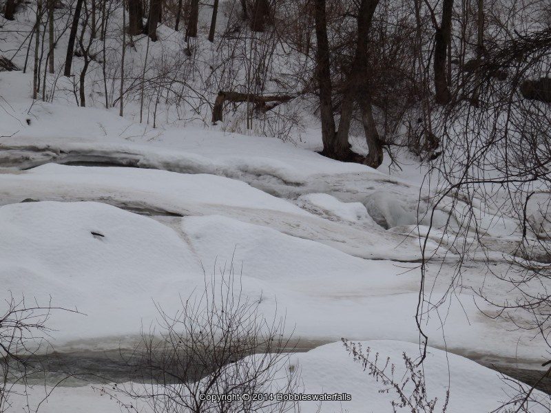
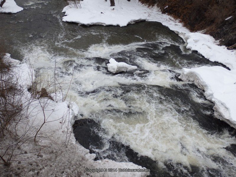
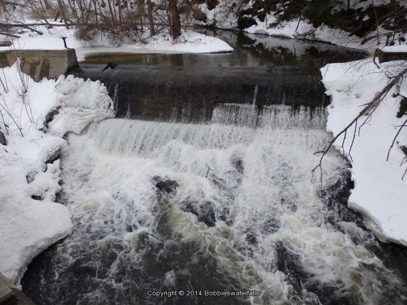
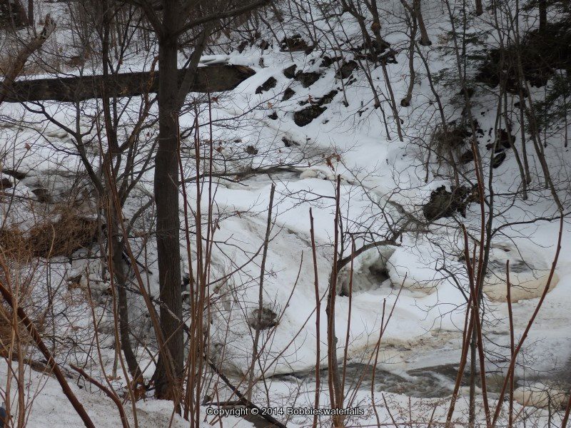
Krystal Falls Schenectady County Eastern New York

The view of the falls from the road in which resources indicated to take did not give a clear view of the falls. We drove over to the restaurant/bar, “Pig N Whistles” their was quite the crowd of people and so we did not go in and get permission to access the falls. There was a fence up around the whole back and view of falls was not accessible. Also with all the snow it did not appear anyone was walking back there. Plans to return in the future.

Krystal Falls Schenectady County Eastern New York 2-22-2014_00001.JPG


Krystal Upper Falls Schenectady County Eastern New York

As we pulled out of the parking from the restaurant, I spotted this directly across the road and named it Upper Falls.

Krystal Upper Falls Schenectady County Eastern New York 2-22-2014_00002.JPG


Lock 7 Dam and Falls Schenectady County Eastern New York

Located at the VISCHER FERRY HYDRO ELECTRIC PLANT. The gate was closed, however there is a small parking area at the top. The sign states a public fishing access. We walked around the gate and went down to the bottom. There were other folks there as well.

Lock 7 Dam and Falls Schenectady County Eastern New York 2-22-2014_00006.JPG


Buttermilk Falls (Schagticoke) Rensselaer County Eastern New York

This is a roadside waterfalls. Downstream is another waterfall, which is on private property. I tried taking a couple of photos, which would be views of the top of that waterfall.

Buttermilk Falls (Schagticoke) Rensselaer County Eastern New York 2-22-2014_00006.JPG


Hidden Falls Rensselaer County Eastern New York

This is located on private property. Should I get to the location again, I plan on seeing if I can obtain permission for access.

Great Falls of the Hoosic Rensselaer County Eastern New York

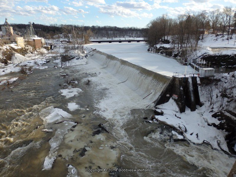
This is one of my corrected errors. Right location and information, had the wrong name. I had wrongly listed this as Hoosic Falls. This is also known as Great Falls. This one has the big dam on the one side of the bridge.

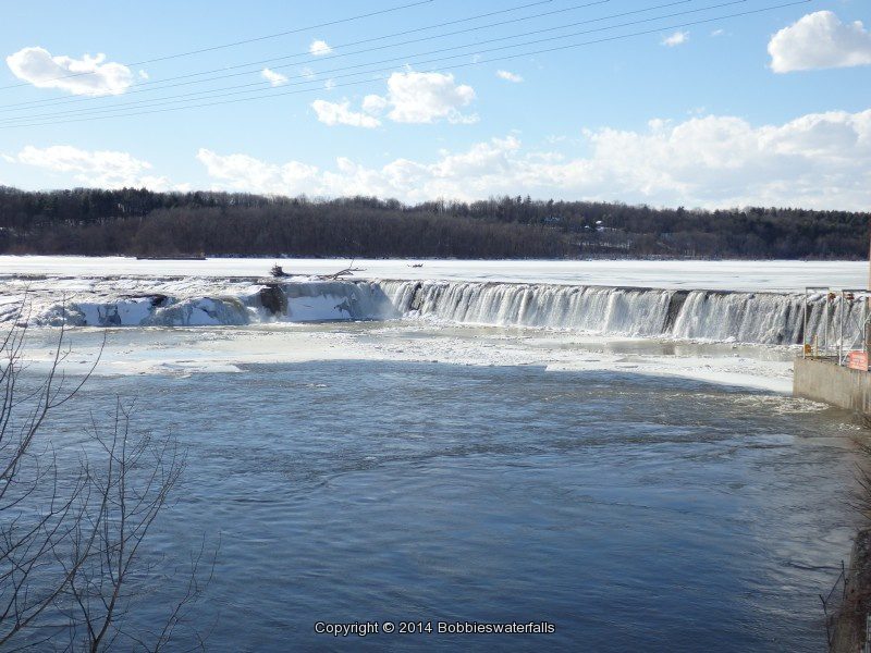
Great Falls of the Hoosic Rensselaer County Eastern New York 2-22-2014_00006.JPG


Valley Falls Rensselaer County Eastern New York

This is also know as Schagticoke Falls. I believe I found this but there was no real photo opportunity as of ice and snow it did not look like much of anything. This is listed as being rapids.

Factory Hollow Falls Rensselaer County Eastern New York

This is listed as having small drop of about 4 feet.

Factory Hollow Falls Rensselaer County Eastern New York 2-22-2014_00004.JPG


Goulds Creek (Falls on) South Oakwood Cemetery Rensselaer County Eastern New York

This is also known as Goulds Creek Lower Falls and Devil’s Kitchen Falls. By the time we got here and found it we were working with very little daylight. Plans to return to this location in the future.

Goulds South Rensselaer County Eastern NY 2-22-2014_00003.JPG


Goulds Creek (Falls on) North Oakwood Cemetery Rensselaer County Eastern New York

We bypassed this for another time.

Day 2 to follow

Krystal Falls, Schenectady County, New York

Krystal Falls in Schenectady County, New York

Krystal Falls in Schenectady County, New York

Krystal Falls in Schenectady County, New York
Looking for information to help a reader out. Does anyone have any knowledge of the following area and or history, or where we may find some?

Here is what they asked…I grew up near Krystal Falls in Burnt Hills, N.Y. back in the 1930’s. I am the granddaughter of the late Charles Heckeler, once owner of the mill that was located at this falls. Back in the nineties I visited the restaurant there, the site where we kids went swimming. I was looking for info. about my grandpa’s mill and possibly pictures of the area. Do you have any suggestions where I can locate this information?

Krystal Falls Upper